More accurate mapping

By MJ Woof July 31, 2024 Read time: 1 min
Trimble and Radiodetection have established a collaboration to develop better digital maps of underground utilities

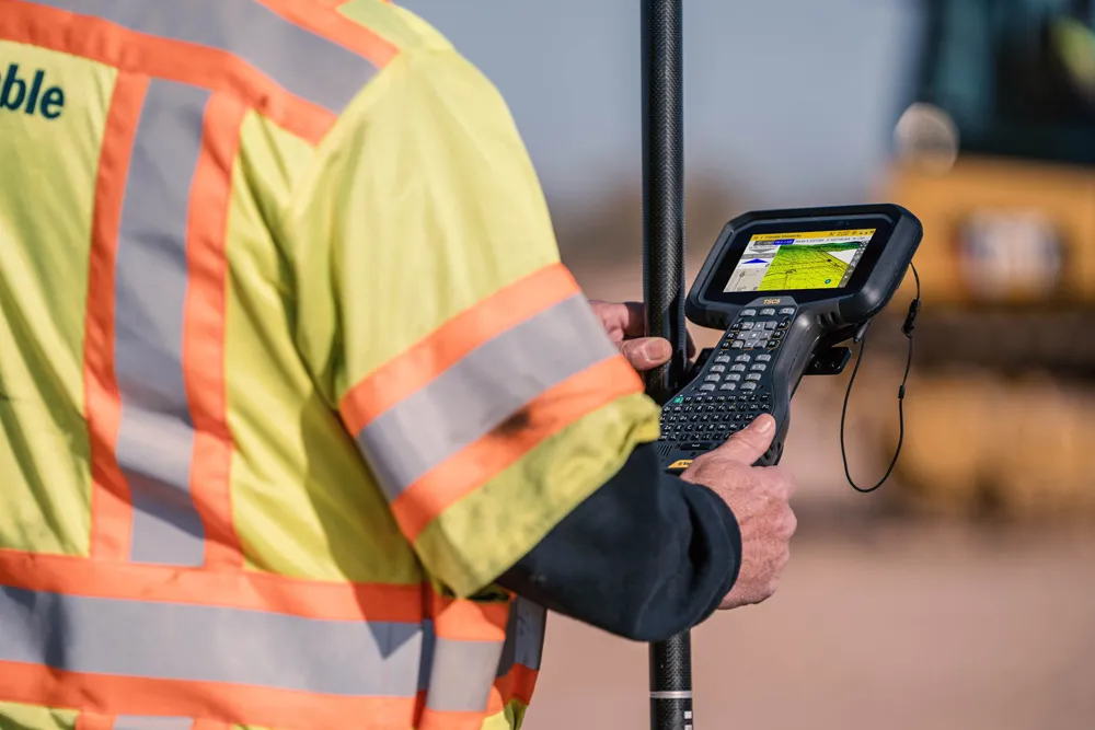
Trimble and Radiodetection have established a collaboration to improve the technology used in the utility measurement and mapping process. Through the integration of the Trimble Catalyst DA2 GNSS system and Radiodetection’s RD MapTM+ application and precision locator products, the software and hardware integration streamlines utility-locating workflows. This can provide high-accuracy measurement capabilities for the generation of underground utilities maps in a single field operation. 

Traditionally, field technicians mark their measurements onsite manually or rely on data entries to provide to office staff for map creation after a site visit. Data collected with the Trimble Catalyst DA2 GNSS system can now be synced with Radiodetection RD Map+ and precision locators that find and mark buried utilities. By streamlining this connection, workers can digitise utility-line locations and reduce costly reporting errors.  

This integration advances utility measurement workflows by giving personnel the capability to accurately represent the utility asset in a digital format. This streamlines the operation, maintenance and construction process whenever utilities are involved. 

For more information on companies in this article

Related Content

  • Milling efficiently with machine control
    July 11, 2018
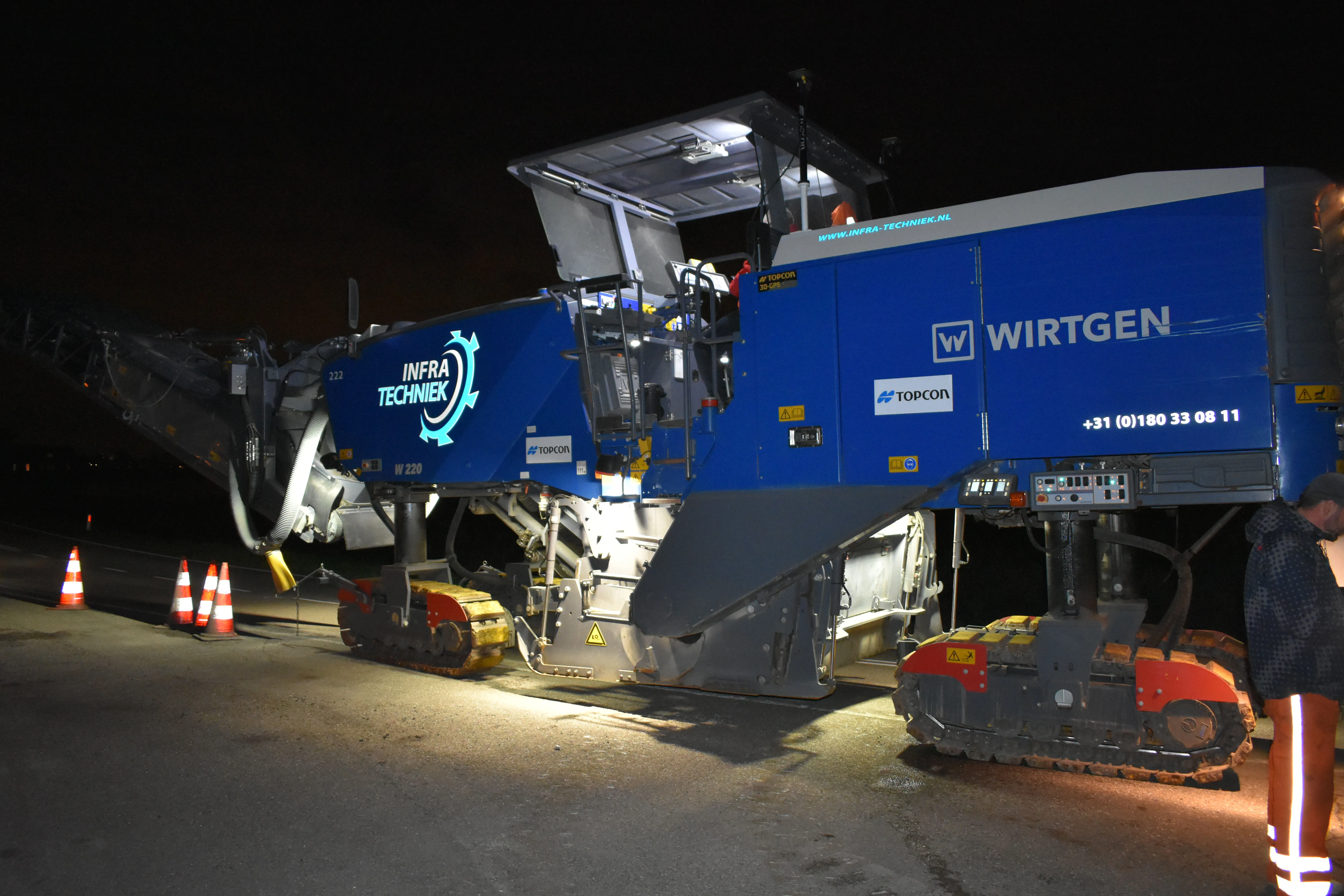
    A contractor in the Netherlands has found that using Topcon’s latest machine control technology can deliver higher quality work at higher productivity The firm, Van Gelder, was looking for a solution to survey, mill and resurface a 7km length of the N518 to the island of Marken more quickly, more safely and more accurately. Together with Infra-Techniek, the company opted to use the latest package developed by Topcon for automatic milling. The N518 from Monnickendam is the only connecting road to the form
  • Rugged controller for site use
    June 25, 2021
    Trimble is now offering its TSC5 Controller, a rugged and lightweight field controller for civil construction surveyors.
  • Information technology and transport development
    April 12, 2012
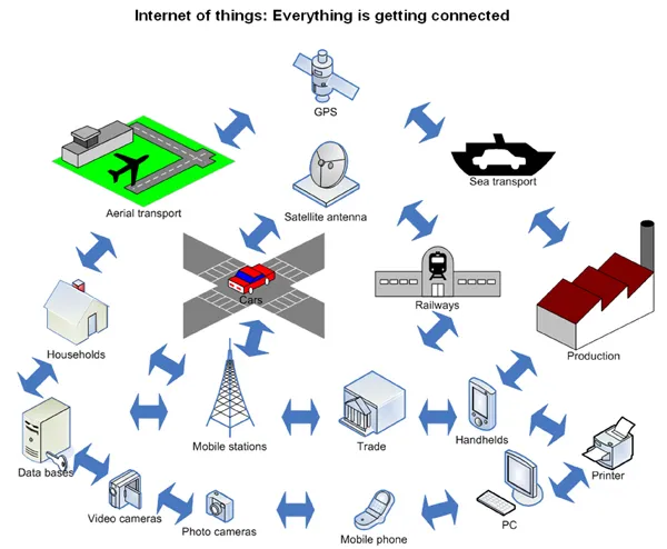
    A team of eminent Russian specialists* introduce exciting new information technologies, such as the Internet of Things, and foresee their promising applications in the field of transport infrastructure development. Global economic growth, combined with explosive digital technology proliferation, brings new challenges to the field of transport infrastructure. Technical advances such as Intelligent Transportation Systems (ITS), vehicle to infrastructure interfaces, global positioning, electronic toll collecti
  • Information technology and transport development
    February 16, 2012
    A team of eminent Russian specialists* introduce exciting new information technologies, such as the Internet of Things, and foresee their promising applications in the field of transport infrastructure development