More accurate mapping

By MJ Woof July 31, 2024 Read time: 1 min
Trimble and Radiodetection have established a collaboration to develop better digital maps of underground utilities

Trimble and Radiodetection have established a collaboration to improve the technology used in the utility measurement and mapping process. Through the integration of the Trimble Catalyst DA2 GNSS system and Radiodetection’s RD MapTM+ application and precision locator products, the software and hardware integration streamlines utility-locating workflows. This can provide high-accuracy measurement capabilities for the generation of underground utilities maps in a single field operation. 

Traditionally, field technicians mark their measurements onsite manually or rely on data entries to provide to office staff for map creation after a site visit. Data collected with the Trimble Catalyst DA2 GNSS system can now be synced with Radiodetection RD Map+ and precision locators that find and mark buried utilities. By streamlining this connection, workers can digitise utility-line locations and reduce costly reporting errors.  

This integration advances utility measurement workflows by giving personnel the capability to accurately represent the utility asset in a digital format. This streamlines the operation, maintenance and construction process whenever utilities are involved. 

For more information on companies in this article

Related Content

  • Accurate positioning with Topcon
    March 13, 2024

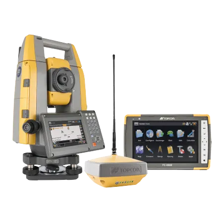
    The new Hybrid Positioning system from Topcon is said to perform faster in the field than stand-alone robotic systems and is more versatile than RTK-only solutions. The latest Hybrid Positioning technology combines GNSS positioning and optical robotic measurements on one rover pole.

  • 3D Repo develop virtual reality safety app for Balfour Beatty
    April 18, 2017
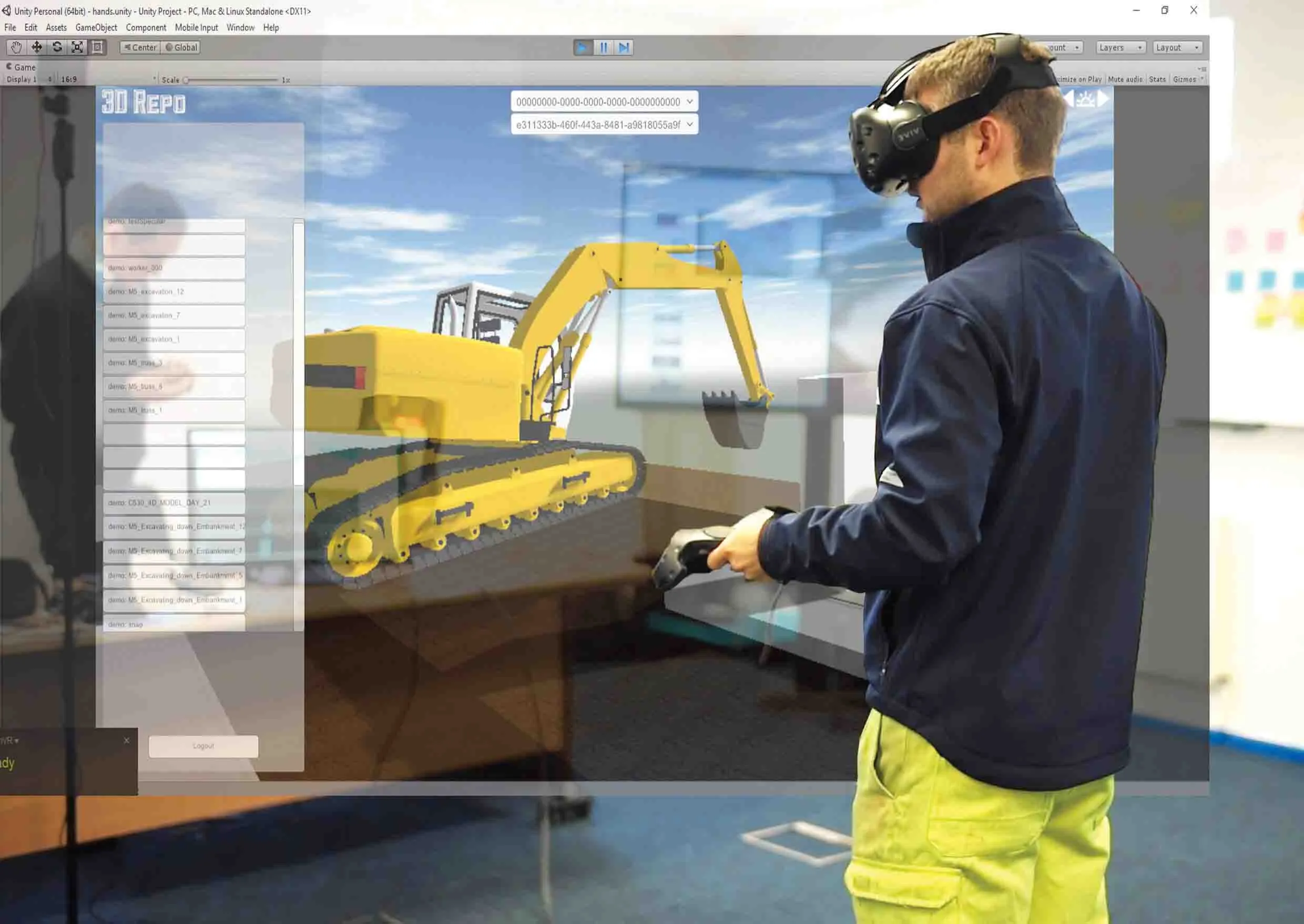
    3D Repo is working with contractors Balfour Beatty and Vinci and the UK roads agency Highways England to deploy a virtual reality simulation program for safety training. 3D Repo, a spin-off from University College London, develops open-source software for building information modelling in the cloud. More than 40 different 3D file formats are decomposed and federated in the company’s big data repository.
  • Benin airport job for Topcon’s RD-M1 scanner
    May 13, 2022
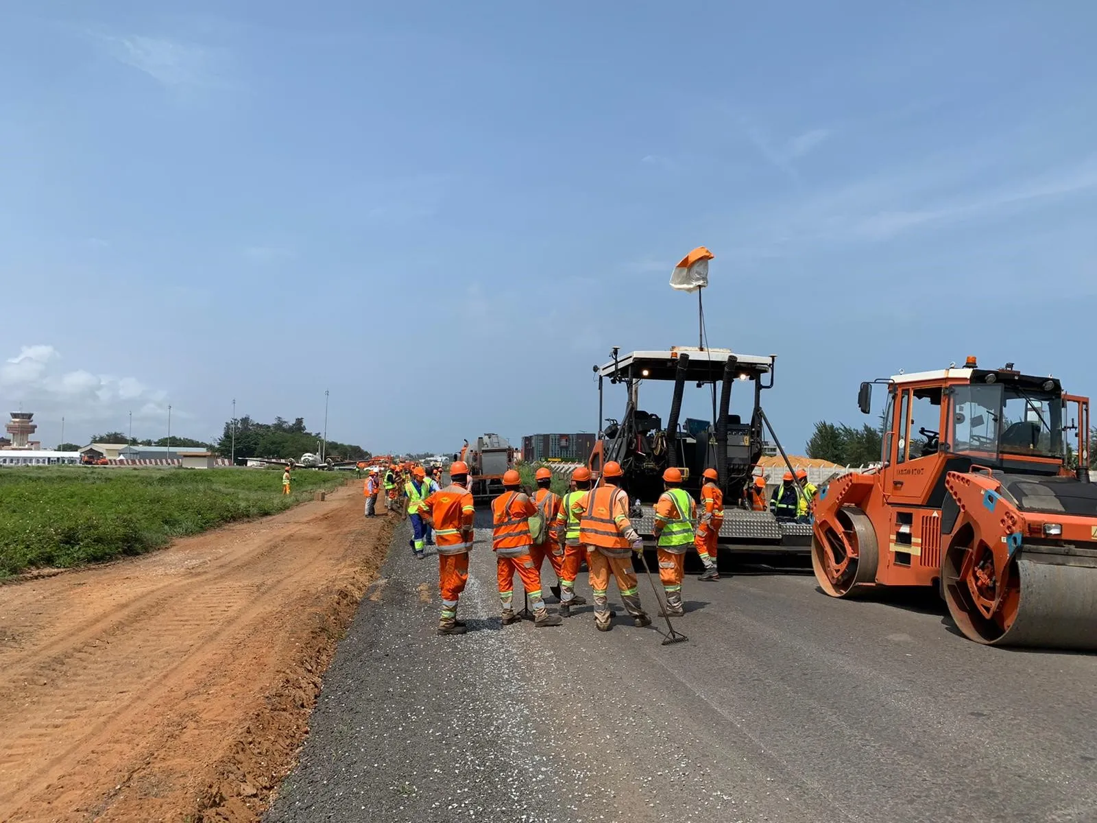
    A $16 million runway project at Cotonou Cadjehoun Airport needed Topcon Positioning’s RD-M1 road scanner to ensure precise milling and quality resurfacing.
  • Milling efficiently with machine control
    July 11, 2018
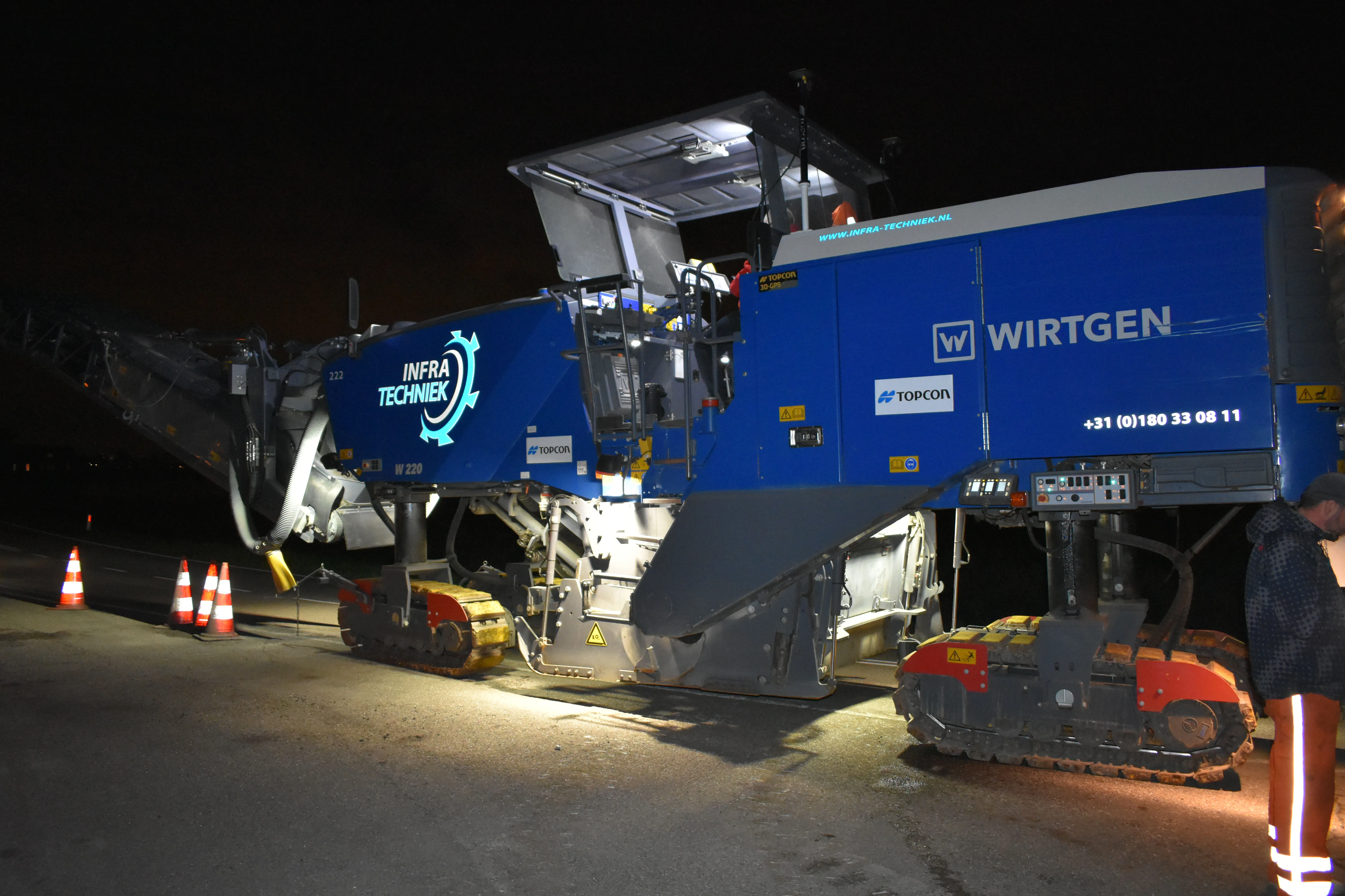
    A contractor in the Netherlands has found that using Topcon’s latest machine control technology can deliver higher quality work at higher productivity The firm, Van Gelder, was looking for a solution to survey, mill and resurface a 7km length of the N518 to the island of Marken more quickly, more safely and more accurately. Together with Infra-Techniek, the company opted to use the latest package developed by Topcon for automatic milling. The N518 from Monnickendam is the only connecting road to the form