More accurate mapping

By MJ Woof July 31, 2024 Read time: 1 min
Trimble and Radiodetection have established a collaboration to develop better digital maps of underground utilities

Trimble and Radiodetection have established a collaboration to improve the technology used in the utility measurement and mapping process. Through the integration of the Trimble Catalyst DA2 GNSS system and Radiodetection’s RD MapTM+ application and precision locator products, the software and hardware integration streamlines utility-locating workflows. This can provide high-accuracy measurement capabilities for the generation of underground utilities maps in a single field operation. 

Traditionally, field technicians mark their measurements onsite manually or rely on data entries to provide to office staff for map creation after a site visit. Data collected with the Trimble Catalyst DA2 GNSS system can now be synced with Radiodetection RD Map+ and precision locators that find and mark buried utilities. By streamlining this connection, workers can digitise utility-line locations and reduce costly reporting errors.  

This integration advances utility measurement workflows by giving personnel the capability to accurately represent the utility asset in a digital format. This streamlines the operation, maintenance and construction process whenever utilities are involved. 

For more information on companies in this article

Related Content

  • Advances in tunneling technology offer efficiency
    October 18, 2017
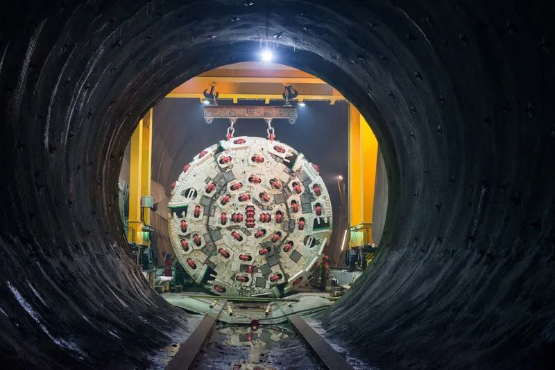
    New developments in tunnelling technologies offer contractors greater efficiencies when constructing new bores. Tunnel boring machines (TBMs) are widely being used in major projects such as the Brenner Base Tunnel in the Austrian Alps. Full face TBMs are highly sophisticated machines featuring a rotating drilling head, which removes the material, and, depending on the type of construction, secures the excavated tunnel with shotcrete, rock bolts and wire mesh or prefabricated segments of reinforced concrete.
  • XenomatiX boosts its road scanning solution
    September 29, 2023
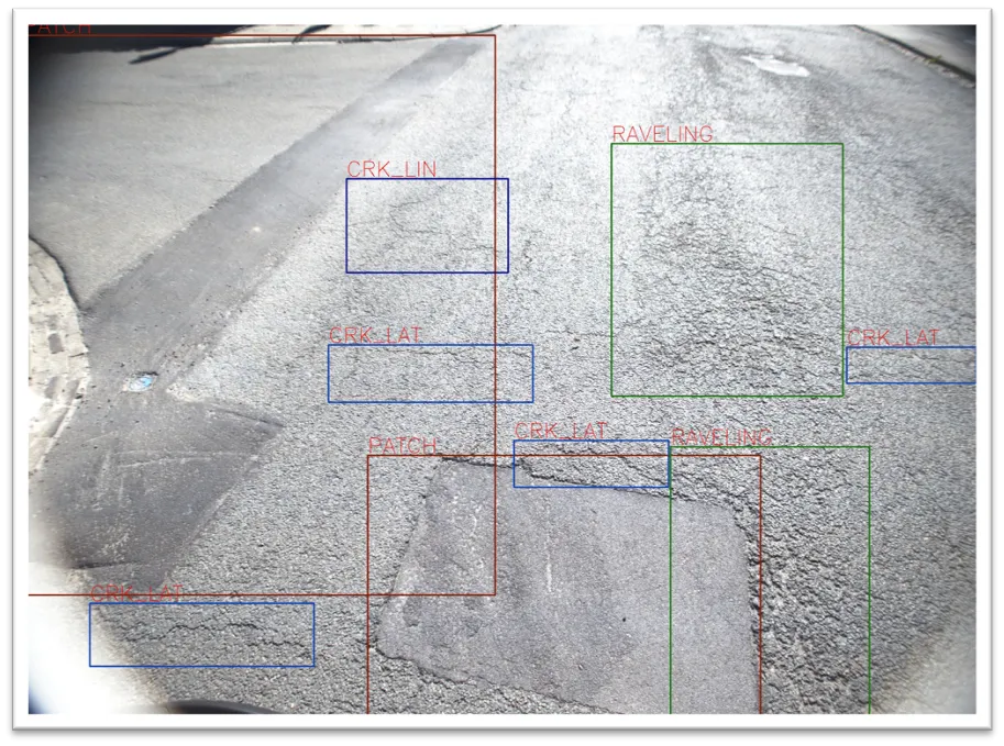
    An additional 14 types of road distress can be measured, including cracks, bleeding and raveling.
  • Weigh in motion technology reduces road damage
    February 8, 2012
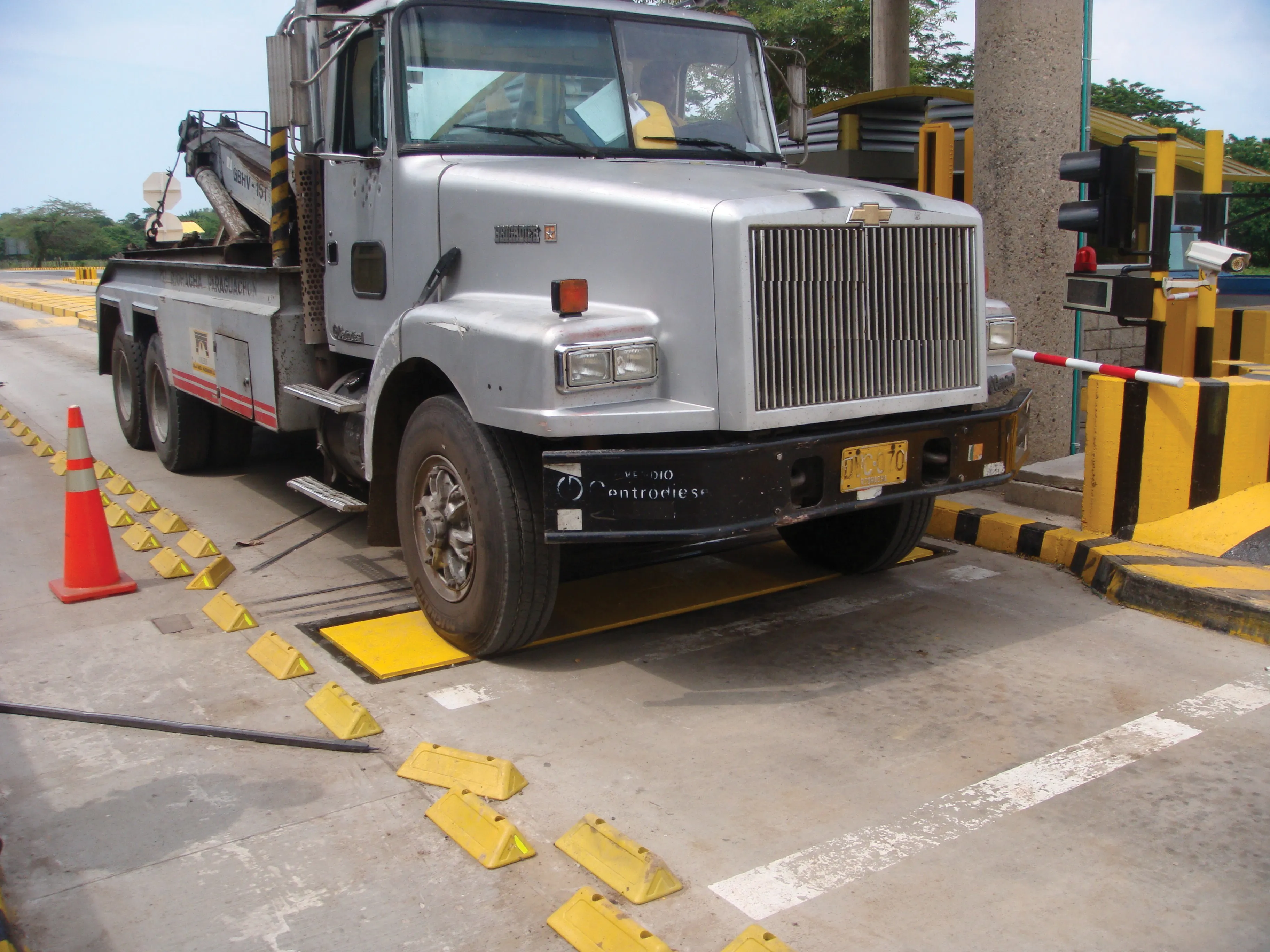
    Overweight vehicles cause enormous damage to road structures but they can be caught, even at high speed. Weigh-in-motion or WIM devices are designed to capture and record axle weights and gross vehicle weights as vehicles drive over a measurement site.
  • Upgrades to existing plants with retrofits
    June 24, 2021
    Existing mix plants can be upgraded significantly by retrofitting, as has been seen by a plant upgrade for a client in Mintraching, close to Regensburg in Bavaria