Mapping effectively with vehicle-based imaging

Yotta is offering an innovative vehicle-based imaging service that will provide accurate high-resolution panoramic street-level views of highway features. The vehicle is equipped with a 60 megapixel panoramic camera developed by Yotta and uses Applanix satellite positioning technology to log the exact location of each image. The vehicle cam improves street-level mapping operations with accurate 3D images of buildings and other highway features, such as signs, trees, barriers and fences. Called Y360, the veh
July 23, 2012 Read time: 2 mins
5153 Yotta DCL is offering an innovative vehicle-based imaging service that will provide accurate high-resolution panoramic street-level views of highway features. The vehicle is equipped with a 60 megapixel panoramic camera developed by Yotta and uses Applanix satellite positioning technology to log the exact location of each image. The vehicle cam improves street-level mapping operations with accurate 3D images of buildings and other highway features, such as signs, trees, barriers and fences. Called Y360, the vehicle's digital camera captures images every 2m, with the position calculated by combining GPS, inertial and optical tracking systems. These images are processed by Yotta software that gives the precise position and detailed information for each feature captured by the camera. According to the firm, Y360 offers a huge step forward in technology. The vehicle is being used for an array of applications including highway asset collection for local authorities, highways agencies and their contractors, and 3D mapping for utility companies.

For more information on companies in this article

Related Content

  • Building a car dealership with machine control
    May 21, 2018
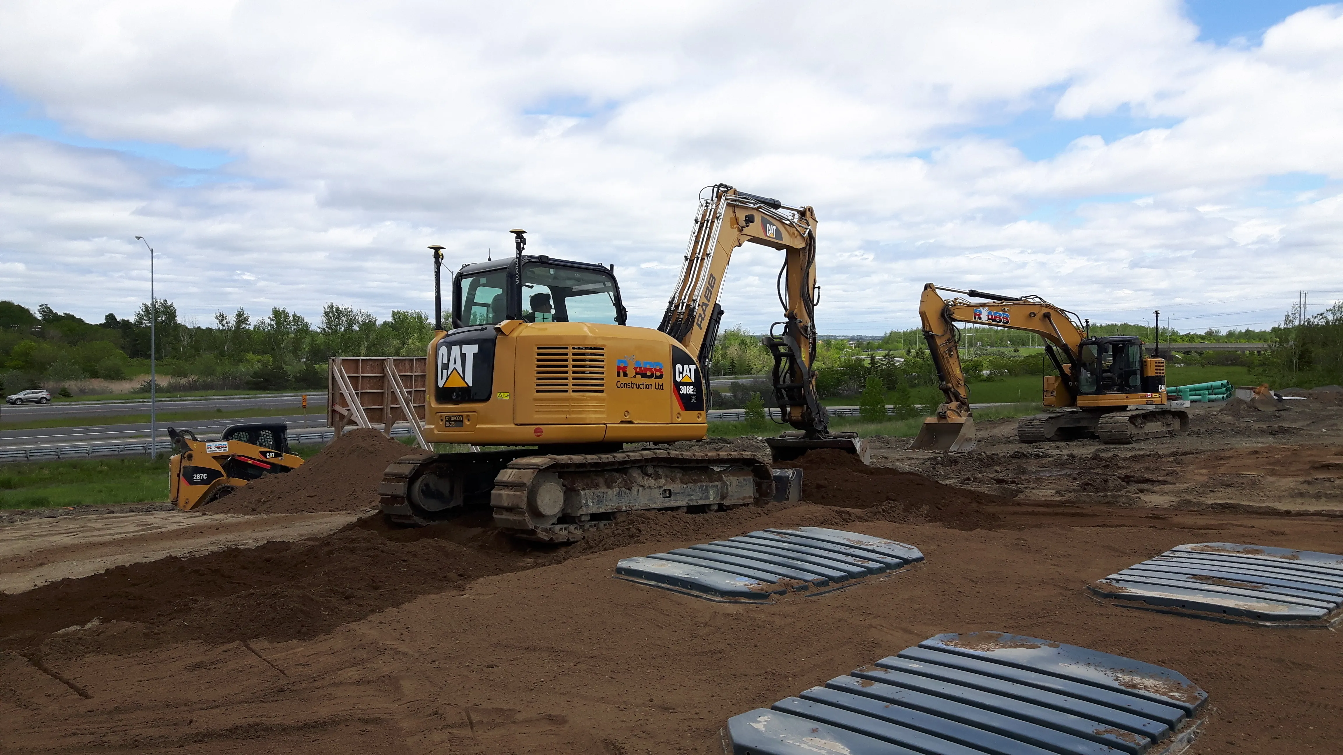
    Canadian contractor MB Ford Construction recently built a massive car sales facility in Canada. Meanwhile the highly specialised site preparation job was sub-contracted to another local firm, Rabb Construction. The new Dilawri Auto Mall was a sizeable, heavy civil project on a 6ha site. Rabb needed to level and grade the site for the four car dealer elevated building pads and their surrounding inventory lots and customer parking. The contract included excavating three storm water runoff retention ponds, wh
  • Toll-tale market strength for leading tolling manufacturers
    May 22, 2014
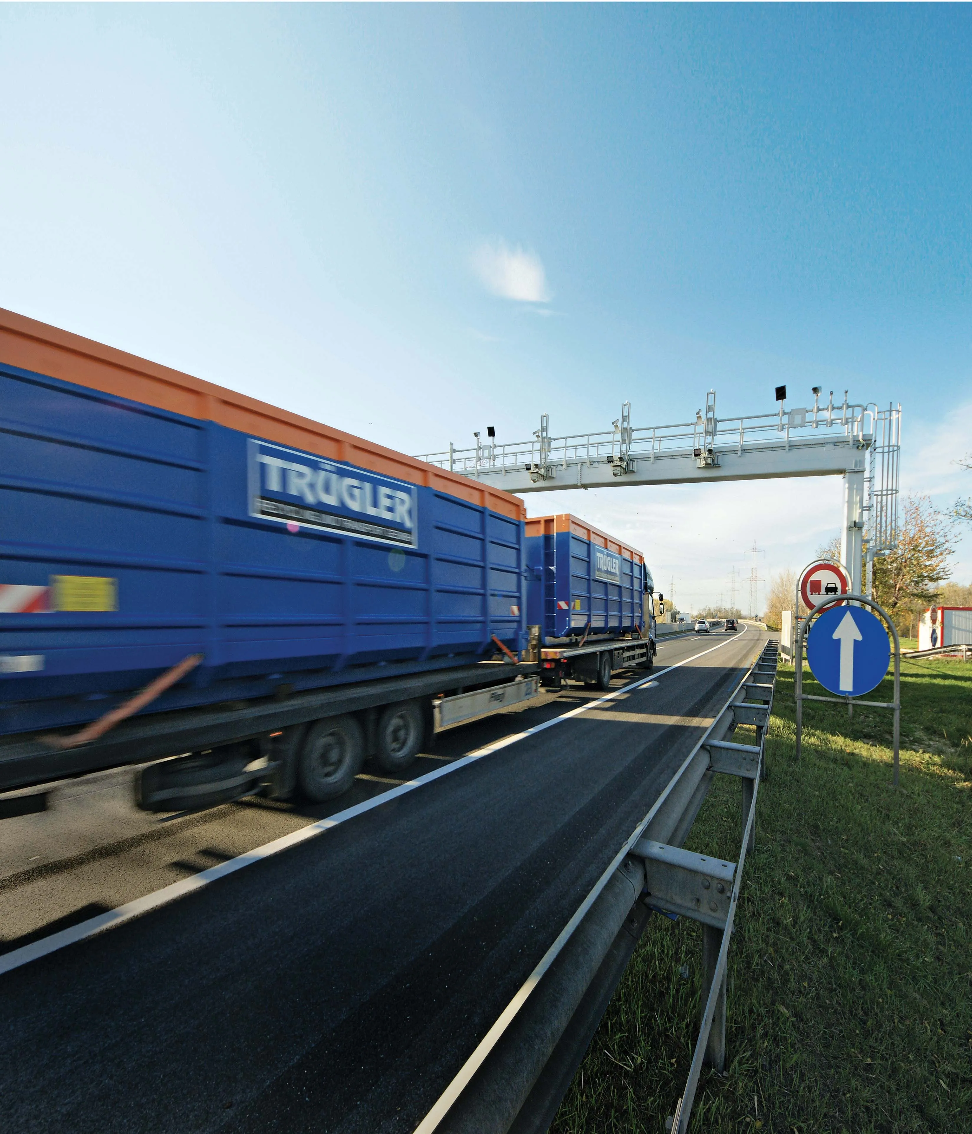
    New major highway tolling solution supply contracts and the launch of cutting-edge tolling products have invigorated the global tolling technology market in the first half of 2014, as Guy Woodford reports Kapsch TrafficCom has been selected by North Tarrant Express (NTE) Mobility Partners LLC to provide the toll collection, intelligent transport and network communication systems for the NTE extension project in the US state of Texas. The NTE extension is approximately 16km long, and runs along I-35W north o
  • Supergeo offers GIS training tool
    April 27, 2015
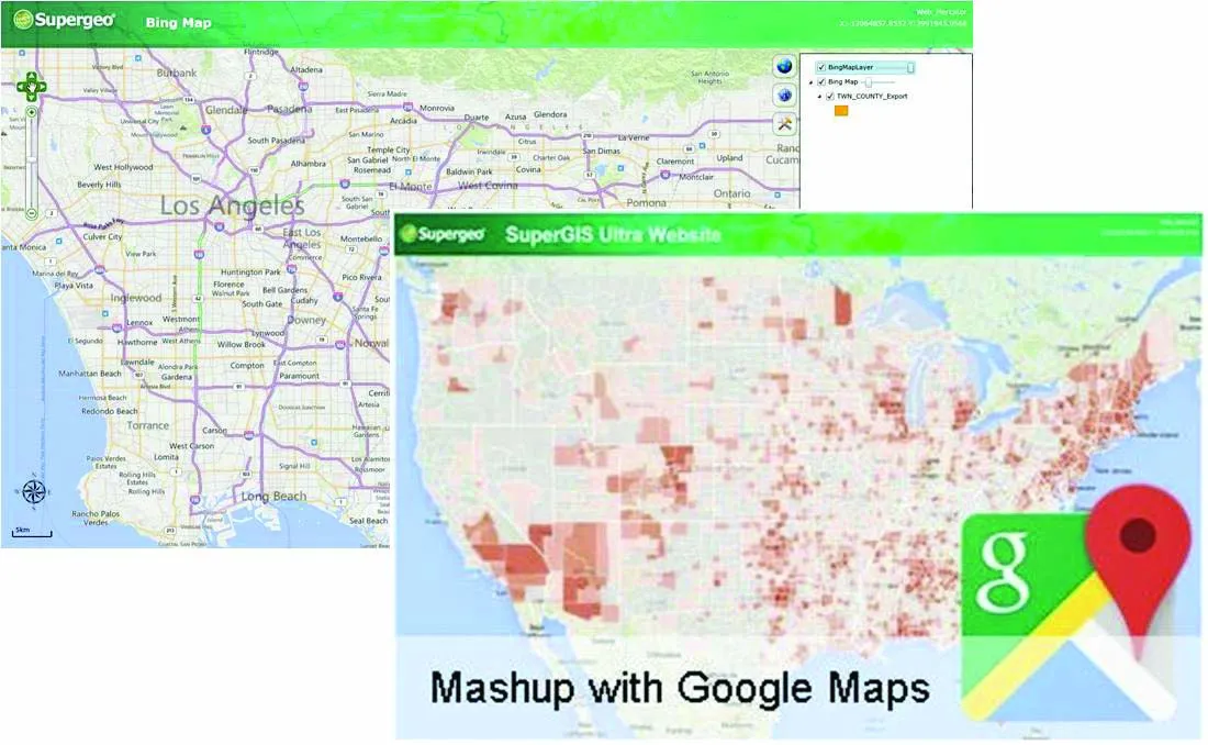
    Supergeo Technologies says that its latest packages offer effective training for both GIS users and non-GIS professionals, as well as new tools for sharing geospatial data. The training offering comes in the shape of free online courses with extensive learning materials. The firm says that it is a leader in the field with its state-of-the-art GIS technology and is able to assist personnel from various industries to address different tasks with spatial information. A comprehensive series of online course
  • New milling and stabilisation technology is coming to market
    May 29, 2013
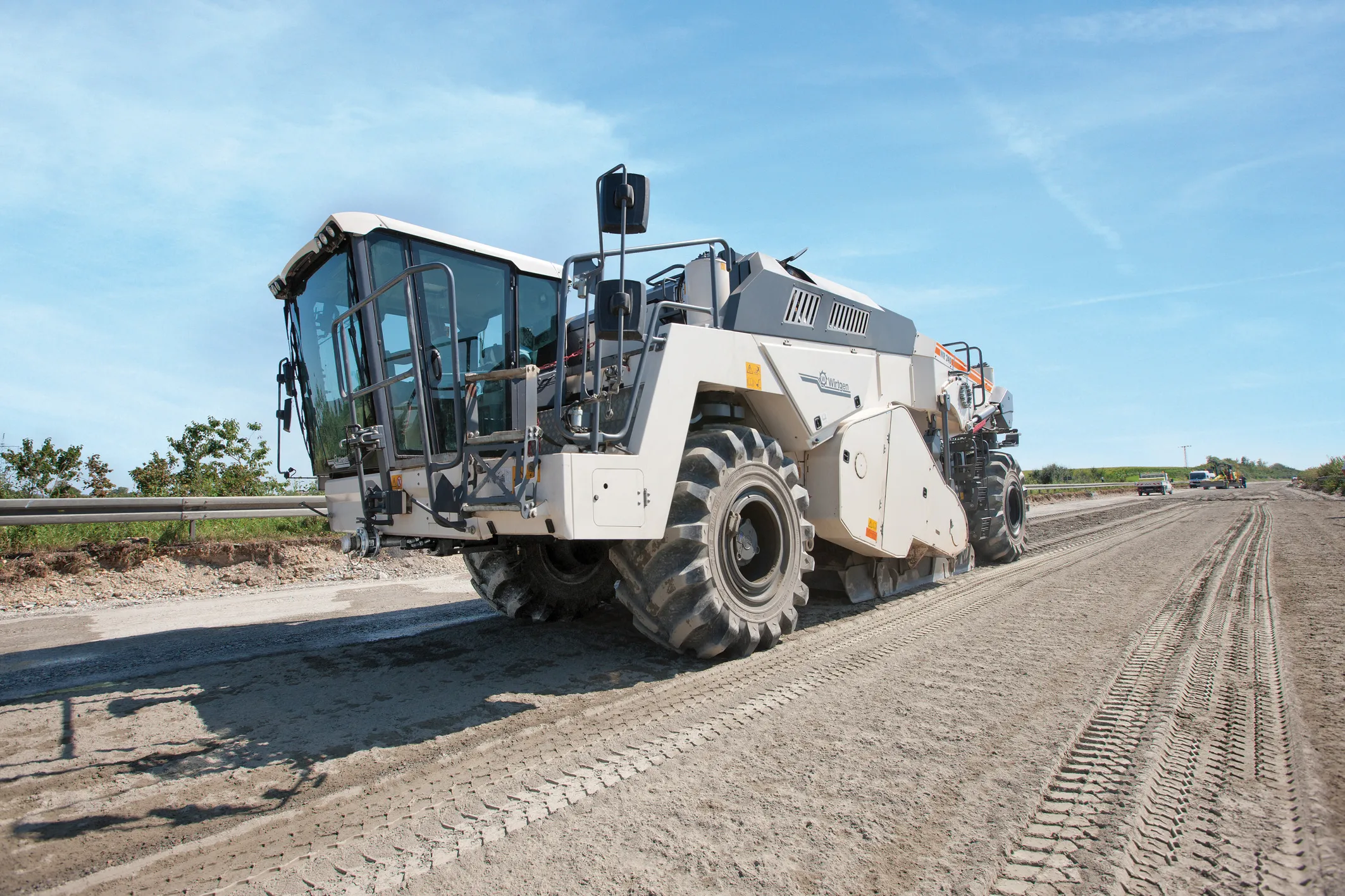
    An array of new developments in the market for road recycling and stabilisation machines as well as milling equipment is now on offer - Mike Woof reports. Major new developments are being seen in the sector for road recycling and stabilisation equipment, as well as milling machines. New models are coming to market that benefit from the latest low emission engine technology to meet the increasingly tough European and North American requirements.