Mapping effectively with vehicle-based imaging

Yotta is offering an innovative vehicle-based imaging service that will provide accurate high-resolution panoramic street-level views of highway features. The vehicle is equipped with a 60 megapixel panoramic camera developed by Yotta and uses Applanix satellite positioning technology to log the exact location of each image. The vehicle cam improves street-level mapping operations with accurate 3D images of buildings and other highway features, such as signs, trees, barriers and fences. Called Y360, the veh
July 23, 2012 Read time: 2 mins
5153 Yotta DCL is offering an innovative vehicle-based imaging service that will provide accurate high-resolution panoramic street-level views of highway features. The vehicle is equipped with a 60 megapixel panoramic camera developed by Yotta and uses Applanix satellite positioning technology to log the exact location of each image. The vehicle cam improves street-level mapping operations with accurate 3D images of buildings and other highway features, such as signs, trees, barriers and fences. Called Y360, the vehicle's digital camera captures images every 2m, with the position calculated by combining GPS, inertial and optical tracking systems. These images are processed by Yotta software that gives the precise position and detailed information for each feature captured by the camera. According to the firm, Y360 offers a huge step forward in technology. The vehicle is being used for an array of applications including highway asset collection for local authorities, highways agencies and their contractors, and 3D mapping for utility companies.

For more information on companies in this article

Related Content

  • Luxembourg duty for KiTraffic Plus
    September 28, 2023

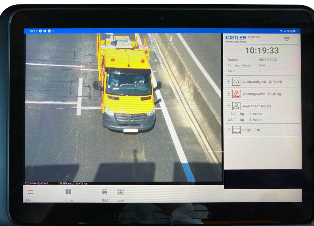
    Luxembourg has opted for Kistler’s KiTraffic Plus weigh-in-motion system as it implements new commercial vehicle enforcement to meet the European Union requirements.

    The WIM installation is located on the A6 motorway about 2km from the border with Belgium. Several hundred meters of the road surface were renewed ahead of time so there would be no need to replace the sensors after a few years because of scheduled maintenance. The complete KiTraffic Plus system weighs trucks and delivery vans without interrupting motorway traffic, providing the basis for efficient weight enforcement.

  • Road accident data management
    July 19, 2012
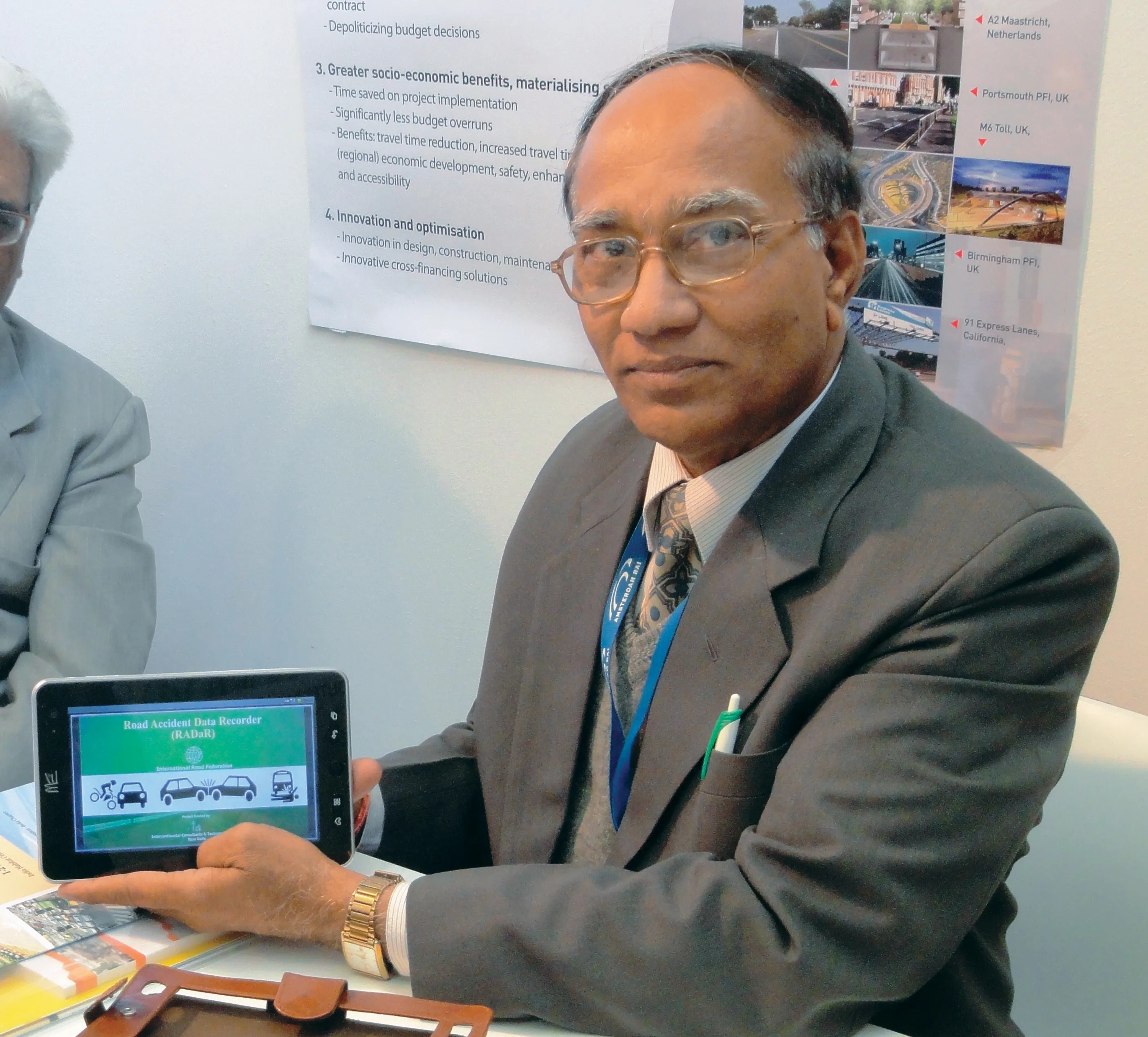
    IRF Geneva unveils a modern solution for road accident data management. This year's Intertraffic Amsterdam exhibition provided a high-profile backdrop for the launch of RADaR, a pioneering new tablet application developed to facilitate the on-site collection of precise and scientific accident data, primarily by traffic police. Introducing the application to an international audience gathered in the venue’s inaugural Smart Mobility Centre, IRF Geneva's director general, Sibylle Rupprecht, highlighted RADaR's
  • Axtec’s drive-over axle weighbridge efficiency
    December 3, 2013
    Installation of dynamic drive-over axle weighbridges by Axle Weight Technology (Axtec) at eight of Hanson Building Products (HBP) production sites is said to be helping HBP improve the efficiency of its transport operations, while also ensuring the firm is legally compliant on vehicle weights and reducing its CO2 emissions.
  • Ver-Mac launches the cloud-based WZMC-1000 work zone camera system
    May 18, 2018
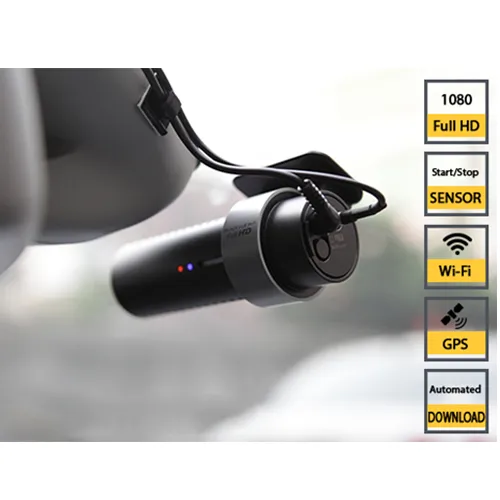
    Ver-Mac has launched the WZMC-1000, a fully-automated cloud-based work zone camera system. It comes with an integrated GPS, as well as integrated wifi, a proximity sensor to start-stop recording and voice feedback. The Canadian company, based in Quebec City, says that the easy-to-use low-cost high-definition system allows contractors and agencies a tool to document their projects with very minimal management. It provides high-quality videos along with automatic video transfer and cloud-based storage.