Mapping effectively with vehicle-based imaging

Yotta is offering an innovative vehicle-based imaging service that will provide accurate high-resolution panoramic street-level views of highway features. The vehicle is equipped with a 60 megapixel panoramic camera developed by Yotta and uses Applanix satellite positioning technology to log the exact location of each image. The vehicle cam improves street-level mapping operations with accurate 3D images of buildings and other highway features, such as signs, trees, barriers and fences. Called Y360, the veh
July 23, 2012 Read time: 2 mins
5153 Yotta DCL is offering an innovative vehicle-based imaging service that will provide accurate high-resolution panoramic street-level views of highway features. The vehicle is equipped with a 60 megapixel panoramic camera developed by Yotta and uses Applanix satellite positioning technology to log the exact location of each image. The vehicle cam improves street-level mapping operations with accurate 3D images of buildings and other highway features, such as signs, trees, barriers and fences. Called Y360, the vehicle's digital camera captures images every 2m, with the position calculated by combining GPS, inertial and optical tracking systems. These images are processed by Yotta software that gives the precise position and detailed information for each feature captured by the camera. According to the firm, Y360 offers a huge step forward in technology. The vehicle is being used for an array of applications including highway asset collection for local authorities, highways agencies and their contractors, and 3D mapping for utility companies.

For more information on companies in this article

Related Content

  • Arizona uses 1Spatial for inventory for the FHWA requirements
    February 6, 2017
    The US state of Arizona is using 1Spatial’s technology to send a yearly update of its entire road network to the Federal Highway Administration. As required by law, all state governments must do this and many have created a data set of their road network. But much of this is held at county level. The challenge, now that data has been collected, is how to keep this information up-to-date and accurate. 1Spatial software will automate the data validation process and also the change process. The technology w
  • Topcon offers the potential for smoother roads
    May 11, 2018
    An improved package from Topcon Positioning will allow upgrades in road surface quality. The firm is launching an upgrade to its SmoothRide data collection software. This new RD-M1 Collect 2.0 package includes updates that make the mapping of road conditions easier and more efficient. The improved interface is designed to simplify setup and automatically detect the position of the wheel sensor during data collection.
  • Accurate concrete paving with Wirtgen
    January 7, 2024

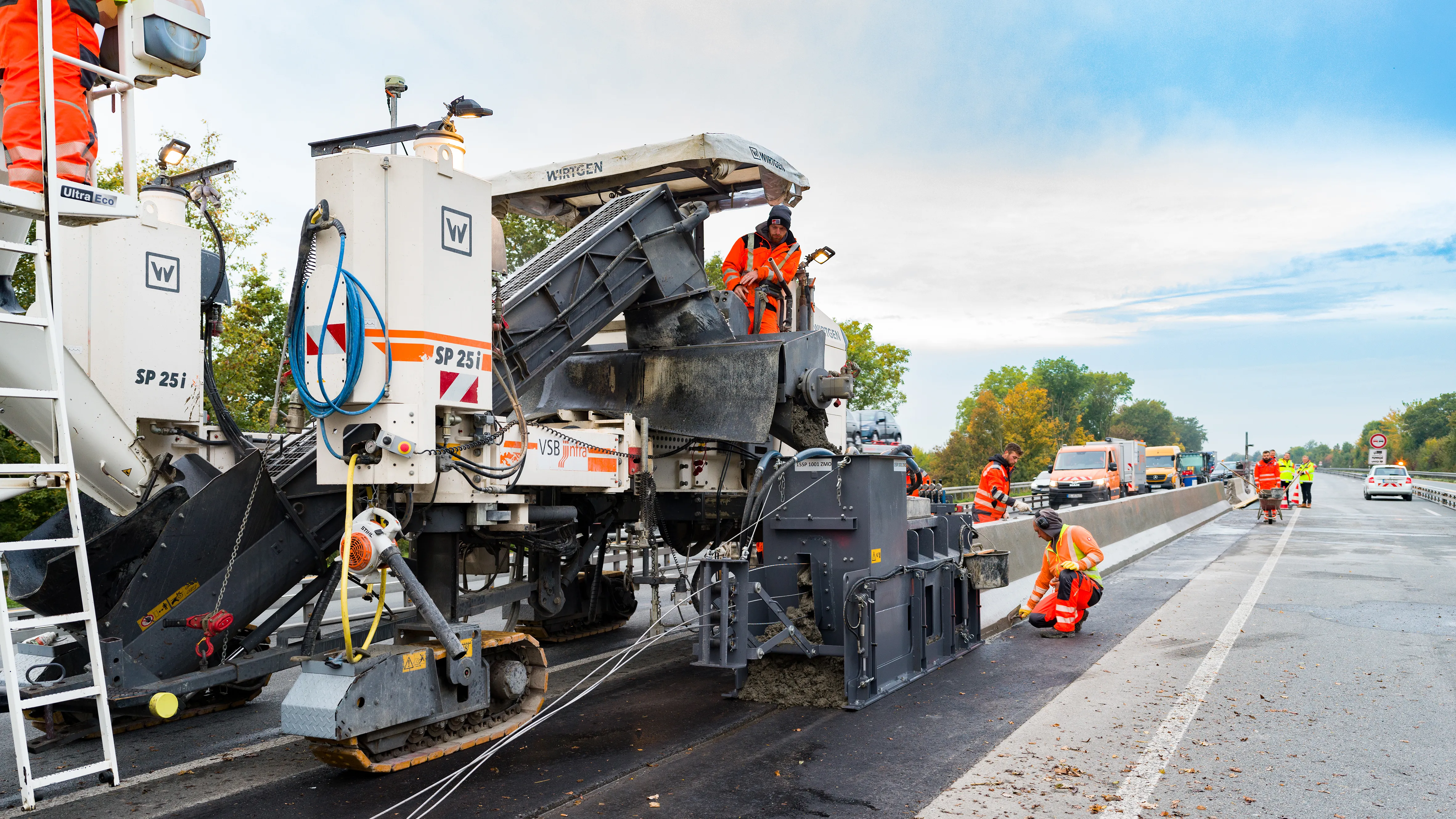
    Wirtgen’s improved stringless concrete paving system is being used on the A43 highway near Münster in Germany. 
    The AutoPilot 2.0 is a 3D control system that helps increase efficiency and safety. The system is being used to deliver a new poured in-place concrete safety barrier that will separate the eastbound and westbound lanes of the A 43 Autobahn.

  • How data mining and the intelligence it creates is helping sites run more effectively and efficiently
    December 13, 2022
    In this, the third in our series of top-level roundtable discussions led by World Highways, editor Mike Woof and roundtable host Nadira Tudor talk machine control technology with three world-class experts from Leica Geosystems (part of Hexagon), Topcon, and Trimble. There’s never been a more exciting time to be in construction as innovation makes us more productive, more efficient, more sustainable, and better connected. Autonomy means opportunity.