Mapping effectively with vehicle-based imaging

Yotta is offering an innovative vehicle-based imaging service that will provide accurate high-resolution panoramic street-level views of highway features. The vehicle is equipped with a 60 megapixel panoramic camera developed by Yotta and uses Applanix satellite positioning technology to log the exact location of each image. The vehicle cam improves street-level mapping operations with accurate 3D images of buildings and other highway features, such as signs, trees, barriers and fences. Called Y360, the veh
July 23, 2012 Read time: 2 mins
5153 Yotta DCL is offering an innovative vehicle-based imaging service that will provide accurate high-resolution panoramic street-level views of highway features. The vehicle is equipped with a 60 megapixel panoramic camera developed by Yotta and uses Applanix satellite positioning technology to log the exact location of each image. The vehicle cam improves street-level mapping operations with accurate 3D images of buildings and other highway features, such as signs, trees, barriers and fences. Called Y360, the vehicle's digital camera captures images every 2m, with the position calculated by combining GPS, inertial and optical tracking systems. These images are processed by Yotta software that gives the precise position and detailed information for each feature captured by the camera. According to the firm, Y360 offers a huge step forward in technology. The vehicle is being used for an array of applications including highway asset collection for local authorities, highways agencies and their contractors, and 3D mapping for utility companies.

For more information on companies in this article

Related Content

  • Accurate grading for Africa
    February 13, 2012
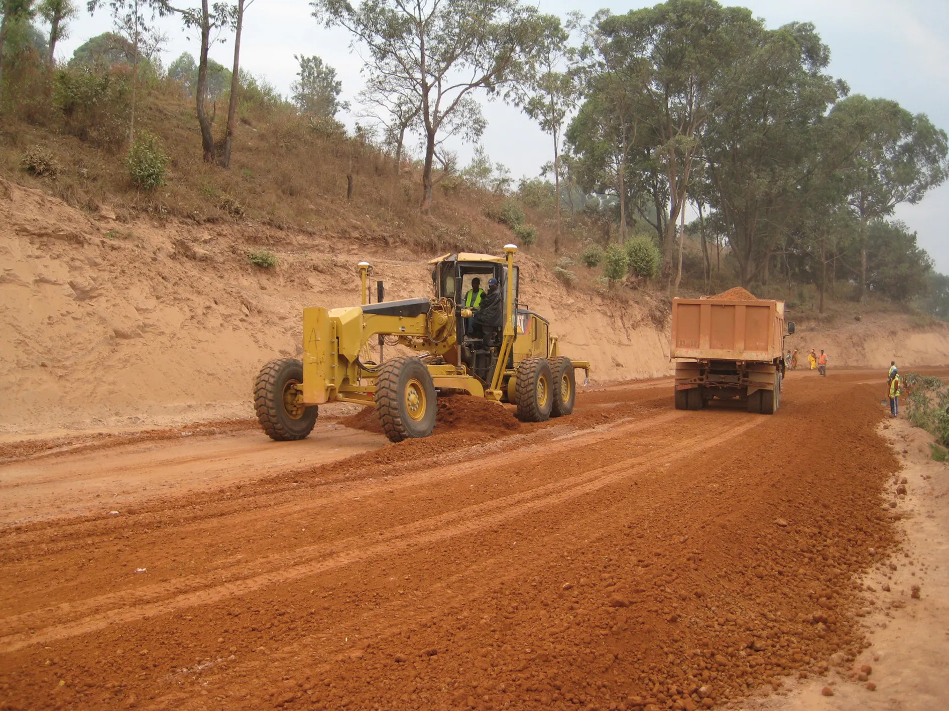
    Two Caterpillar 14M graders equipped with AccuGrade dual GPS systems with cross-slope capability are providing accurate finish for road construction and upgrading work on projects in the Republic of Burundi.
  • Trimble’s new package boosts piling accuracy; productivity
    October 1, 2014
    Trimble is now offering a dedicated, land-based 3D machine control system for use with a variety of piling machine makes and models. The DPS900 Piling System is said to boost accuracy and allows piling contractors to increase efficiency, taking over from less accurate manual alignment techniques that also take more time for set-up procedures and increase the risk of errors. The firm says that the DPS900 system means contractors can take advantage of accurate positioning and automated reporting to ensure
  • Innovative control system for concrete pavers
    February 14, 2012
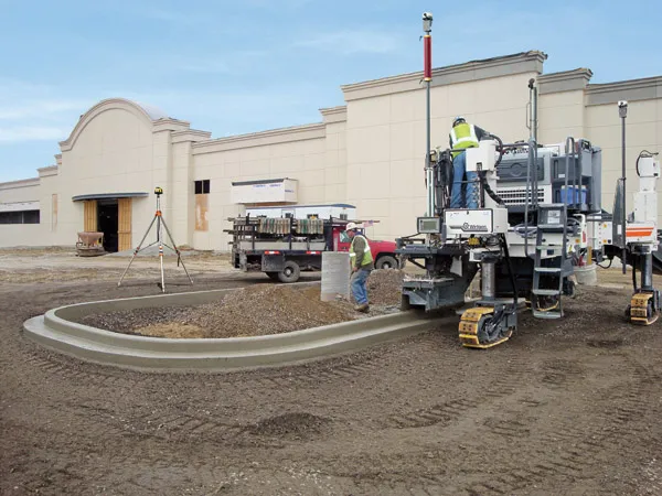
    Wirtgen has developed a novel control system for use on its concrete paving equipment. Matthias Fritz is the product engineer at Wirtgen tasked with developing the system. The new AutoControlpackage uses GPS technology to provide guidance for the machine's steering functions. Fritz added, "It has an augmentation centre for vertical control because it requires millimetre accuracy for height." This 3D control system is for use with the firm's SP15 and SP25 slipform pavers and is said to be a user-friendly, co
  • Trimble technology could slice a third off the new highway costs in Indonesia’s US$400 billion infrastructure plan
    February 21, 2014
    Cutting-edge Sandvik Construction equipment is said to be giving ambitious Argentinian quarry firm Canteras Amadeo a commercial advantage .Starting life as a one-quarry enterprise in Córdoba, Argentina, in 1999, Canteras Amadeo is a flourishing business with additional operations in Cordoba and Santiago del Estero. Key to its success is said to be its owners’ embrace of technological improvement, and their choice of Sandvik equipment to improve their processes.