Mapping effectively with vehicle-based imaging

Yotta is offering an innovative vehicle-based imaging service that will provide accurate high-resolution panoramic street-level views of highway features. The vehicle is equipped with a 60 megapixel panoramic camera developed by Yotta and uses Applanix satellite positioning technology to log the exact location of each image. The vehicle cam improves street-level mapping operations with accurate 3D images of buildings and other highway features, such as signs, trees, barriers and fences. Called Y360, the veh
July 23, 2012 Read time: 2 mins
5153 Yotta DCL is offering an innovative vehicle-based imaging service that will provide accurate high-resolution panoramic street-level views of highway features. The vehicle is equipped with a 60 megapixel panoramic camera developed by Yotta and uses Applanix satellite positioning technology to log the exact location of each image. The vehicle cam improves street-level mapping operations with accurate 3D images of buildings and other highway features, such as signs, trees, barriers and fences. Called Y360, the vehicle's digital camera captures images every 2m, with the position calculated by combining GPS, inertial and optical tracking systems. These images are processed by Yotta software that gives the precise position and detailed information for each feature captured by the camera. According to the firm, Y360 offers a huge step forward in technology. The vehicle is being used for an array of applications including highway asset collection for local authorities, highways agencies and their contractors, and 3D mapping for utility companies.

For more information on companies in this article

Related Content

  • Sophisticated weighing for loaders
    January 6, 2017
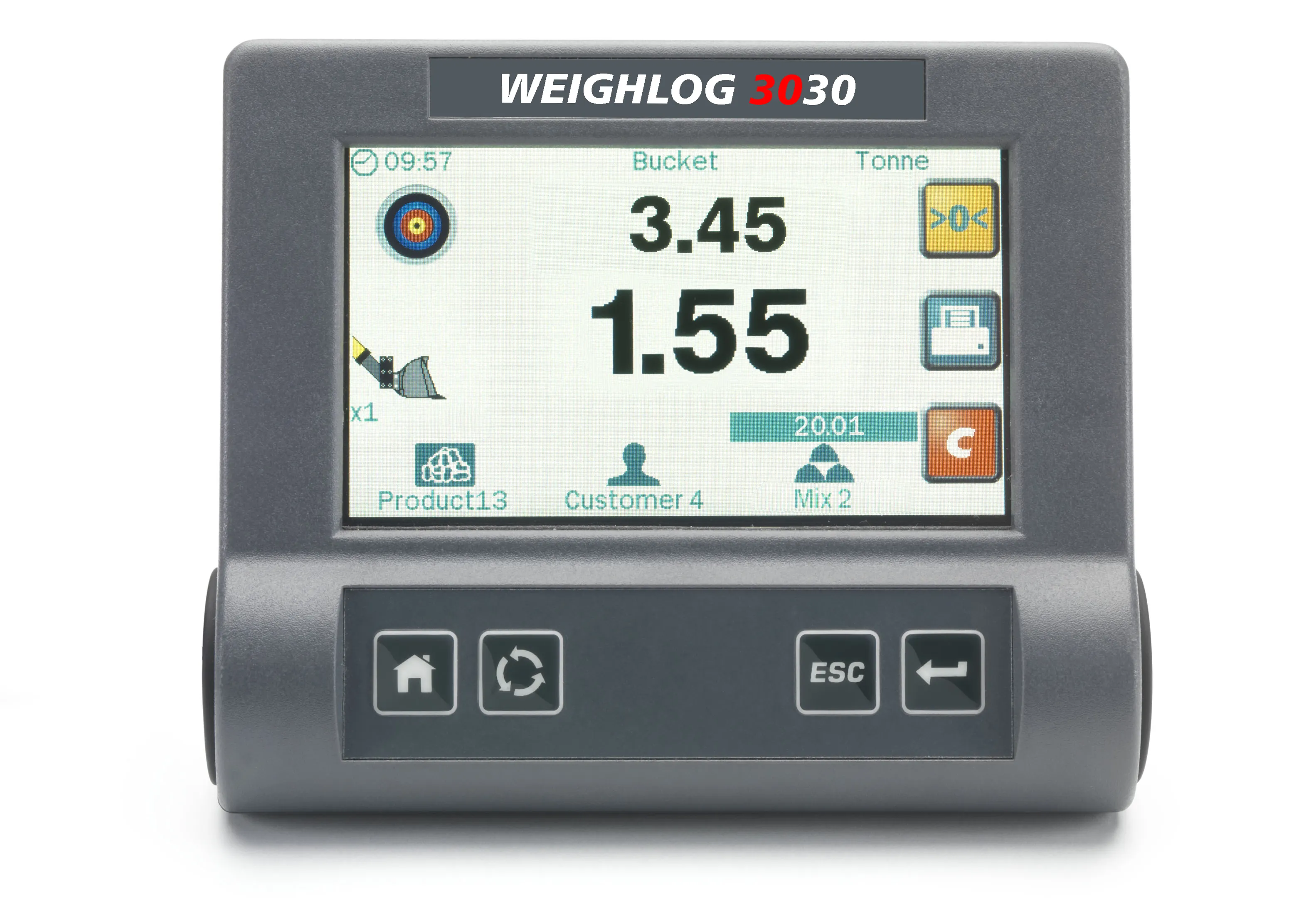
    Sophisticated on-board weighing systems for use with wheeled loaders and excavators are being offered by Loup Electronics. The innovative LOADEX 100 is a retrofittable scale installed on tracked and wheeled excavators and material handlers to weigh the amount of material load in the bucket or grab. Pressure signals are captured, filtered and corrected by measuring the angle of the main boom using either an RDS Inclinometer or Mechanical Angle sensor. When used dynamically, the pressures are captured through
  • Fugro quality assurance for Chinese roads using data collection
    September 11, 2014
    Fugro Roadware has supplied a sophisticated ARAN 9000 pavement management data collection vehicle to the Jiangsu Transportation Research Institute Group (JSTRI) in China. JSTRI has provided research consulting services to the Chinese transportation industry since 1978. The ARAN 9000 will be a key technological asset for JSTRI by providing their research team with a system capable of collecting detailed data at posted highway speeds.
  • Q-Free solution for Glasgow
    October 27, 2021
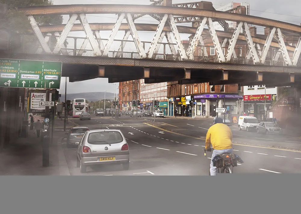
    Q-Free has won a four-year deal to set up its HI-TRAC CMU bicycle detection system including activated warning signs at 16 locations in Glasgow, Scotland.
  • Transtec launches Veta 6 software
    July 22, 2020
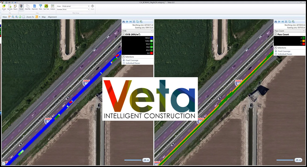
    Veta 6 enhances usability and expands features included with previous versions.