Mapping effectively with vehicle-based imaging

Yotta is offering an innovative vehicle-based imaging service that will provide accurate high-resolution panoramic street-level views of highway features. The vehicle is equipped with a 60 megapixel panoramic camera developed by Yotta and uses Applanix satellite positioning technology to log the exact location of each image. The vehicle cam improves street-level mapping operations with accurate 3D images of buildings and other highway features, such as signs, trees, barriers and fences. Called Y360, the veh
July 23, 2012 Read time: 2 mins
5153 Yotta DCL is offering an innovative vehicle-based imaging service that will provide accurate high-resolution panoramic street-level views of highway features. The vehicle is equipped with a 60 megapixel panoramic camera developed by Yotta and uses Applanix satellite positioning technology to log the exact location of each image. The vehicle cam improves street-level mapping operations with accurate 3D images of buildings and other highway features, such as signs, trees, barriers and fences. Called Y360, the vehicle's digital camera captures images every 2m, with the position calculated by combining GPS, inertial and optical tracking systems. These images are processed by Yotta software that gives the precise position and detailed information for each feature captured by the camera. According to the firm, Y360 offers a huge step forward in technology. The vehicle is being used for an array of applications including highway asset collection for local authorities, highways agencies and their contractors, and 3D mapping for utility companies.

For more information on companies in this article

Related Content

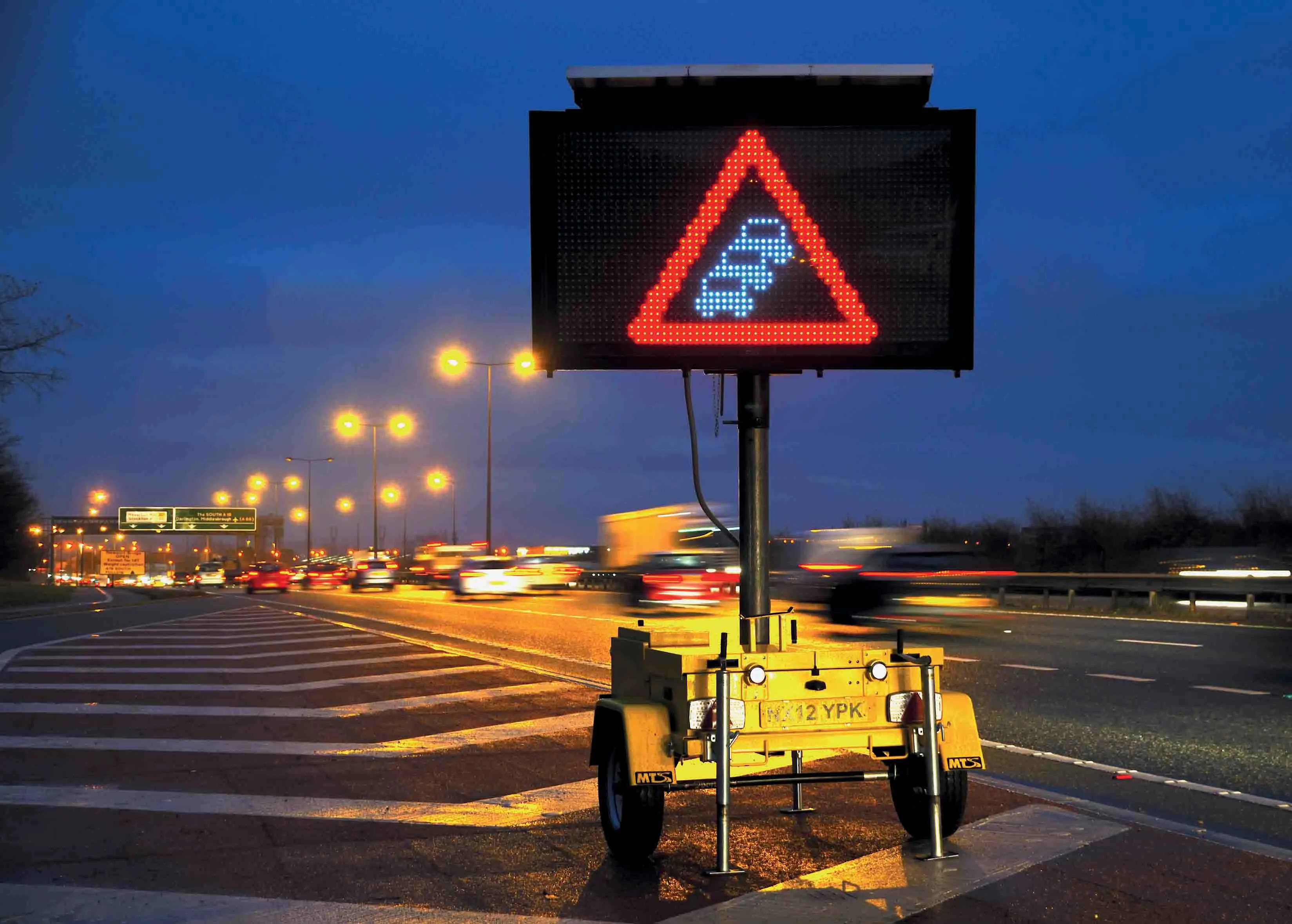
  • Widening works: road user’s nightmare or operator’s challenge?
    March 14, 2017
    Early - and continuous planning - is essential for successful road widening projects. By Nina Sacagiu, project manager, and Laurent Charles-Nicolas, project director, at Egis. Keeping goods and people moving safely is the primary objective of any transport authority across the world. Delivering this objective on motorways and making the most out of network capacity requires all the resources, skills and ingenuity of those in charge of managing the infrastructure. When the network can no longer cope wit
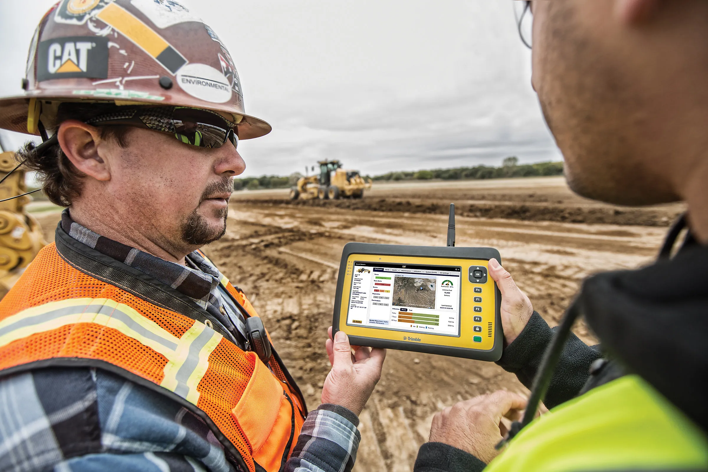
  • Caterpillar develops advances telematics technology to track machine performance
    February 24, 2017
    Caterpillar is launching new Cat Connect hardware and software to enable equipment managers to connect all of their assets—from the largest earthmover to the smallest generator, and including both light and heavy-duty trucks and utility vehicles. New Cat Product Link technologies connect any brand and type of equipment, powered or non-powered, and all report through a single system, VisionLink. The new technologies are said to offer multiple communications channels—cellular, satellite and Bluetooth—to b
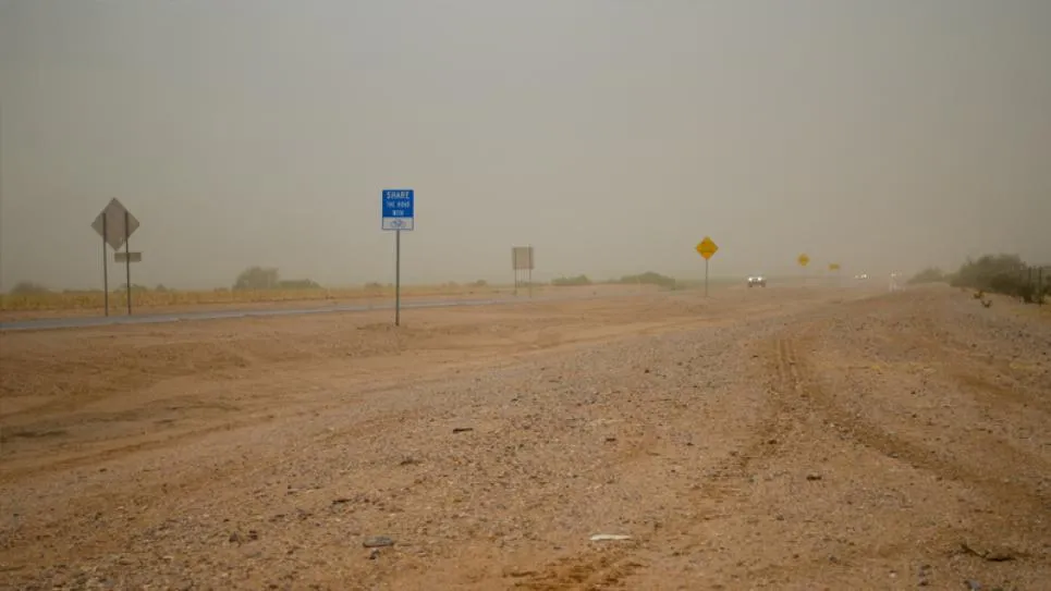
  • Vaisala visibility sensors for Arizona
    April 3, 2023
    The Arizona Department of Transportation created an automated speed limit system based upon Vaisala’s PWD visibility sensors — a first in the US, says the manufacturer.
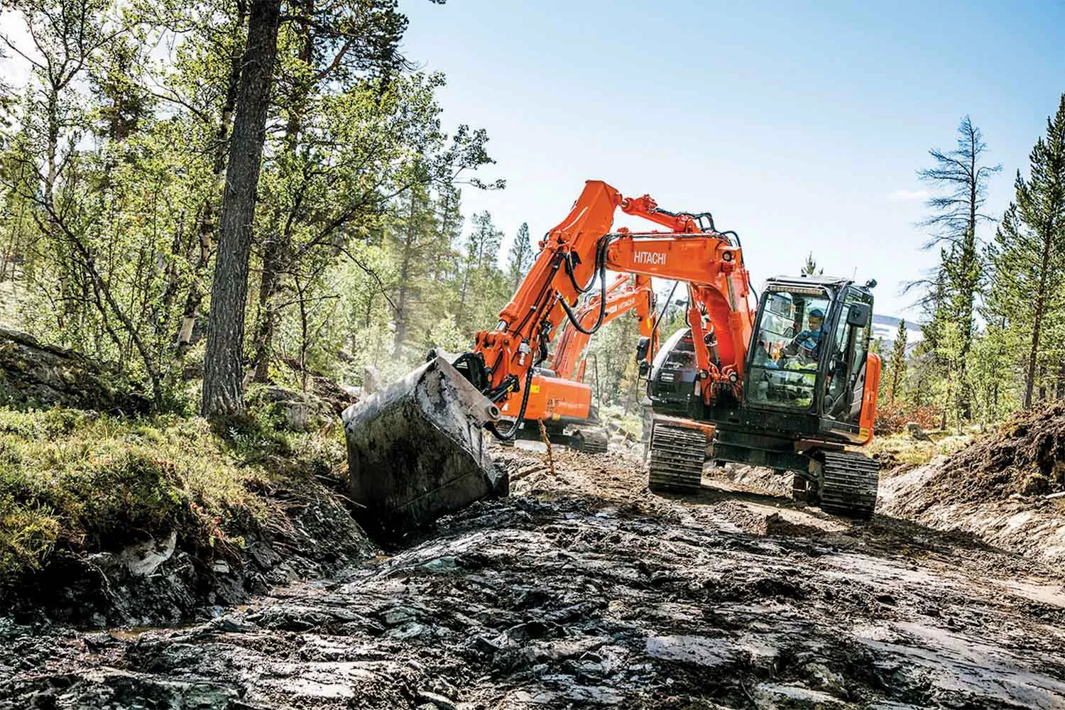
  • Hitachi ZX135US-5 and ZX210LC-5 excavators work in Sjodalen valley
    July 7, 2016
    Norwegian contractor Skogen has started building a service road for a log-cabin development in Norway’s Sjodalen valley. More than 90 of the 120m2 cabins are being constructed to order and the project is scheduled to be completed within the next 12 months. The Vågå-based company was set up in 1982 by owner Ola Skogen and is firmly focused on general construction activities including groundworks and roads, as well as foundations, drainage and utilities for log cabins. The contractor’s medium excavat