Leica Geosystems’ tools for site monitoring and handling GPR data

Leica Geosystems is offering new tools for construction firms for remote monitoring and for handling data from ground penetrating radar. With the GeoMoS Imaging package, users can stay up-to-date on remote monitoring; the live view allows observation and recording of areas of interest. A joystick provides remote access to the total station so that personnel can increase productivity and reduce time in the field.
October 11, 2017 Read time: 2 mins
265 Leica Geosystems is offering new tools for construction firms for remote monitoring and for handling data from ground penetrating radar.


With the GeoMoS Imaging package, users can stay up-to-date on remote monitoring; the live view allows observation and recording of areas of interest. A joystick provides remote access to the total station so that personnel can increase productivity and reduce time in the field.

The GeoMoS Imaging system offers automated visual inspection and enables remote observation of the site, maximising user output. With the live stream camera and the availability of repeated recorded images, users can obtain a better understanding of a project.

An automatic monitoring cycle combines monitoring data with images. Professionals can export detailed reports to observe changes of ageing infrastructure that allow for better planning.    

For large- or small-scale projects where environmental monitoring is key for safety, GeoMoS Imaging provides solutions designed for harsh and hazardous conditions.

Meanwhile the firm is also offering new utility post-processing software that delivers CAD drawings in less time. The firm says that its DX Office Vision package allows inexperienced CAD users to digitally map detected underground utilities. This utilises ground penetrating radar (GPR) data from the field in a CAD drawing. Users can obtain professional 3D CAD drawings and visualise the detected underground utilities. With DX Office Vision, post-processing for all ground penetrating data requires no add-on or third party software. The package is said to help reduce post-processing time and eliminate steps when converting data or choosing parameters. The software guides the user to create a reliable 3D map of the underground-detected utilities with minimal training.

For more information on companies in this article

Related Content

  • Bentley Systems boosting business with acquisition
    February 11, 2015
    Construction software specialist Bentley Systems continues to develop its portfolio of solutions with yet another acquisition. The company is growing both organically and through acquisition, this time buying up the French firm Acute3D, provider of Smart3DCapture software for reality modelling. Through reality modelling, observations of existing conditions can be processed into representations for contextual alignment within design modelling and construction modelling environments. According to Bentley, rap
  • Leica launch next generation machine control receiver
    January 6, 2017
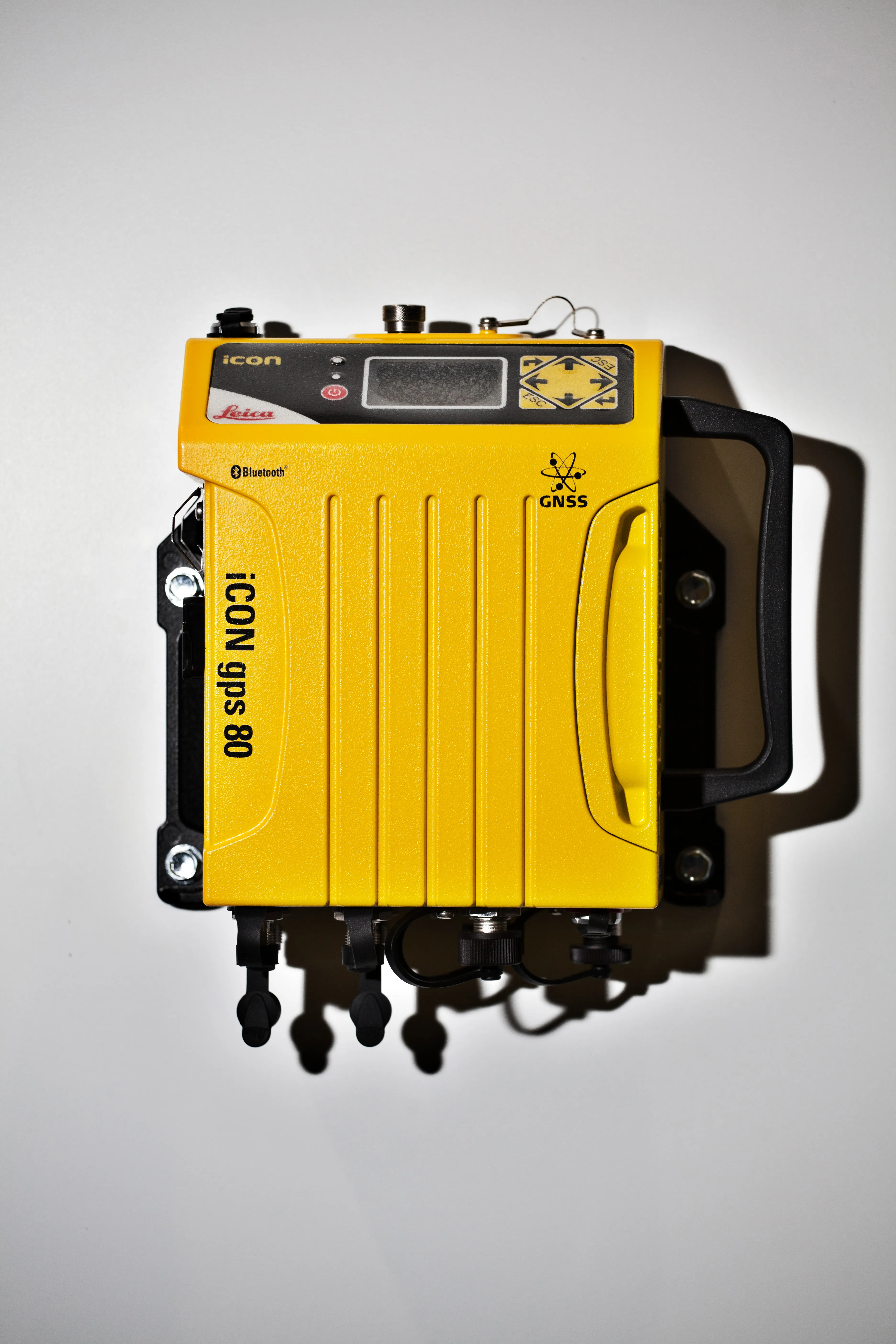
    The Leica iCON gps 80 machine control receiver is a compact and rugged GNSS receiver especially developed for a wide range of machine control applications to increase the overall positioning performance on all construction equipment. It easily and safely fits into any construction machine cabin, communicates seamlessly with all iCONtrol solutions on-site and integrates the iCON telematics fleet management software. The flexible communication provides smooth integration with equipment and solutions for OEM p
  • Leica launch next generation machine control receiver
    March 6, 2014
    The Leica iCON gps 80 machine control receiver is a compact and rugged GNSS receiver especially developed for a wide range of machine control applications to increase the overall positioning performance on all construction equipment. It easily and safely fits into any construction machine cabin, communicates seamlessly with all iCONtrol solutions on-site and integrates the iCON telematics fleet management software. The flexible communication provides smooth integration with equipment and solutions for OEM p
  • Intelligent paving tool from BOMAG
    April 9, 2025

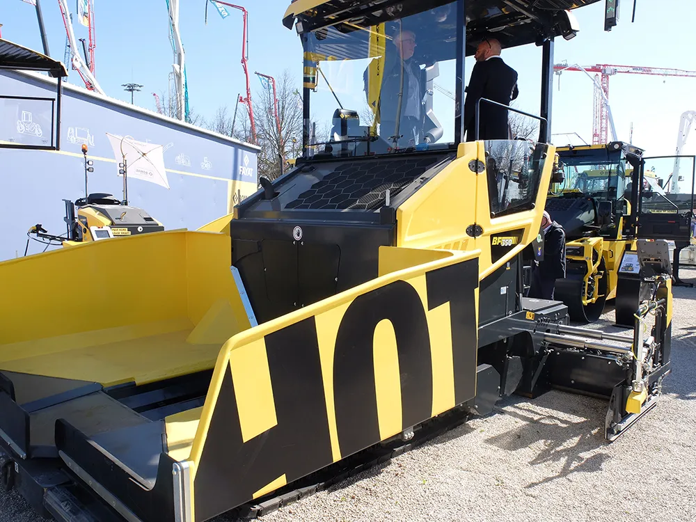
    The innovative BOMAP Pave solution offers connected construction capabilities for paving works. BOMAG’s new system allows networking of pavers and rollers, boosting efficiency and quality in asphalt paving jobs.

    Pavers and asphalt rollers can be connected within an open, manufacturer-independent system. This allows control of the paving process from asphalt delivery to compaction. It provides users with full transparency in real time, reducing coordination effort and sustainably improving site processes.