Leica Geosystems’ tools for site monitoring and handling GPR data

Leica Geosystems is offering new tools for construction firms for remote monitoring and for handling data from ground penetrating radar. With the GeoMoS Imaging package, users can stay up-to-date on remote monitoring; the live view allows observation and recording of areas of interest. A joystick provides remote access to the total station so that personnel can increase productivity and reduce time in the field.
October 11, 2017 Read time: 2 mins
265 Leica Geosystems is offering new tools for construction firms for remote monitoring and for handling data from ground penetrating radar.


With the GeoMoS Imaging package, users can stay up-to-date on remote monitoring; the live view allows observation and recording of areas of interest. A joystick provides remote access to the total station so that personnel can increase productivity and reduce time in the field.

The GeoMoS Imaging system offers automated visual inspection and enables remote observation of the site, maximising user output. With the live stream camera and the availability of repeated recorded images, users can obtain a better understanding of a project.

An automatic monitoring cycle combines monitoring data with images. Professionals can export detailed reports to observe changes of ageing infrastructure that allow for better planning.    

For large- or small-scale projects where environmental monitoring is key for safety, GeoMoS Imaging provides solutions designed for harsh and hazardous conditions.

Meanwhile the firm is also offering new utility post-processing software that delivers CAD drawings in less time. The firm says that its DX Office Vision package allows inexperienced CAD users to digitally map detected underground utilities. This utilises ground penetrating radar (GPR) data from the field in a CAD drawing. Users can obtain professional 3D CAD drawings and visualise the detected underground utilities. With DX Office Vision, post-processing for all ground penetrating data requires no add-on or third party software. The package is said to help reduce post-processing time and eliminate steps when converting data or choosing parameters. The software guides the user to create a reliable 3D map of the underground-detected utilities with minimal training.

For more information on companies in this article

Related Content

  • Road user subscriptions will fund the road ecosystems of the future says ERF Lab
    December 14, 2018
    The highway of the future will not be a physical asset created and maintained by the construction industry … it will increasingly be seen as part of an emerging global services sector. “Every day we hear about Mobility as a Service (MaaS), but what about Roads as a Service?” says Christophe Nicodème, general director of the European Union Road Federation (ERF). “The role of the road is changing. We need to think much more carefully about planning (highway) infrastructure in terms of people’s needs. We must
  • Winter maintenance challenge
    February 29, 2012
    Many countries had their most severe winter for years, but it could have been much worse without the right equipment and technology as Patrick Smith reports. As many countries faced up to the 2010-2011 winter, hard-pressed maintenance teams did their best to keep things moving on the roads. With some of the lowest temperatures and heaviest snowfalls on record, the UK, Republic of Ireland, Switzerland, France, Scandinavia, Germany, and Belgium were among those affected. Russia, eastern Europe and the USA did
  • The UK Highways Agency engages Fugro for Doppler laser surveying
    January 6, 2015
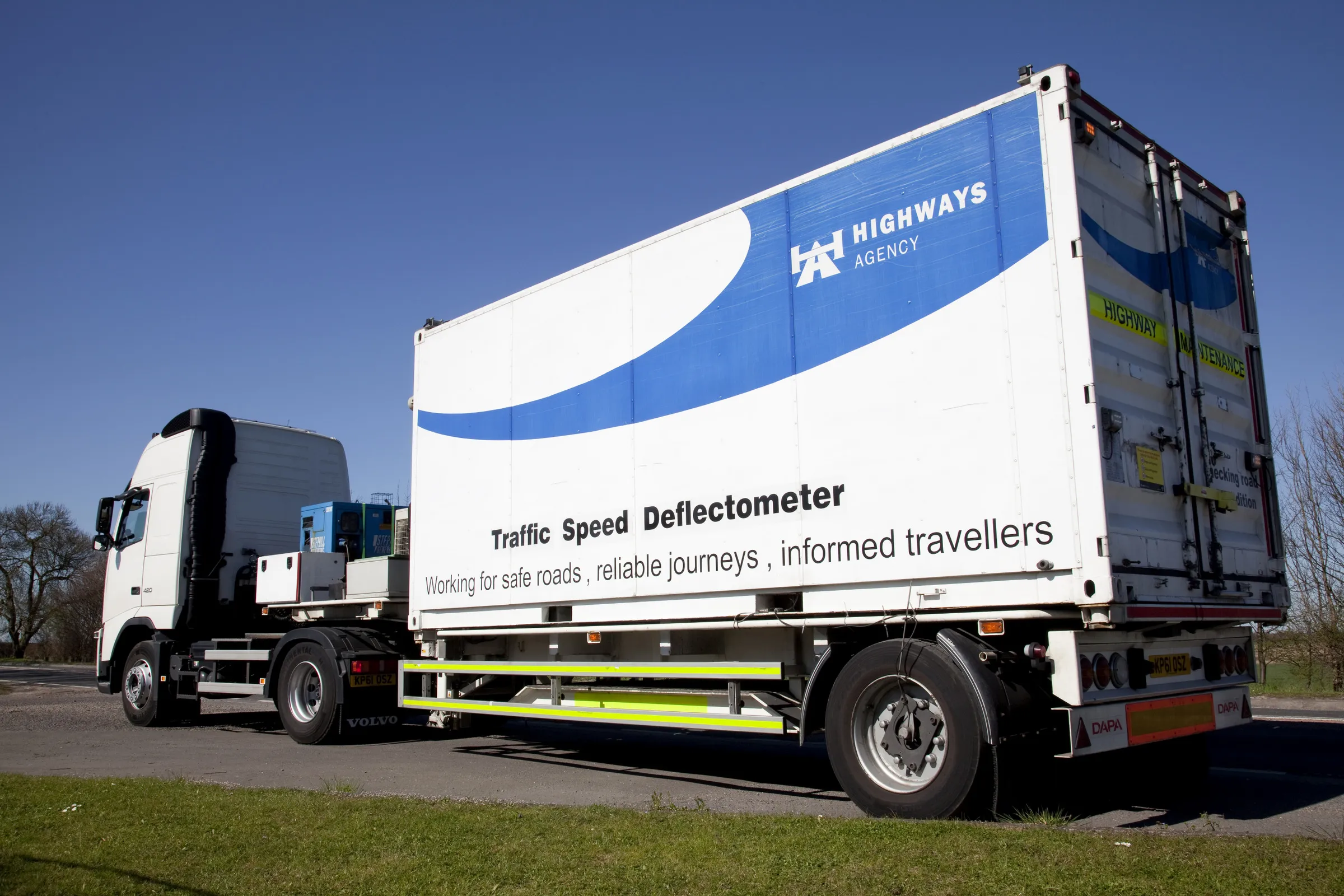
    The United Kingdom’s Highways Agency has awarded its first commercial contract to survey thousands of road lanes using sophisticated Doppler laser equipment. Fugro is driving the project forward, reports David Arminas The Highways Agency Traffic Speed Defelectometer vehicle looks like an ordinary flatbed truck delivering a similarly ordinary steel shipping container. But looks are deceiving. Inside the container is a sophisticated Doppler laser measuring system collecting pavement condition data of the U