Leica Geosystems’ tools for site monitoring and handling GPR data

Leica Geosystems is offering new tools for construction firms for remote monitoring and for handling data from ground penetrating radar. With the GeoMoS Imaging package, users can stay up-to-date on remote monitoring; the live view allows observation and recording of areas of interest. A joystick provides remote access to the total station so that personnel can increase productivity and reduce time in the field.
October 11, 2017 Read time: 2 mins
265 Leica Geosystems is offering new tools for construction firms for remote monitoring and for handling data from ground penetrating radar.


With the GeoMoS Imaging package, users can stay up-to-date on remote monitoring; the live view allows observation and recording of areas of interest. A joystick provides remote access to the total station so that personnel can increase productivity and reduce time in the field.

The GeoMoS Imaging system offers automated visual inspection and enables remote observation of the site, maximising user output. With the live stream camera and the availability of repeated recorded images, users can obtain a better understanding of a project.

An automatic monitoring cycle combines monitoring data with images. Professionals can export detailed reports to observe changes of ageing infrastructure that allow for better planning.    

For large- or small-scale projects where environmental monitoring is key for safety, GeoMoS Imaging provides solutions designed for harsh and hazardous conditions.

Meanwhile the firm is also offering new utility post-processing software that delivers CAD drawings in less time. The firm says that its DX Office Vision package allows inexperienced CAD users to digitally map detected underground utilities. This utilises ground penetrating radar (GPR) data from the field in a CAD drawing. Users can obtain professional 3D CAD drawings and visualise the detected underground utilities. With DX Office Vision, post-processing for all ground penetrating data requires no add-on or third party software. The package is said to help reduce post-processing time and eliminate steps when converting data or choosing parameters. The software guides the user to create a reliable 3D map of the underground-detected utilities with minimal training.

For more information on companies in this article

Related Content

  • Texas certification of RetroTek-MU operator a first
    July 27, 2018
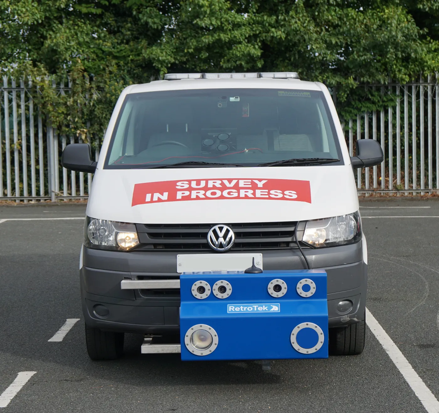
    Striping Service and Supply is the first US contractor certified by the Texas Department of Transportation to operate the RetroTek-MU road striping Retroreflectometer. The Texas A&M Transportation Institute stringent certification programme provides a quantitative basis for evaluating the ability of a contractor to operate the RetroTek-MU retroreflectometer. The vehicle-mounted RetroTek-MU - manufactured by Reflective Measurement Systems, based in Dublin, Ireland - measures the retroreflectivity of lo
  • SICK’s Free Flow Profiler scans vehicles on the move
    August 27, 2019
    SICK has launched the Free Flow Profiler vehicle measurement system that enables highly accurate 3D profiling of vehicles across multiple lanes in free-flow traffic The company says that the Free Flow Profiler is a “versatile and adaptable” all-weather system. It is “ideal for vehicle tolling and classification uses, especially useful in operations such as optimal weight loading of ferries or trains and for verifying vehicle dimensions to maximise revenue recovery”. During multilane, free road movem
  • Transtone revolutionises quarry operations with Connected Map and Performance Indicator
    September 1, 2024
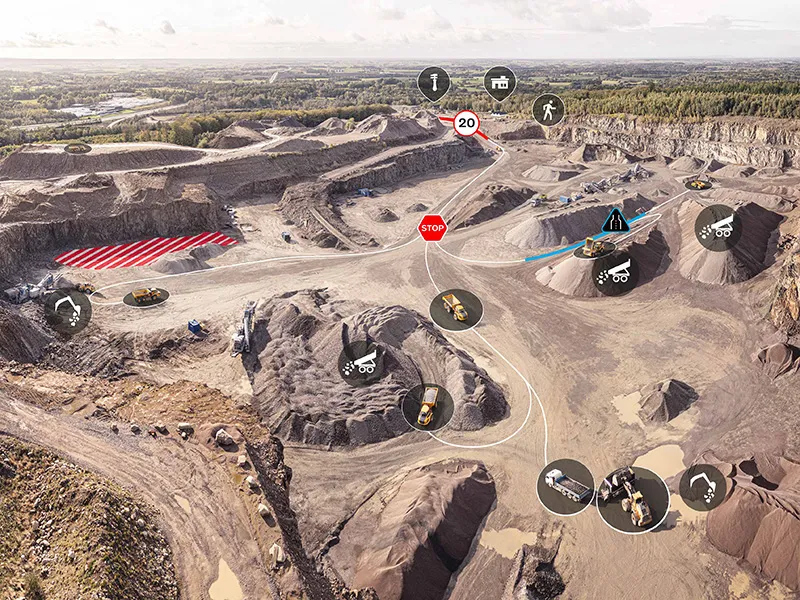
    Digital tools have the potential to reshape construction, helping customers to run more efficient, productive, safe and sustainable operations. Transtone SA, a valued customer of Volvo Construction Equipment (Volvo CE) based in Belgium, has transformed its operations with Volvo CE’s productivity services, Connected Map and Performance Indicator.
  • Bentley is boosting its business operations with new acquisition
    March 13, 2015
    Software specialist Bentley Systems continues to develop its spread of technology solutions for the construction sector. Its latest acquisition is of the California-based provider of construction management cloud services, EADOC. This is being added into Bentley’s MANAGEservices portfolio and will help managers at engineering and construction management firms or infrastructure owners with capital projects to reduce risk and staff hours. It will also help improve information quality, and provide owners with