Innovation for mapping utilities

Gaist is offering a mapping solution it believes could boost efficiency for the utilities market
February 13, 2020 Read time: 2 mins
Accurate mapping of utilities can be achieved with the new package from Gaist

This novel infrastructure digital twin tool is now being offered to the utilities market. The package can cut the cost and time of construction works and can increase efficiency by 10% at 0.01% of the project cost.

Gaist covers over 341,500km of the UK’s roads and pathways with more than a billion high-definition images. The firm says that this offers a complete and precise view of the highway network. Planners and engineers can explore the network from their desktop, enabling them to make cost-effective and informed decisions when planning and carrying out projects on roads.

This solution is said to add value to utility providers by identifying surface types and the accurate location of utility assets, as well as providing the ability to measure, which allows for accurate budgeting, planning design and delivery. The package allows providers to get it right first time. The data can also aid on-site inductions and briefings, mitigate health and safety risks and reduce costs through negating the need for on-site surveys.

Additionally, Gaist can provide complementary and value-added services such as ground-penetrating radar, traffic management, exact location of services and rod and rope duct proofing. The tool answers questions such as to what is needed to prepare for planned maintenance, or what percentage of roads are ready for fibre.

For more information on companies in this article

Related Content

  • India’s new expressway link
    April 12, 2021
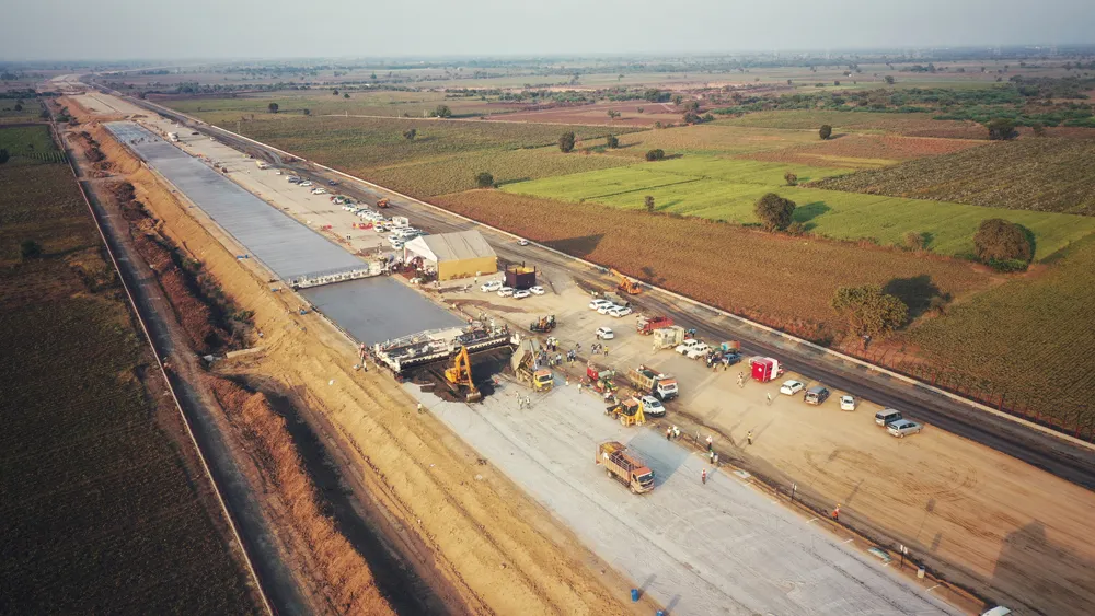
    Accelerated road construction methods are being used to build an expressway link in India, setting records along the way
  • Great Eastern Bypass Interchanges Improve Safety, Connectivity, and Travel Times in Perth’s Eastern Metropolitan Regions
    June 27, 2023

    Located in eastern Perth, the Great Eastern Highway Bypass Interchanges project aims to upgrade two major interchanges at Roe Highway and Abernathy Road, which have become increasingly congested and caused significant delays for travelers. The AUD 380 million project will replace the current signalized intersections used by 60,000 motorists daily with two grade-separated interchanges.

  • What happens when you run out of land for roads?
    November 1, 2021
    Mumbai, the financial capital of India has a population of 12.4 million located in a small area of 437sq.km, surrounded by the sea with nowhere to expand. An increase in congestion on Mumbai’s roads has put a strain on the city’s infrastructure. The result has been long commute times with idling cars contributing to an alarming rise in poor air quality, impacting the quality of life for residents
  • Boost to infrastructure, autonomous cars in UK budget
    March 17, 2016
    The UK chancellor announced in his spring budget what he called the biggest investment, US$87.5 billion (£61 billion), in transport infrastructure in generations and is increasing capital investment in the transport network by 50 per cent over this Parliament compared to the last. The government plans to establish the UK as a global centre for excellence in connected and autonomous vehicles by establishing a US$24.1 million (£15 million) ‘connected corridor’ from London to Dover to enable vehicles to com