Innovation for mapping utilities

Gaist is offering a mapping solution it believes could boost efficiency for the utilities market
February 13, 2020 Read time: 2 mins
Accurate mapping of utilities can be achieved with the new package from Gaist

This novel infrastructure digital twin tool is now being offered to the utilities market. The package can cut the cost and time of construction works and can increase efficiency by 10% at 0.01% of the project cost.

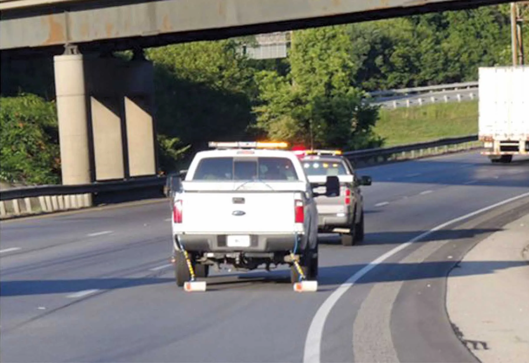
Gaist covers over 341,500km of the UK’s roads and pathways with more than a billion high-definition images. The firm says that this offers a complete and precise view of the highway network. Planners and engineers can explore the network from their desktop, enabling them to make cost-effective and informed decisions when planning and carrying out projects on roads.

This solution is said to add value to utility providers by identifying surface types and the accurate location of utility assets, as well as providing the ability to measure, which allows for accurate budgeting, planning design and delivery. The package allows providers to get it right first time. The data can also aid on-site inductions and briefings, mitigate health and safety risks and reduce costs through negating the need for on-site surveys.

Additionally, Gaist can provide complementary and value-added services such as ground-penetrating radar, traffic management, exact location of services and rod and rope duct proofing. The tool answers questions such as to what is needed to prepare for planned maintenance, or what percentage of roads are ready for fibre.

For more information on companies in this article

Related Content

  • Trimble is launching new machine control technology
    November 9, 2016
    Trimble is introducing a range of new technology options for customers that will boost working efficiency across a range of duties. The firm has also scored a major deal with one of China’s largest equipment manufacturers, XCMG.
  • Ground penetrating radar used to investigate tunnel deterioration
    May 13, 2015
    Using ground penetrating radar to determine reason for serious pavement settling in Kentucky-Tennessee tunnel Just a few years after the opening of the Cumberland Gap Tunnel, highway officials noticed moderate to severe settling of the continuously reinforced concrete pavement. The mountain tunnel provides an important link between Kentucky and Tennessee along US25E and the problem looked serious, with many voids discovered beneath the pavement surface. To investigate the problems, the Kentucky Transpor
  • BOMAG’s smart asphalt compaction technology in use
    May 25, 2016
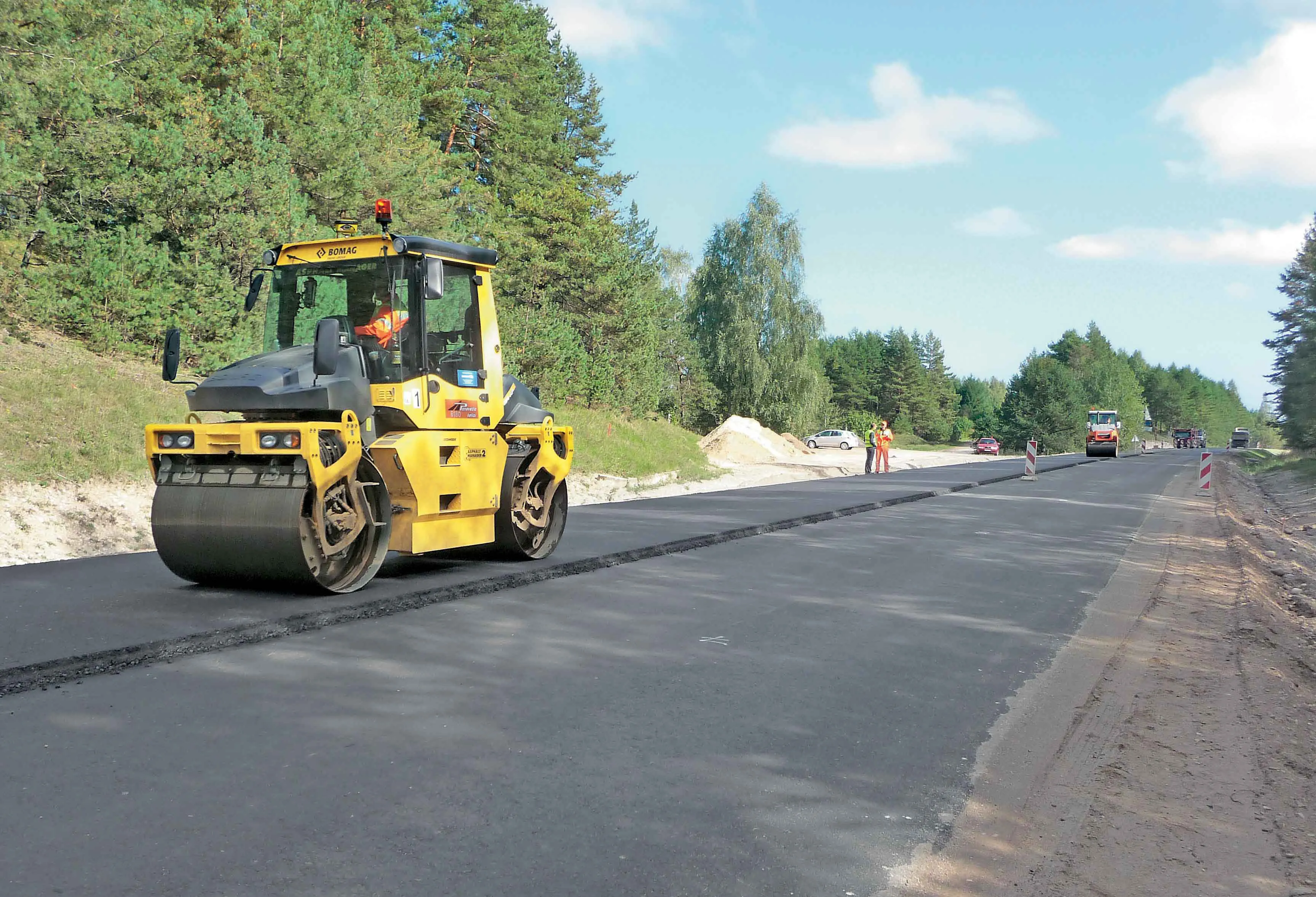
    BOMAG’s highly sophisticated compaction control technology is now being used successfully on the highway project to link Warsaw with St Petersburg. The system is being employed in the rural area around the border triangle of Lithuania, Latvia and Belarus. Lithuanian road contractor Panevezio Keliai won the package of works to upgrade a stretch of the E262 in Zarasai. The project requires high quality as the E262 route links Warsaw with St Petersburg and carries a large volume of traffic, including a hig
  • The worksite of the (near) future
    February 1, 2021
    Innovations will impact efficiency and productivity in worksites of the future