Innovation for mapping utilities

Gaist is offering a mapping solution it believes could boost efficiency for the utilities market
February 13, 2020 Read time: 2 mins
Accurate mapping of utilities can be achieved with the new package from Gaist

This novel infrastructure digital twin tool is now being offered to the utilities market. The package can cut the cost and time of construction works and can increase efficiency by 10% at 0.01% of the project cost.

Gaist covers over 341,500km of the UK’s roads and pathways with more than a billion high-definition images. The firm says that this offers a complete and precise view of the highway network. Planners and engineers can explore the network from their desktop, enabling them to make cost-effective and informed decisions when planning and carrying out projects on roads.

This solution is said to add value to utility providers by identifying surface types and the accurate location of utility assets, as well as providing the ability to measure, which allows for accurate budgeting, planning design and delivery. The package allows providers to get it right first time. The data can also aid on-site inductions and briefings, mitigate health and safety risks and reduce costs through negating the need for on-site surveys.

Additionally, Gaist can provide complementary and value-added services such as ground-penetrating radar, traffic management, exact location of services and rod and rope duct proofing. The tool answers questions such as to what is needed to prepare for planned maintenance, or what percentage of roads are ready for fibre.

For more information on companies in this article

Related Content

  • PTV’s novel traffic analysis system
    April 25, 2013
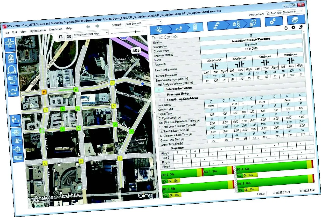
    German traffic analysis consultant and software maker PTV, which produces the well-known Visum and Vissim strategic traffic analysis and micro-simulation tools, has launched a new assessment tool aimed at studying traffic impact of new developments. PTV Vistro is claimed to be the first all-in­ one-solution for transport analysis and signal optimisation, an easy-to-use software that can be used to conduct traffic studies which are often a mandatory part of development applications and planning approvals.
  • Innovations are pushing boundaries in the concrete road paving sector
    February 18, 2013
    The concrete road paving market continues to develop - Mike Woof reports Concrete road paving technology continues to evolve, with new equipment and techniques coming to market. Although concrete road construction has been used for many years, problems with early generation technologies affected this market segment. The first concrete roads were constructed in sections, which led to problems at joints but these were addressed many years ago with the advent of slipform paving. Concrete roads constructed in t
  • Yotta offers efficient winter maintenance
    August 18, 2015
    Yotta has developed sophisticated tools for winter highway maintenance. This technology can help local authorities to make better use of the Horizons visualised asset management software to assess potential winter maintenance works. The system provides a proactive approach that allows highways departments to address assets that are at risk from rain, snow and ice. The firm claims that this can help highways departments to deal with wet and icy conditions. Winter road damage is a great concern to Coun
  • Sophisticated paving technology
    March 22, 2021
    Trimble is introducing its sophisticated Roadworks 3D Paving Control Platform for Asphalt Pavers.