Information integration

The sophisticated Leica MobileMatriX 4.1 package provides a key tool for integrating the new Leica Viva Total Stations with other technologies. Highly sophisticated, the Leica MobileMatriX package is said to be the most advanced solution available for mobile GIS applications. The system can be used in combination with GNSS, Total Stations, Level, Digital Cameras, and Laser Range Finders (LRF). Using the imaging support of the new TS15 and TS11, users of the Leica MobileMatriX package can take an image with
February 17, 2012 Read time: 1 min
The sophisticated 265 Leica MobileMatriX 4.1 package provides a key tool for integrating the new Leica Viva Total Stations with other technologies. Highly sophisticated, the Leica MobileMatriX package is said to be the most advanced solution available for mobile GIS applications. The system can be used in combination with GNSS, Total Stations, Level, Digital Cameras, and Laser Range Finders (LRF). Using the imaging support of the new TS15 and TS11, users of the Leica MobileMatriX package can take an image with a Total Station and store it directly in a GIS database. Image assisted documentation enables users to supplement GIS archives with on-site information. In addition, the Leica MobileMatriX v4.1 can be operated with the latest Leica Viva GNSS receivers as well as having the capability to import RINEX data.

For more information on companies in this article

Related Content

  • BOMAG’s new asphalt paver range
    November 26, 2021
    Road construction machinery specialist BOMAG is introducing a new asphalt paver range. In addition, the company is also launching its BOMAG Advanced Pave system, which is said to be a digital co-pilot package
  • Foth Uses Collaborative Digital Engineering to Deliver Road Infrastructure Project
    June 1, 2020
    Foth utilised software from Bentley Systems to improve safety and traffic flow on an urban road stretch in Iowa.
  • Topcon’s LN-100 3D positioning system
    May 13, 2014
    Topcon Positioning Group says its new BIM solution - the LN-100 – is the world’s first 3D positioning system designed specifically for construction layout. Said to offer seamless integration and flow of project data from the design to the field, the LN-100 is simple to operate, removing “the intimidation factor and reducing the learning curve in performing construction layout tasks,” according to Eduardo Falcon, Topcon Positioning Group executive vice president and general manager for the GeoPositioning
  • Vögele is restructuring its asphalt paver range
    March 20, 2019
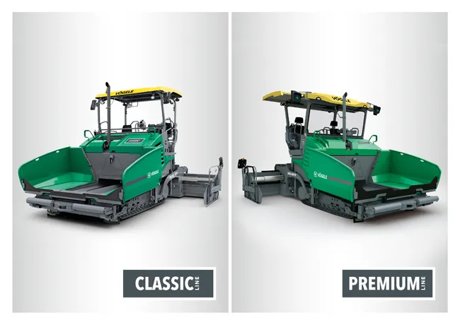
    Vögele is restructuring its extensive range of asphalt pavers and screeds The firm is now dividing its range into two separate ranges: the Premium Line and the Classic Line. In addition, the firm will also be subdividing its products into up to five classes within those lines. The new Classic Line is for pavers equipped with the firm’s own, easy-to-use, ErgoBasic operating concept. These machines benefit from solid construction and quality components and a basic range of operating features. However, thes