Information integration

The sophisticated Leica MobileMatriX 4.1 package provides a key tool for integrating the new Leica Viva Total Stations with other technologies. Highly sophisticated, the Leica MobileMatriX package is said to be the most advanced solution available for mobile GIS applications. The system can be used in combination with GNSS, Total Stations, Level, Digital Cameras, and Laser Range Finders (LRF). Using the imaging support of the new TS15 and TS11, users of the Leica MobileMatriX package can take an image with
February 17, 2012 Read time: 1 min
The sophisticated 265 Leica MobileMatriX 4.1 package provides a key tool for integrating the new Leica Viva Total Stations with other technologies. Highly sophisticated, the Leica MobileMatriX package is said to be the most advanced solution available for mobile GIS applications. The system can be used in combination with GNSS, Total Stations, Level, Digital Cameras, and Laser Range Finders (LRF). Using the imaging support of the new TS15 and TS11, users of the Leica MobileMatriX package can take an image with a Total Station and store it directly in a GIS database. Image assisted documentation enables users to supplement GIS archives with on-site information. In addition, the Leica MobileMatriX v4.1 can be operated with the latest Leica Viva GNSS receivers as well as having the capability to import RINEX data.

For more information on companies in this article

Related Content

  • Advanced asphalt plant innovations
    November 30, 2022
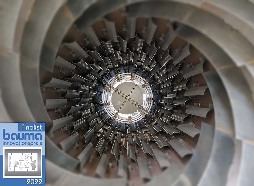
    Key advances are being seen in the asphalt plant market, with leading manufacturers developing new systems to produce materials more efficiently and with lower emissions, while using more recycled asphalt pavement (RAP) and also offering greater mobility
  • Swiss mini-motorways made bigger
    July 10, 2012
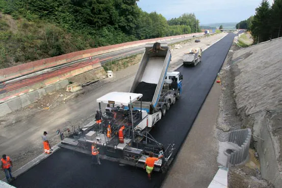
    Widening the busy A4 road in Switzerland to four lanes was achieved quickly by using the latest paving technology. Increased traffic required the widening of the A4 from two to four lanes along a 20km section, with two lanes separated by a central divider in each direction. Carrying 20,000-25,000 vehicles/day, the trunk road between Winterthur and Schaffhausen was one of Switzerland's busiest two-lane stretches, and as a result, the Federal Council of Switzerland in Bern planned an enlargement of the dual-l
  • Caterpillar's improved dozers with new Grade Control systems
    March 15, 2017
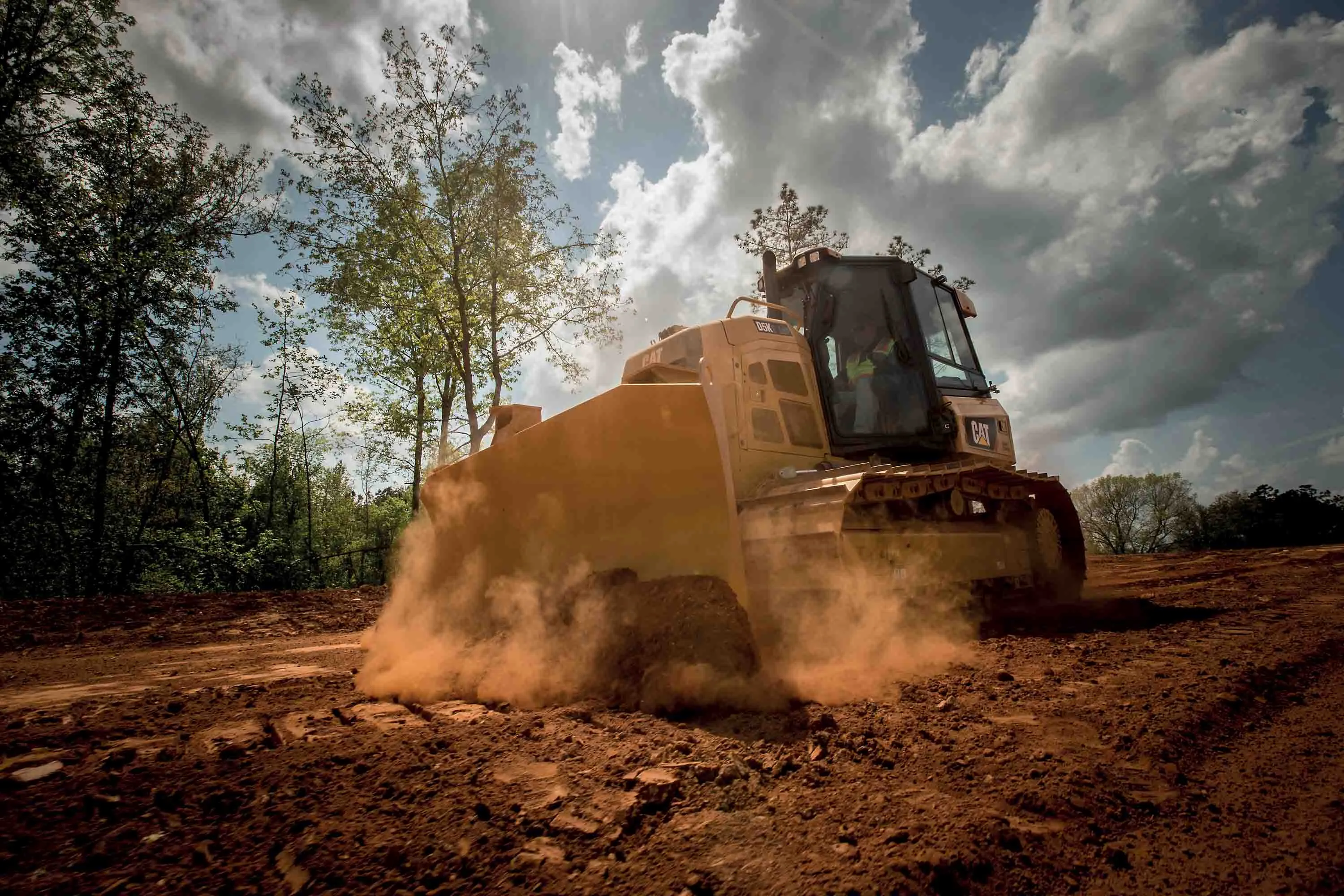
    Caterpillar is now offering its sophisticated 3D Cat Grade Control package on its smaller dozers, the D3K2, D4K2, and D5K2 models. This allows more efficient working along with higher accuracy and productivity, while lowering operating costs. The package has integrated roof-mounted antennas. The AccuGrade Ready Option is part of the package, allowing other Cat GRADE technologies to be used, such as AccuGrade Laser or a universal total station when satellite reception is limited. The system provides an
  • Topcon unveils FC-336 date controller
    March 27, 2014
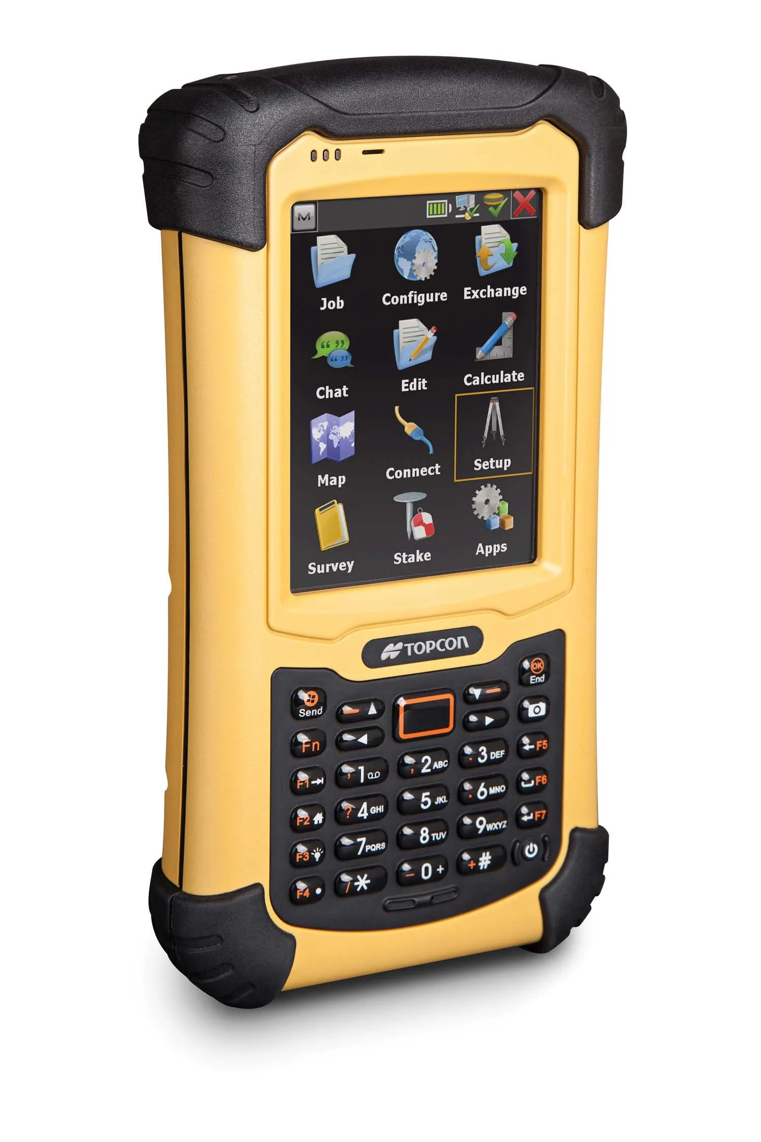
    Topcon has unveiled its new FC-336 data controller designed specifically for the construction industry. In addition to providing field crews with access to MAGNET Enterprise to send and receive data files, the new controller operates with Topcon MAGNET Field, Site and Layout software, as well as Topcon Pocket 3D. A compact and lightweight handheld controller, the FC-336 works with all Topcon GNSS receivers and total stations.