Information integration

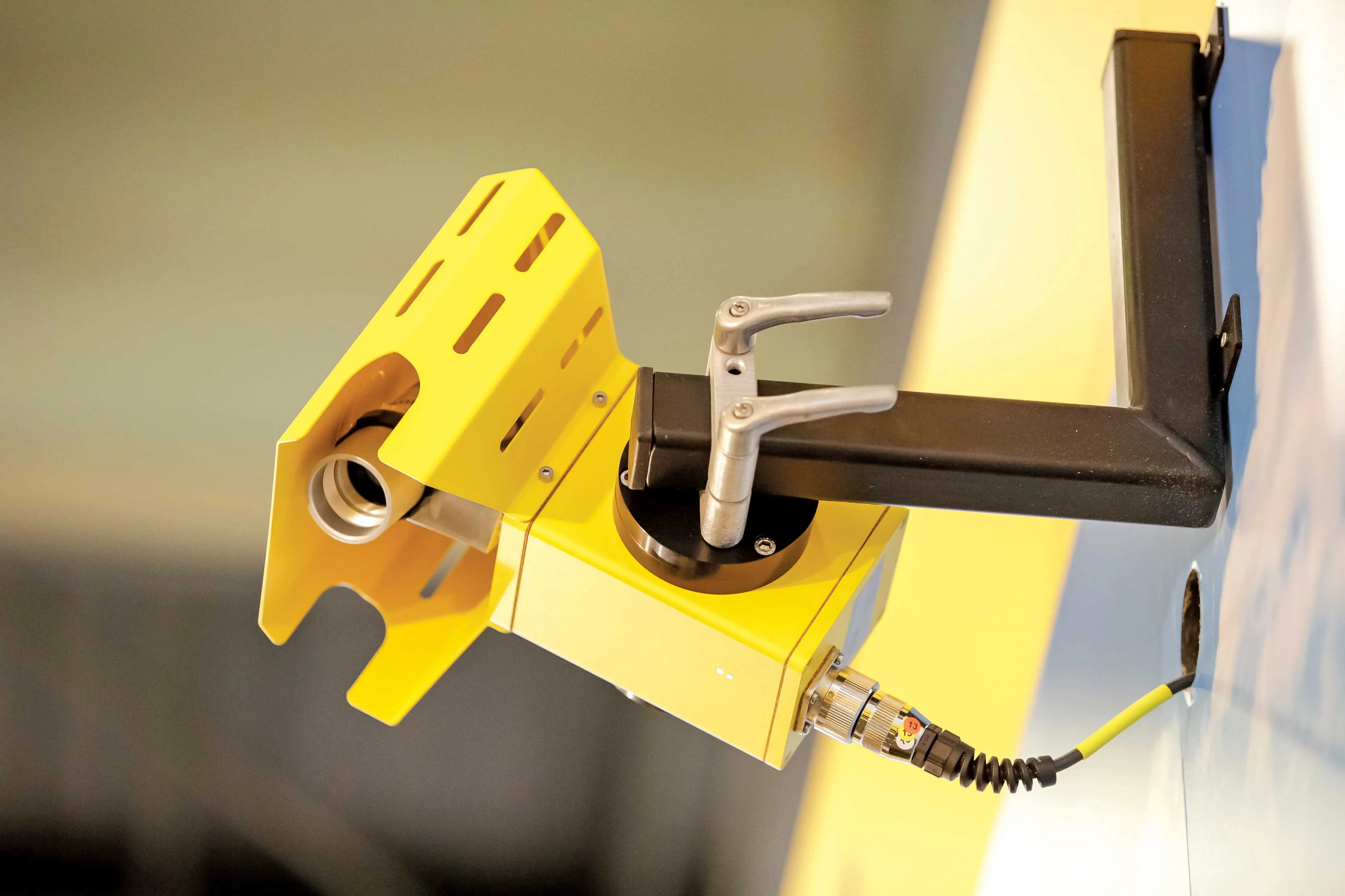
The sophisticated Leica MobileMatriX 4.1 package provides a key tool for integrating the new Leica Viva Total Stations with other technologies. Highly sophisticated, the Leica MobileMatriX package is said to be the most advanced solution available for mobile GIS applications. The system can be used in combination with GNSS, Total Stations, Level, Digital Cameras, and Laser Range Finders (LRF). Using the imaging support of the new TS15 and TS11, users of the Leica MobileMatriX package can take an image with
February 17, 2012 Read time: 1 min
The sophisticated 265 Leica MobileMatriX 4.1 package provides a key tool for integrating the new Leica Viva Total Stations with other technologies. Highly sophisticated, the Leica MobileMatriX package is said to be the most advanced solution available for mobile GIS applications. The system can be used in combination with GNSS, Total Stations, Level, Digital Cameras, and Laser Range Finders (LRF). Using the imaging support of the new TS15 and TS11, users of the Leica MobileMatriX package can take an image with a Total Station and store it directly in a GIS database. Image assisted documentation enables users to supplement GIS archives with on-site information. In addition, the Leica MobileMatriX v4.1 can be operated with the latest Leica Viva GNSS receivers as well as having the capability to import RINEX data.

For more information on companies in this article

Related Content

  • Asphalt pavers in focus at major shows
    June 23, 2015
    Major manufacturers have unveiled new paving machines at key events in the US and Europe in recent months - Mike Woof reports The recent World of Asphalt and Intermat exhibitions have seen the introduction of several new asphalt paving machines. Major manufacturers were present at both events, with several new models being unveiled. The focus on World of Asphalt, held in the US city of Baltimore, was understandably on pavers for the North American and Latin American markets. Meanwhile new pavers on show at
  • Danish digging for Leica Geosystems’ 3D machine control
    October 26, 2017
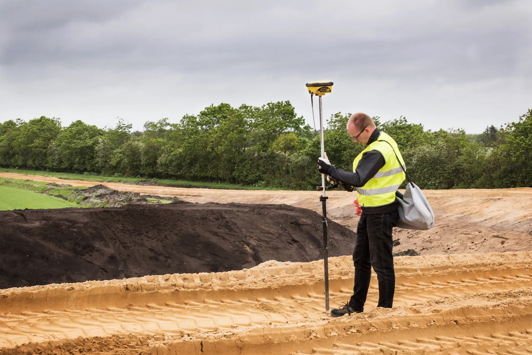
    In Denmark’s northern Jutland, Leica Geosystems’ equipment is being used to help build a 40km motorway, one of the fastest-built such projects in the country’s history. The Danish Road Directorate is the client for the €5.4 million motorway between the two Danish cities of Herning, to the south with around 50,000 people, and Holstebro, a city of about 35,000 people, north of Herning. Preliminary ground investigations were made in 2013 and work started in 2015 with completion set for 2018.
  • Premiere in the Black Forest
    October 5, 2023
    One of the steepest sections of the B 500, an important road in the southern Black Forest, had to be renewed in the summer of 2023 – more precisely: the first kilometres behind the Triberg town sign, past the famous waterfalls. Asphalt paving specialists from Gebrüder Bantle GmbH & Co. KG were commissioned to resurface the carriageway.
  • The GRSF: breaking down barriers
    December 17, 2020
    Improving road safety can be expensive, especially for low- to middle-income countries. The Global Road Safety Facility has been working hard to alleviate the situation