Information integration

The sophisticated Leica MobileMatriX 4.1 package provides a key tool for integrating the new Leica Viva Total Stations with other technologies. Highly sophisticated, the Leica MobileMatriX package is said to be the most advanced solution available for mobile GIS applications. The system can be used in combination with GNSS, Total Stations, Level, Digital Cameras, and Laser Range Finders (LRF). Using the imaging support of the new TS15 and TS11, users of the Leica MobileMatriX package can take an image with
February 17, 2012 Read time: 1 min
The sophisticated 265 Leica MobileMatriX 4.1 package provides a key tool for integrating the new Leica Viva Total Stations with other technologies. Highly sophisticated, the Leica MobileMatriX package is said to be the most advanced solution available for mobile GIS applications. The system can be used in combination with GNSS, Total Stations, Level, Digital Cameras, and Laser Range Finders (LRF). Using the imaging support of the new TS15 and TS11, users of the Leica MobileMatriX package can take an image with a Total Station and store it directly in a GIS database. Image assisted documentation enables users to supplement GIS archives with on-site information. In addition, the Leica MobileMatriX v4.1 can be operated with the latest Leica Viva GNSS receivers as well as having the capability to import RINEX data.

For more information on companies in this article

Related Content

  • Innovations in earthmoving machines
    March 16, 2012
    The earthmoving machine market is seeing major innovations for 2012 - Mike Woof reports. The early part of 2012 is seeing a whole array of new earthmoving machines come to market from a vast range of manufacturers. Companies from China, Europe, Japan, South Korea, Turkey and the USA will all be unveiling new earthmoving equipment at the upcoming Intermat exhibition, with innovative emission compliant engine and cooling technology.
  • Alliance between Bentley and Trimble
    January 2, 2013
    A strategic alliance has been established by Bentley and Trimble – Mike Woof and Guy Woodford report A major move in the construction software sector has been seen following the announcement of a strategic alliance between Bentley Systems and Trimble. Both companies have been acquiring smaller firms and expanding their product portfolios and have worked together in the past but this new development will result in far closer integration.This alliance between Trimble and Bentley aims to create a new benchmark
  • Go-faster road inspections with a GoPro
    November 29, 2023
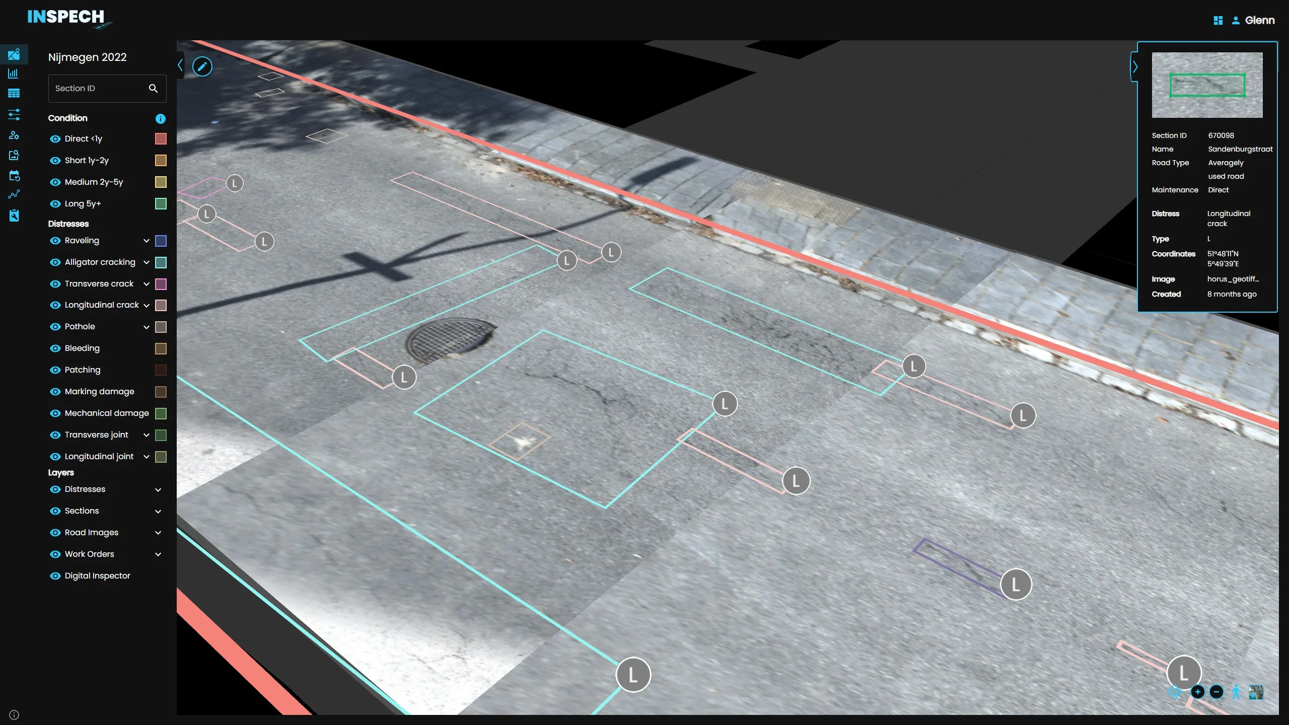
    BrainCreators has launched in the UK a cost-conscious “pro” edition of its road inspection system called INSPECH.
  • Frost Control gets the picture
    April 1, 2021
    Frost Control Systems says it has added cameras to its sensor-based fixed road weather information system (RWIS) for improved information accuracy.