Improved survey data handling

Leica Geosystems says that its Leica MobileMatriX v3.0 package can be used to synchronise survey data with an enterprise geodatabase, transfer digital images taken from a mobile phone via Bluetooth and link it with a feature, in addition to many other improvements. The firms says that its MobileMatriX v3.0 package offers a flexible and powerful mobile GIS application and can be used in both large projects and small projects involving only a few field crews. Survey data can be replicated within the editing p
August 2, 2012 Read time: 2 mins
265 Leica Geosystems says that its Leica MobileMatriX v3.0 package can be used to synchronise survey data with an enterprise geodatabase, transfer digital images taken from a mobile phone via Bluetooth and link it with a feature, in addition to many other improvements. The firms says that its MobileMatriX v3.0 package offers a flexible and powerful mobile GIS application and can be used in both large projects and small projects involving only a few field crews.

Survey data can be replicated within the editing process for customers using ArcGIS to manage spatial data. This allows users to extend their geospatial applications to their colleagues in the field, creating unprecedented data management capabilities. By implementing Leica MobileMatriX 3.0 survey data synchronization in the project workflow, a client can now connect to an enterprise database and modify or re-compute the survey measurements. This improves the workflow between field and office and can provide time and cost savings up to 50%. With Leica MobileMatriX 3.0, the subcontractor can provide a finished geodatabase to the client, without resorting to a conversion process and current analysis has shown a potential time/cost savings of up to and beyond 30-50%.

For more information on companies in this article

Related Content

  • US road safety record
    April 26, 2012
    The latest official statistics from the US on road accidents show that fatality levels on the nation's roads have dropped to the lowest figures seen for more than six decades. The information was released by US Transportation Secretary Ray LaHood, revealing that highway deaths fell to 32,885 for 2010, the lowest level since 1949.
  • Durable light towers from Doosan
    February 21, 2022
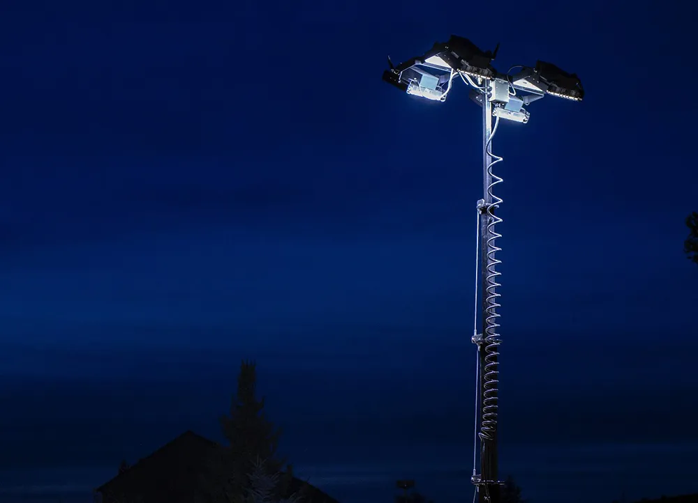
    The Portable Power business of Doosan Bobcat has launched a new range of compact generators as well as the new LVL 50Hz portable light tower for markets in the Middle East and Africa
  • Machine guidance and asset management aid fleet utilisation
    July 16, 2012
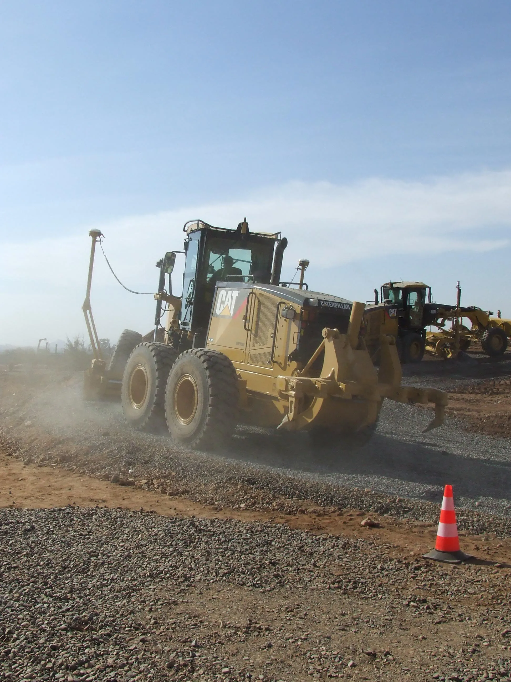
    Integrating Caterpillar's latest machine guidance and asset management tools offers efficiency gains for contractors in a competitive market. Mike Woof reports Caterpillar has been a leader in the development of GPS machine control systems through its partnership with Trimble. The manufacturer has rolled out a series of AccuGrade packages for various machines in its line-up, starting with the dozers and graders and then spreading to other machines such as scrapers, excavators and soil compactors. Caterpilla
  • Monitoring software update from Trimble
    November 15, 2019
    Trimble is offering an updated version of its real-time monitoring software, the 4D Control package. This Version 5.0 upgrade offers new features that allow users to streamline real-time structural monitoring system deployment as well as simplify the connection to geotechnical sensors. Trimble 4D Control software allows project stakeholders to monitor critical infrastructure such as dams and bridges along with buildings surrounding construction sites and tunnels.