Improved survey data handling

Leica Geosystems says that its Leica MobileMatriX v3.0 package can be used to synchronise survey data with an enterprise geodatabase, transfer digital images taken from a mobile phone via Bluetooth and link it with a feature, in addition to many other improvements. The firms says that its MobileMatriX v3.0 package offers a flexible and powerful mobile GIS application and can be used in both large projects and small projects involving only a few field crews. Survey data can be replicated within the editing p
August 2, 2012 Read time: 2 mins
265 Leica Geosystems says that its Leica MobileMatriX v3.0 package can be used to synchronise survey data with an enterprise geodatabase, transfer digital images taken from a mobile phone via Bluetooth and link it with a feature, in addition to many other improvements. The firms says that its MobileMatriX v3.0 package offers a flexible and powerful mobile GIS application and can be used in both large projects and small projects involving only a few field crews.

Survey data can be replicated within the editing process for customers using ArcGIS to manage spatial data. This allows users to extend their geospatial applications to their colleagues in the field, creating unprecedented data management capabilities. By implementing Leica MobileMatriX 3.0 survey data synchronization in the project workflow, a client can now connect to an enterprise database and modify or re-compute the survey measurements. This improves the workflow between field and office and can provide time and cost savings up to 50%. With Leica MobileMatriX 3.0, the subcontractor can provide a finished geodatabase to the client, without resorting to a conversion process and current analysis has shown a potential time/cost savings of up to and beyond 30-50%.

For more information on companies in this article

Related Content

  • The AI-based SBM REMAX 600 mobile impact crusher
    October 26, 2022
    SBM Mineral Processing (SBM) has developed the REMAX 600 track-mobile impact crusher as a ‘technological platform’ for an AI (artificial intelligence)-based, fully automatic production monitoring and control system.
  • Surfacing options for road construction
    June 24, 2020
    Other options exist for road surfacing and repair work that can prove cost-effective in the right application
  • Sharing point cloud data with Topcon
    March 12, 2018
    A new package from Topcon Positioning Group can help with collaboration and sharing for 3D point cloud data. This web-based service is for integration with the MAGNET Collage desktop mass data processing software — MAGNET Collage Web. According to the firm, the MAGNET Collage Web allows users to access data through a web browser that integrates with the MAGNET Collage Office version. The package means that users can publish and share mass data maps in a user-friendly and intuitive 3D web-based environment
  • Better maintenance is on the Horizon for UK’s Warrington Council
    May 15, 2018
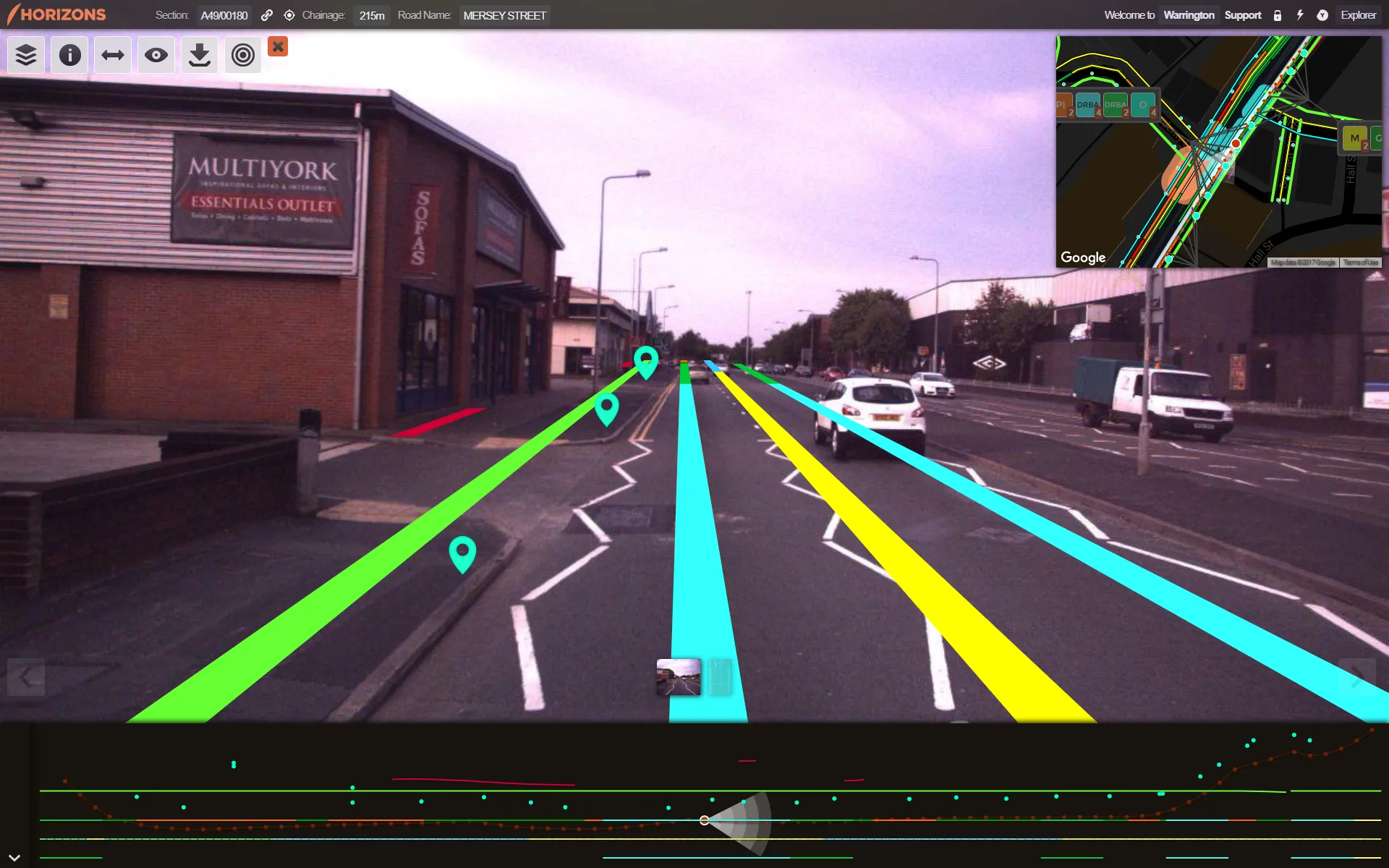
    Good, readable analysis of road surfaces to ensure sufficient maintenance funding is an essential part of asset management. The technical side of ensuring a good road surface is integral to maintaining safe, superior highway infrastructure. But securing sufficient government funding for such work – repairs and new-build – based on the current road surface is also essential. To evaluate road conditions and structure for such a business case, one UK local council turned to software provider Yotta.