Improved survey data handling

Leica Geosystems says that its Leica MobileMatriX v3.0 package can be used to synchronise survey data with an enterprise geodatabase, transfer digital images taken from a mobile phone via Bluetooth and link it with a feature, in addition to many other improvements. The firms says that its MobileMatriX v3.0 package offers a flexible and powerful mobile GIS application and can be used in both large projects and small projects involving only a few field crews. Survey data can be replicated within the editing p
August 2, 2012 Read time: 2 mins
265 Leica Geosystems says that its Leica MobileMatriX v3.0 package can be used to synchronise survey data with an enterprise geodatabase, transfer digital images taken from a mobile phone via Bluetooth and link it with a feature, in addition to many other improvements. The firms says that its MobileMatriX v3.0 package offers a flexible and powerful mobile GIS application and can be used in both large projects and small projects involving only a few field crews.

Survey data can be replicated within the editing process for customers using ArcGIS to manage spatial data. This allows users to extend their geospatial applications to their colleagues in the field, creating unprecedented data management capabilities. By implementing Leica MobileMatriX 3.0 survey data synchronization in the project workflow, a client can now connect to an enterprise database and modify or re-compute the survey measurements. This improves the workflow between field and office and can provide time and cost savings up to 50%. With Leica MobileMatriX 3.0, the subcontractor can provide a finished geodatabase to the client, without resorting to a conversion process and current analysis has shown a potential time/cost savings of up to and beyond 30-50%.

For more information on companies in this article

Related Content

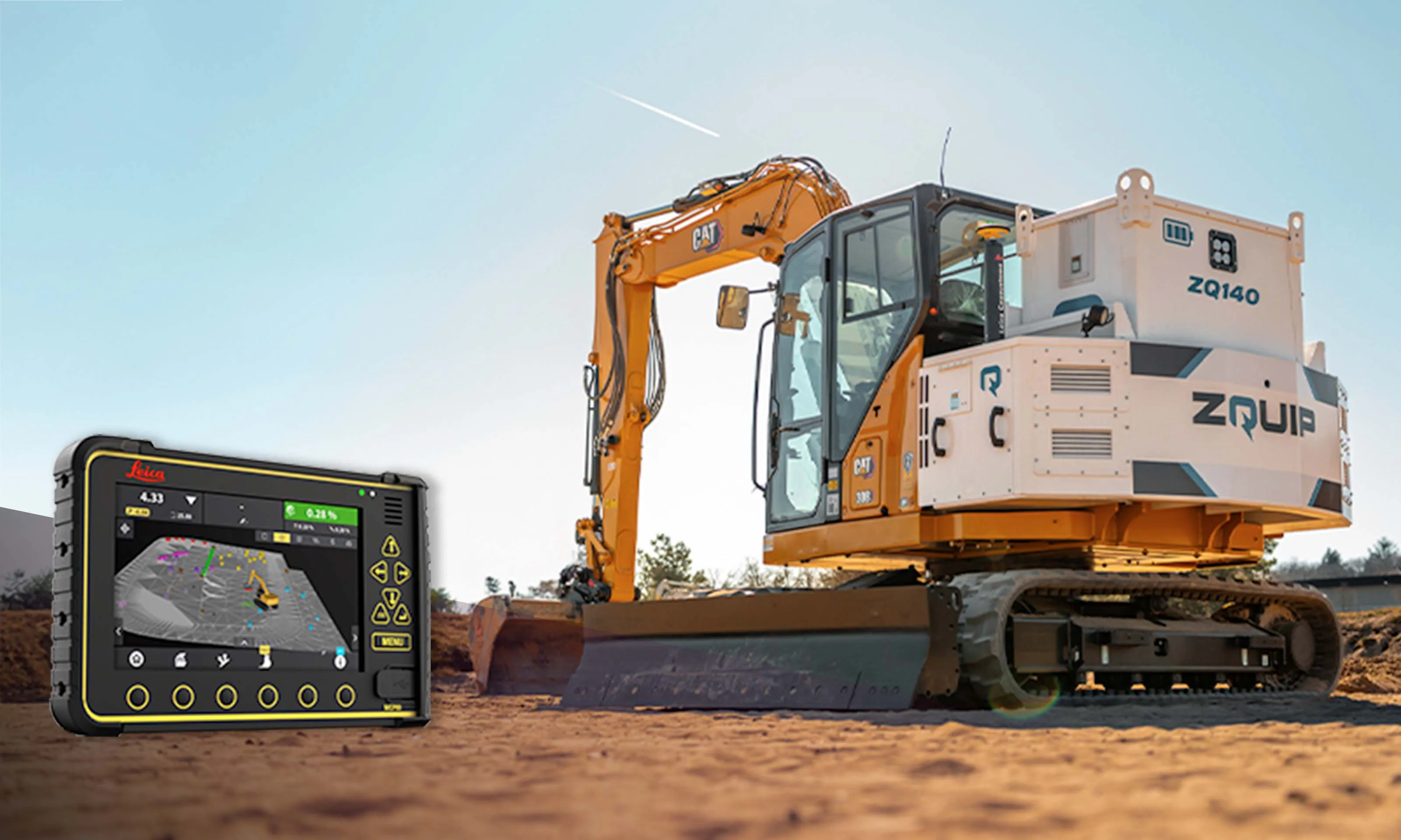
  • Cat 308 in the bag for ZQUIP and Leica
    June 18, 2025


    ZQUIP and Leica Geosystems have collaborated on a prototype 8tonne excavator that is geospatially intelligent and powered by a swappable, zero-emissions battery system.

    The modified CAT 308 concept excavator was successfully tested at a proving ground in France, noted ZQUIP, part of Moog Construction, and Leica Geosystems, part of Hexagon. The smart, clean vehicle is equipped with Leica Geosystems’ advanced machine control solution, which brings real-time data and precise design execution.

  • Construction trends in North America, looking to the future
    June 10, 2019
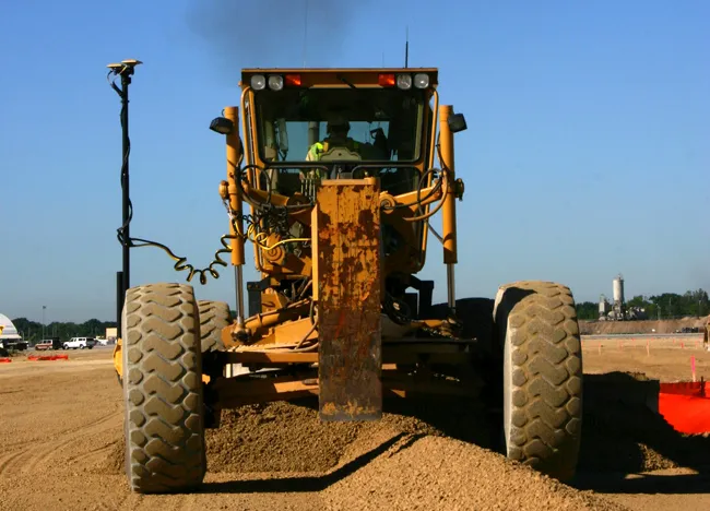
    Exciting changes in construction will reward the aware contractor - *Jeff Winke comments Hop in a car and drive anywhere in the US and chances are the drive will be on roads and highways that need patching, resurfacing, or widening, and bridges often show signs of needed maintenance. Sadly, things are in bad shape. On the last two report cards from the American Society of Civil Engineers, the US infrastructure scored a D+. This year’s report urges the government and private sector to increase spending
  • Ambitious road tunnelling projects around the world
    November 29, 2013
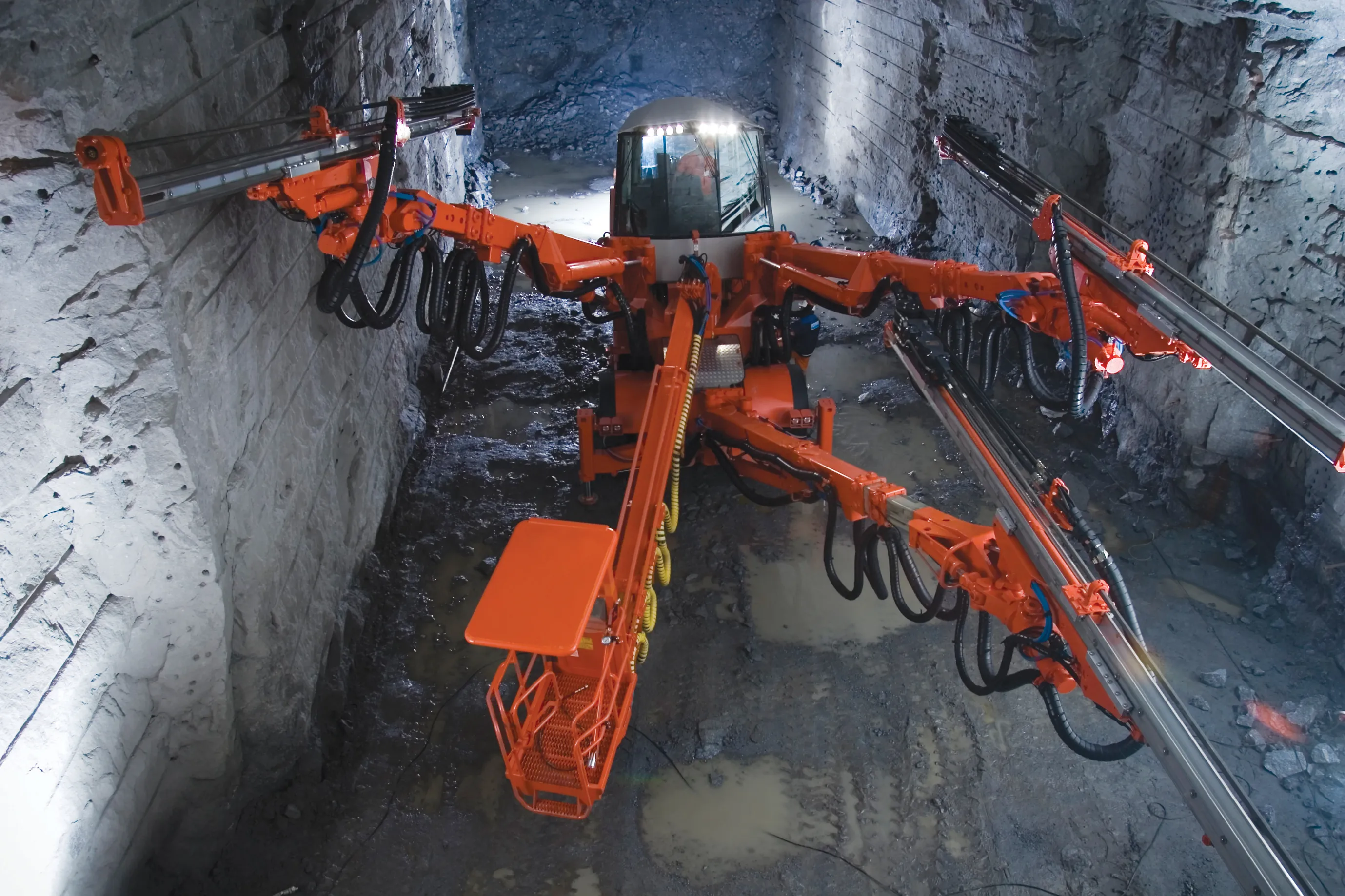
    The construction of the world’s longest subsea road tunnel in Norway and a vital new link under the Bosphorus Strait in Turkey are among a host of exciting, major road tunnel-based projects currently being undertaken across the globe. Guy Woodford reports Sandvik DTi series tunnelling jumbos are being used for the excavation of Solbakktunnel, set to become the world’s longest subsea road tunnel.
  • New equipment for materials testing
    January 13, 2014
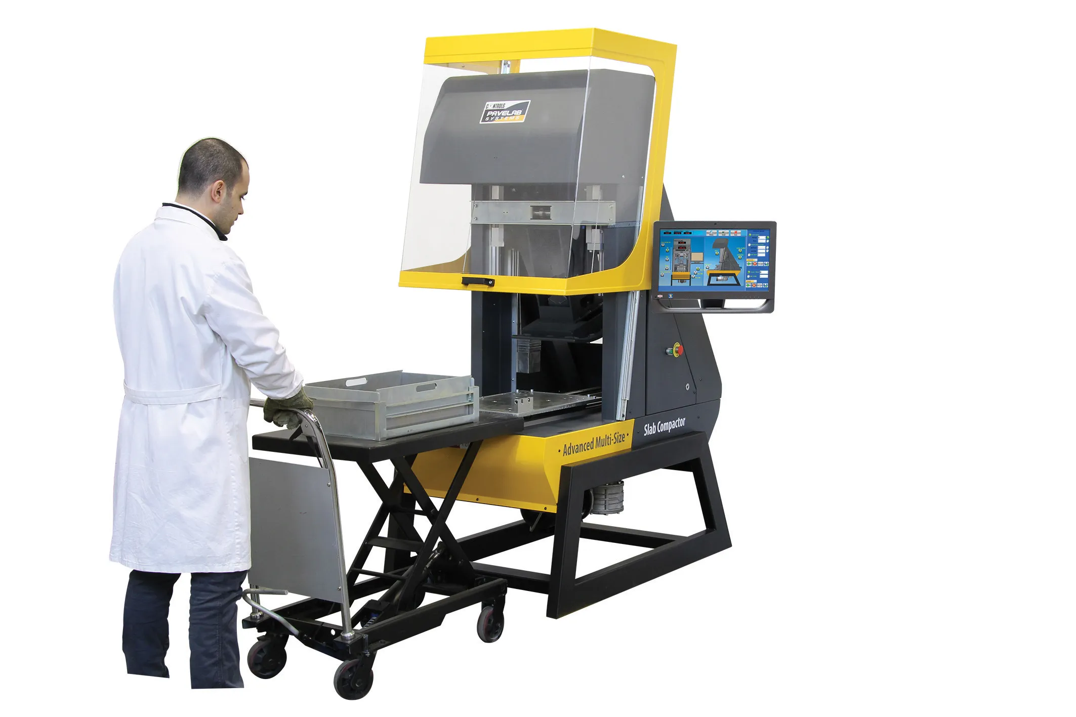
    Leading formwork manufacturers have secured some impressive contracts in Africa, as the continent’s transport infrastructure continues to improve at a rapid pace. Meanwhile, other bridgework equipment companies are also seeing their products in demand in Africa, as well as North America and Australia. Guy Woodford reports