Improved survey data handling

Leica Geosystems says that its Leica MobileMatriX v3.0 package can be used to synchronise survey data with an enterprise geodatabase, transfer digital images taken from a mobile phone via Bluetooth and link it with a feature, in addition to many other improvements. The firms says that its MobileMatriX v3.0 package offers a flexible and powerful mobile GIS application and can be used in both large projects and small projects involving only a few field crews. Survey data can be replicated within the editing p
August 2, 2012 Read time: 2 mins
265 Leica Geosystems says that its Leica MobileMatriX v3.0 package can be used to synchronise survey data with an enterprise geodatabase, transfer digital images taken from a mobile phone via Bluetooth and link it with a feature, in addition to many other improvements. The firms says that its MobileMatriX v3.0 package offers a flexible and powerful mobile GIS application and can be used in both large projects and small projects involving only a few field crews.

Survey data can be replicated within the editing process for customers using ArcGIS to manage spatial data. This allows users to extend their geospatial applications to their colleagues in the field, creating unprecedented data management capabilities. By implementing Leica MobileMatriX 3.0 survey data synchronization in the project workflow, a client can now connect to an enterprise database and modify or re-compute the survey measurements. This improves the workflow between field and office and can provide time and cost savings up to 50%. With Leica MobileMatriX 3.0, the subcontractor can provide a finished geodatabase to the client, without resorting to a conversion process and current analysis has shown a potential time/cost savings of up to and beyond 30-50%.

For more information on companies in this article

Related Content

  • Innovation for slipforming
    September 3, 2024
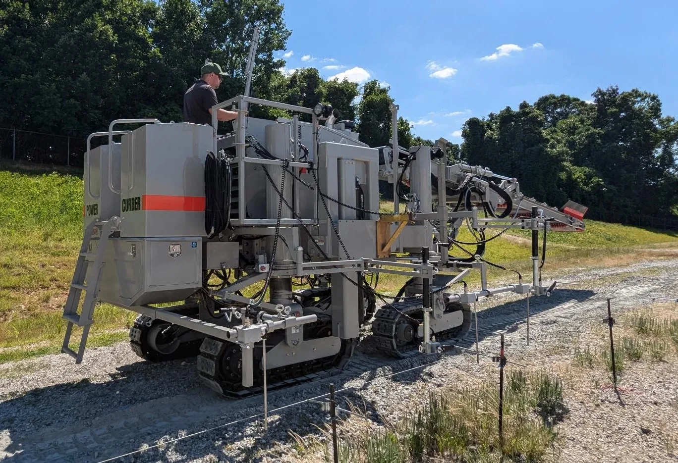
    Power Curbers is expanding its range if slipformer options
  • InnoSenT traffic management
    April 12, 2023
    InnoSenT has developed a new high-tech radar system for intersection management and traffic monitoring: the ITR-3800.
  • Novel demolition machines
    May 9, 2023
    The market for ruggedised demolition excavators has very specific requirements, with three new models now available – Mike Woof writes
  • Trimble’s new tools can boost drilling, piling and bucket weighing accuracy
    November 29, 2013
    Trimble is broadening its range of products with the introduction of its new DPS900 Drilling and Piling System and Business Center and the LOADRITE X2350 Payload Management System for excavators. According to the firm, the DPS900 Drilling and Piling system allows contractors to drill precisely at a specified location, to preset levels for depth, orientation and inclination angle. The HCE Drilling and Piling module is said to offer contractors tools to create optimised drilling and piling plans that can help