Improved survey data handling

Leica Geosystems says that its Leica MobileMatriX v3.0 package can be used to synchronise survey data with an enterprise geodatabase, transfer digital images taken from a mobile phone via Bluetooth and link it with a feature, in addition to many other improvements. The firms says that its MobileMatriX v3.0 package offers a flexible and powerful mobile GIS application and can be used in both large projects and small projects involving only a few field crews. Survey data can be replicated within the editing p
August 2, 2012 Read time: 2 mins
265 Leica Geosystems says that its Leica MobileMatriX v3.0 package can be used to synchronise survey data with an enterprise geodatabase, transfer digital images taken from a mobile phone via Bluetooth and link it with a feature, in addition to many other improvements. The firms says that its MobileMatriX v3.0 package offers a flexible and powerful mobile GIS application and can be used in both large projects and small projects involving only a few field crews.

Survey data can be replicated within the editing process for customers using ArcGIS to manage spatial data. This allows users to extend their geospatial applications to their colleagues in the field, creating unprecedented data management capabilities. By implementing Leica MobileMatriX 3.0 survey data synchronization in the project workflow, a client can now connect to an enterprise database and modify or re-compute the survey measurements. This improves the workflow between field and office and can provide time and cost savings up to 50%. With Leica MobileMatriX 3.0, the subcontractor can provide a finished geodatabase to the client, without resorting to a conversion process and current analysis has shown a potential time/cost savings of up to and beyond 30-50%.

For more information on companies in this article

Related Content

  • Perkins meets Stage V emissions requirements
    September 11, 2017
    Perkins is introducing a new range of diesels that meet the coming EU Stage V emissions requirements. These have been designed to meet the much tougher emission control requirements. In addition the firm is also introducing a new low cost engine monitoring package. There are 15 basic engine models in the line-up, with a huge range of variants to suit a massive array of different applications and installation requirements.
  • Traffic monitored by Fabema
    February 10, 2012
    Fabema GmbH is offering a new and more sophisticated solution for monitoring traffic flows, with its FMC-N multi-functional control that can be used during traffic jams, allowing the user to monitor phase changes from a PC. The unit, for both temporary and stationary use, suits installations with traffic signal systems featuring up to 32 signal groups and 256 signal lamps.
  • Transtec launches Command Center 2.0 for concrete monitoring
    February 27, 2017
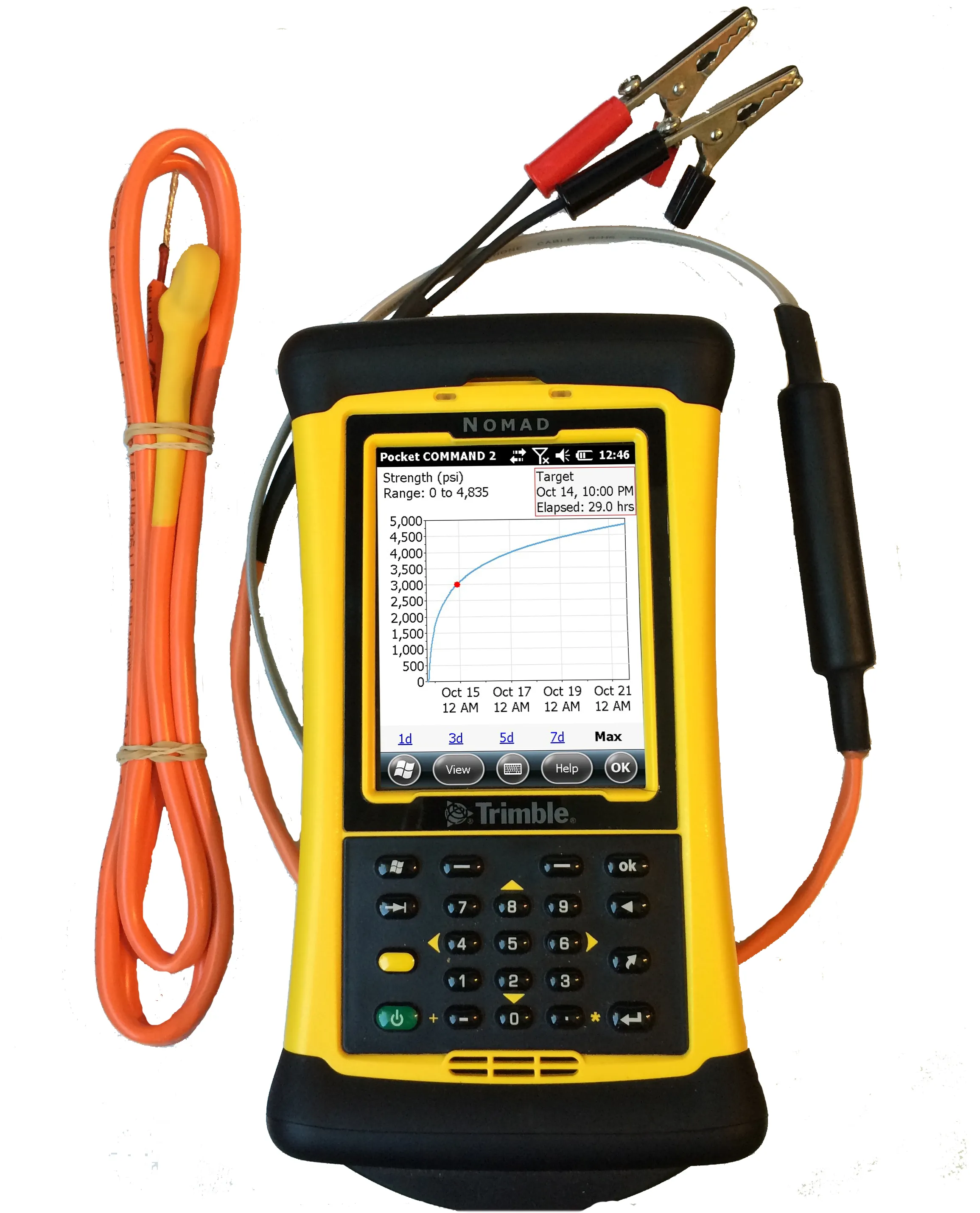
    Transtec Group has launched what it says is a powerful upgrade for concrete maturity and temperature monitoring. Command Center 2.0 (CC 2.0) includes updated desktop and mobile software, improved readers for data collection and a more durable, highly visible sensor cable.
  • Spot on with Trimble’s X7 3D scanner
    November 25, 2021
    The X7 solution was jointly developed by Trimble and Boston Dynamics.