Improved survey data handling

Leica Geosystems says that its Leica MobileMatriX v3.0 package can be used to synchronise survey data with an enterprise geodatabase, transfer digital images taken from a mobile phone via Bluetooth and link it with a feature, in addition to many other improvements. The firms says that its MobileMatriX v3.0 package offers a flexible and powerful mobile GIS application and can be used in both large projects and small projects involving only a few field crews. Survey data can be replicated within the editing p
August 2, 2012 Read time: 2 mins
265 Leica Geosystems says that its Leica MobileMatriX v3.0 package can be used to synchronise survey data with an enterprise geodatabase, transfer digital images taken from a mobile phone via Bluetooth and link it with a feature, in addition to many other improvements. The firms says that its MobileMatriX v3.0 package offers a flexible and powerful mobile GIS application and can be used in both large projects and small projects involving only a few field crews.

Survey data can be replicated within the editing process for customers using ArcGIS to manage spatial data. This allows users to extend their geospatial applications to their colleagues in the field, creating unprecedented data management capabilities. By implementing Leica MobileMatriX 3.0 survey data synchronization in the project workflow, a client can now connect to an enterprise database and modify or re-compute the survey measurements. This improves the workflow between field and office and can provide time and cost savings up to 50%. With Leica MobileMatriX 3.0, the subcontractor can provide a finished geodatabase to the client, without resorting to a conversion process and current analysis has shown a potential time/cost savings of up to and beyond 30-50%.

For more information on companies in this article

Related Content

  • Digital construction for asphalt paving
    May 1, 2020
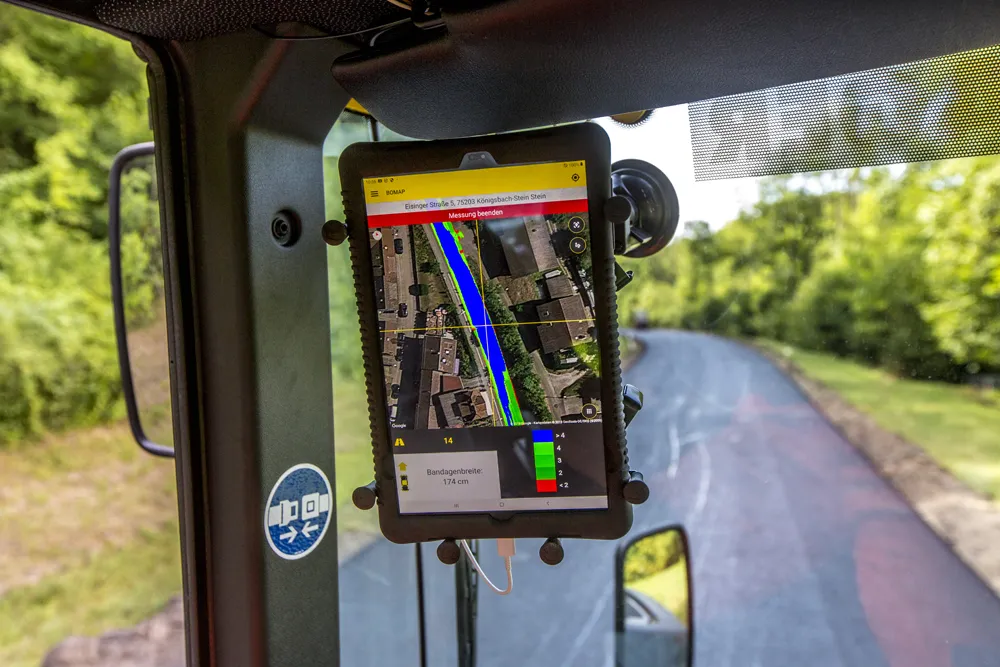
    BOMAP is an innovative tool from BOMAG for digital construction
  • Powered two wheeler safety plan for Europe
    November 16, 2015
    A new road safety strategy for powered two wheelers in Europe has been set out jointly following discussions. The results of analysis have been set out in a joint position statement by the bodies FEMA, FIM and FIM Europe. In the draft report FEMA and FIM have identified seven major areas of great importance that are in accordance with the positions of the riders’ organisations in Europe and elsewhere. Key recommendations and statements from the OECD-ITF draft report highlight issues for the safety of powe
  • The UK Highways Agency engages Fugro for Doppler laser surveying
    January 6, 2015
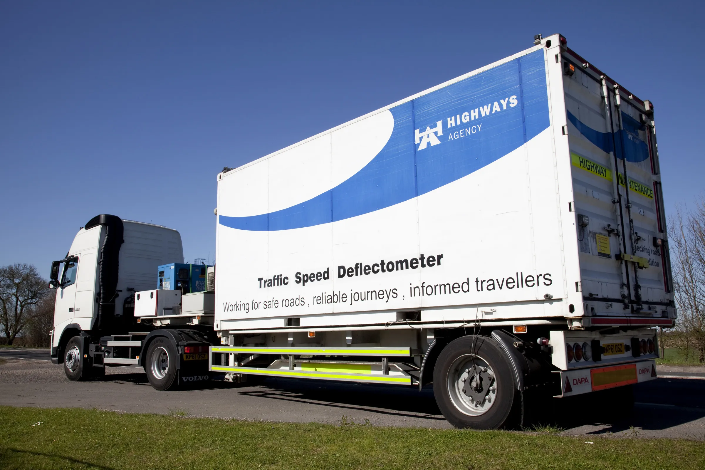
    The United Kingdom’s Highways Agency has awarded its first commercial contract to survey thousands of road lanes using sophisticated Doppler laser equipment. Fugro is driving the project forward, reports David Arminas The Highways Agency Traffic Speed Defelectometer vehicle looks like an ordinary flatbed truck delivering a similarly ordinary steel shipping container. But looks are deceiving. Inside the container is a sophisticated Doppler laser measuring system collecting pavement condition data of the U