An iCON of construction

Leica Geosystems has high hopes for iCON, described as its pioneering portfolio of tailor-made positioning and measuring solutions for construction professionals. Said to be more than a new product line and a software package, the iCON range consists of four elements. iCONstruct provides tailor-made hardware and software solutions for positioning and measuring tasks on site.
June 21, 2012 Read time: 1 min
265 Leica Geosystems has high hopes for iCON, described as its pioneering portfolio of tailor-made positioning and measuring solutions for construction professionals.

Said to be more than a new product line and a software package, the iCON range consists of four elements.

iCONstruct provides tailor-made hardware and software solutions for positioning and measuring tasks on site.

Meanwhile, iCONtrol provides communication between construction personnel on site while also offering what is said to be a comprehensive portfolio of machine control solutions.

iCONsult is an extensive support network, with clear guidance on intelligent construction aimed at growing contractors businesses.

Finally, iCONnect connects the iCON system to what is said to be a “superior” network using wireless data transfer.

For more information on companies in this article

Related Content

  • Award-winning road and bridge design software
    March 20, 2012
    The integration of software tools, users and data was an important factor in a major highway project The giant High Five interchange in Texas, USA, emerged as a key winner in Bentley Systems' software awards this year. It won both the Innovation in Road and Bridge category and, significantly, Connecting Project Teams. The awards, a feature of the annual exhibition/conference organised by the software house, attract increasing interest from industry, and competition has become widespread, not least bec
  • Accurate grading for Caterpillar using Leica Geosystems technology
    October 2, 2023
    Accurate grading is possible for Caterpillar machines using Leica Geosystems technology.
  • Topcon unveils Hybrid Robotic System
    January 21, 2014
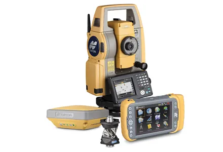
    Topcon Positioning Group has unveiled its Hybrid Robotic System, featuring the new DS series robotic total station and the recently announced MAGNET v2.0 software suite, a Topcon enterprise solution for the geomatics industry. Other Topcon components in the cutting-edge HRS include the economical HiPer SR GNSS receiver and Tesla large-screen tablet controller. The new system combines GNSS positioning and robotic measurements with an automated data workflow to provide added versatility and efficiency for
  • Sophisticated paving technology
    March 22, 2021
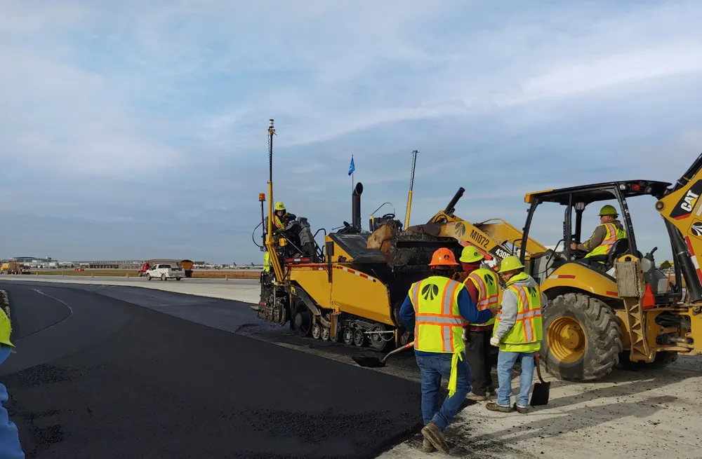
    Trimble is introducing its sophisticated Roadworks 3D Paving Control Platform for Asphalt Pavers.