High accuracy mapping without base stations

Highly accurate UAV mapping can now be achieved without the need for base stations. This development comes from Applanix, part of the Trimble Group.
June 15, 2020 Read time: 2 mins
© Piotr Swat | Dreamstime.com

The POSPac Trimble Post-Processed CenterPoint RTX (POSPac PP-RTX) correction service has been enhanced for use with UAVs flown within Trimble RTX Fast service regions. This is now available on a subscription basis within the latest release of POSPac UAV 8.4, Applanix GNSS-aided inertial post-processing software. The POSPac PP-RTX correction service supports the generation of cm-level position solutions for short duration UAV trajectories without using local base stations. Final data is available within minutes of completing a mission.

POSPac PP-RTX works with the Trimble APX UAV Series of board sets. This GNSS-inertial OEM solution is designed to reduce the cost and improve the efficiency of mapping from small UAVs. The package comprises a single OEM board containing a precision GNSS receiver and inertial sensor components plus post-mission Differential GNSS-inertial office software. The Trimble APX UAV eliminates the need to survey extensive Ground Control Points (GCPs), and reduces the amount of sidelap required to be flown, increasing the area flown/mission.

The POSPac UAV post-processing software processes data logged from the Trimble APX UAV series of board sets. The system can produce accurate position and orientation data from a LiDAR or camera flown onboard a UAV. The POSPac PP-RTX service uses the same data generated by Trimble RTX real-time correction services, which models precise satellite orbit, clock and atmospheric information. The POSPac PP-RTX service is available now through the Applanix sales channels.

For more information on companies in this article

Related Content

  • Safety measures aid workzone accident reduction
    February 20, 2012
    Everyone connected with the highway industry is involved in the efforts to cut down the number of work zone accidents. Patrick Smith reports. A few months ago, as road work resumed on America's highways and bridges, US Transportation Secretary Ray LaHood called on drivers to use extra caution in work zones. At the same time he commended the success in reducing overall roadway fatalities in each of the last seven years.
  • Smarter vision
    February 10, 2012
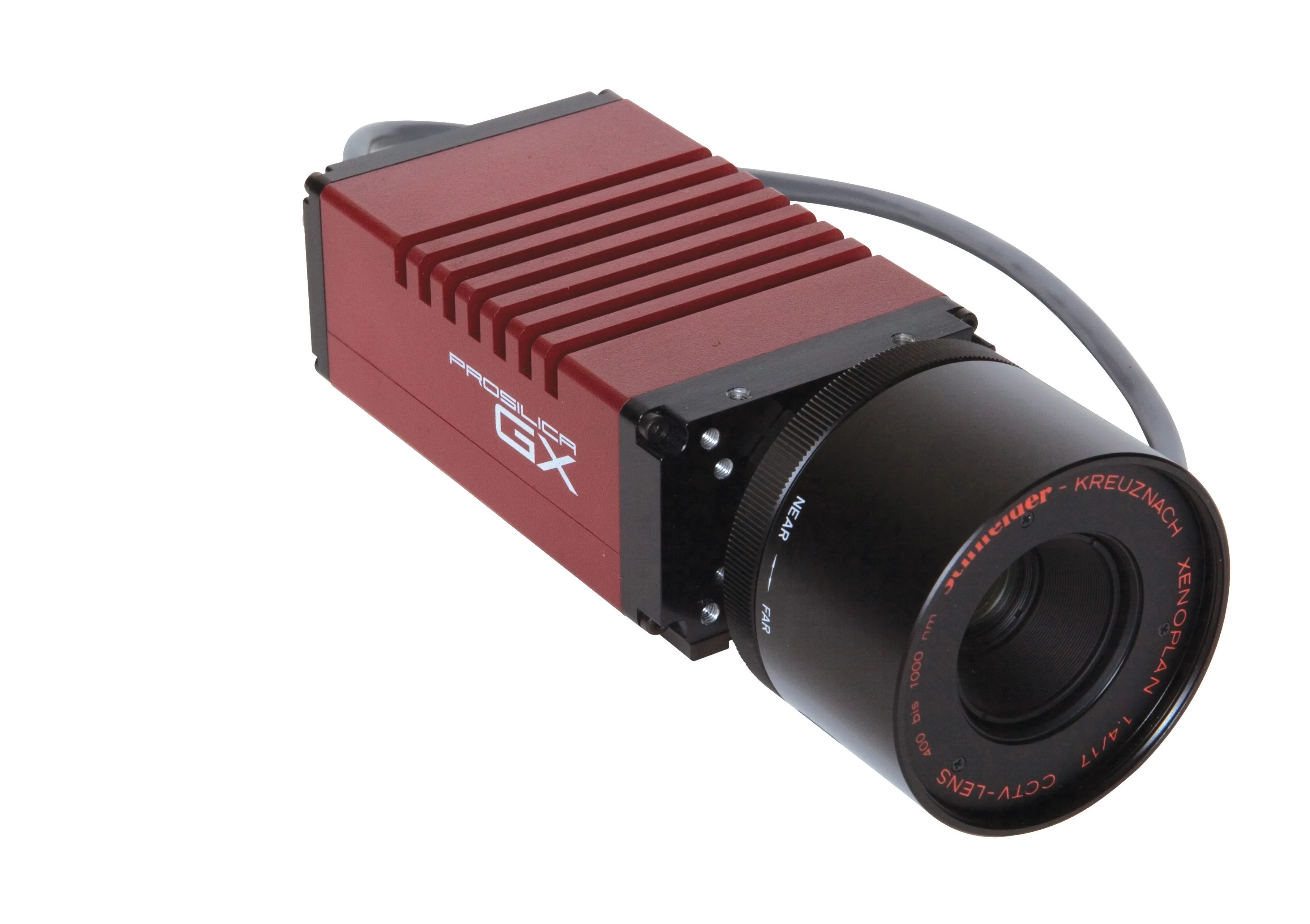
    Allied Vision Technologies says that its new Prosilica GX1920 HD camera offers a high resolution solution for traffic imaging applications.
  • Laser scanning versatility
    February 13, 2012
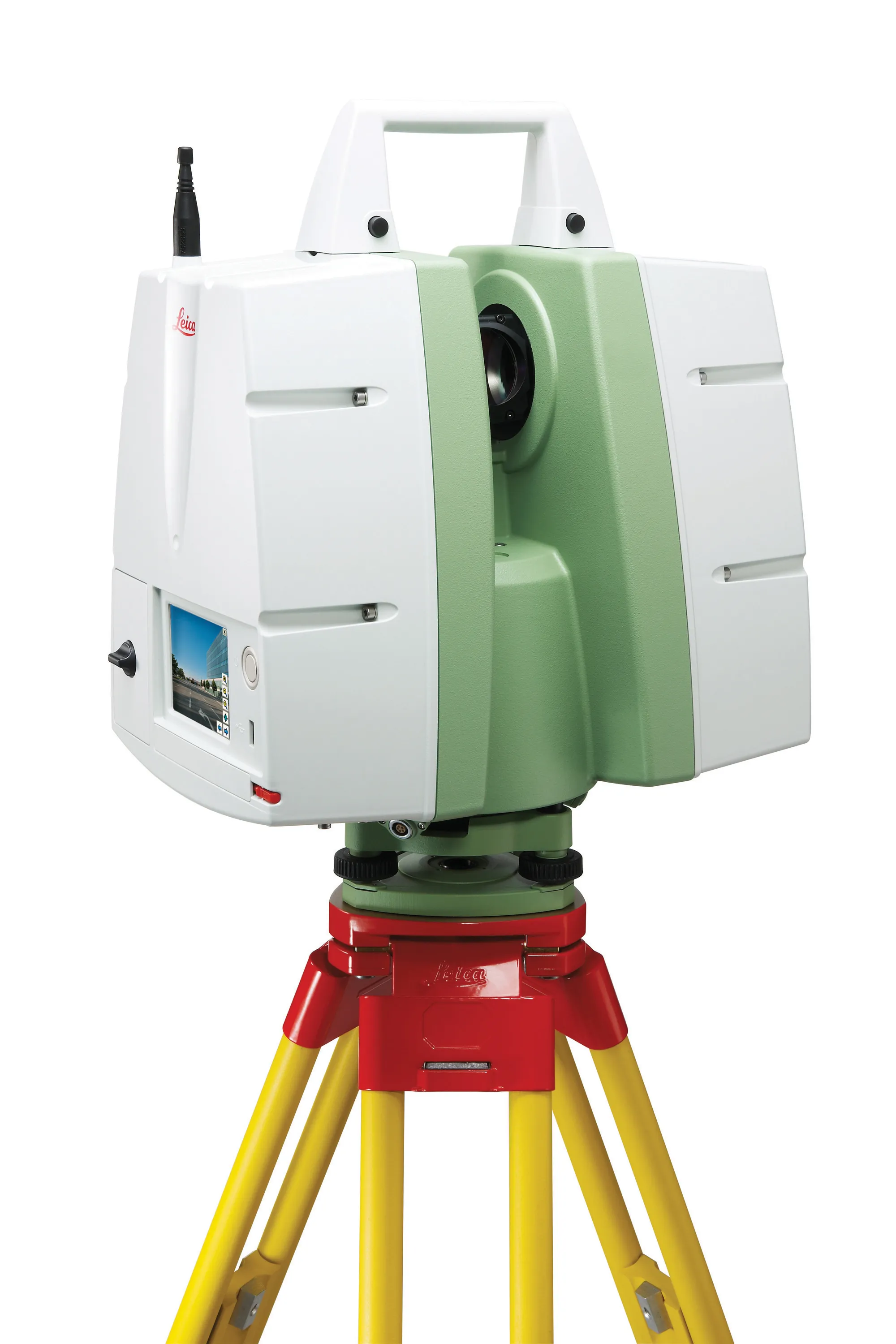
    The upgraded ScanStation C10 laser scanning system from Leica Geosystems now offers high performance as well as increased versatility and productivity.
  • The ADT offers hauling versatility
    May 20, 2014
    The ADT offers a highly versatile option for earthmoving applications and manufacturers are offering new and improved models with the latest low emission engines - Mike Woof writes The versatility and adaptability of the ADT has seen this type of machine become one of the most important types of equipment for the global off-highway machinery sector. The once popular motor scraper now sells in only limited numbers, even in the US, and has been replaced by the more versatile excavator and ADT combination o