Accurate laser scanning with Leica Geosystems

A new handheld imaging laser scanner from Leica Geosystems is said to offer high efficiency for surveyors.
February 6, 2020 Read time: 1 min
Fast laser surveying is possible with the new tool from Leica Geosystems

The BLK2GO handheld imaging laser scanner is said to be the first-of-its-kind mobile scanner that can scan complex spaces efficiently and quickly due to its LiDAR, SLAM (simultaneous localisation and mapping) and edge computing technologies.

The laser scanner can capture 3D environments while the user is in motion, and generate 3D point clouds continuously. Compact in design, the unit allows access to spaces that may have been difficult or impossible to scan before.

Combining two-axis LiDAR with visual SLAM technologies, the BLK2GO will accurately follow a user’s trajectory while scanning. When used with the iOS app, users can get live feedback, check the device status, or do quick data inspection.

For more information on companies in this article

Related Content

  • Trees delivering cleaner cities with less pollution?
    November 30, 2016
    Research carried out jointly by scientists from EarthSense Systems and the University of Leicester shows the beneficial effect of urban trees on helping lower air pollution. The study shows a direct link between air pollution and green infrastructure, with trees and grass cover contributing to a reduction in concentrations of fine particulate matter (PM2.5). The newly published research shows that the aerodynamic dispersive effect of trees results in a 9.0 percent reduction in PM2.5 concentrations. A decrea
  • Aggregate Industries launches Automated Inspection and Testing
    May 15, 2018
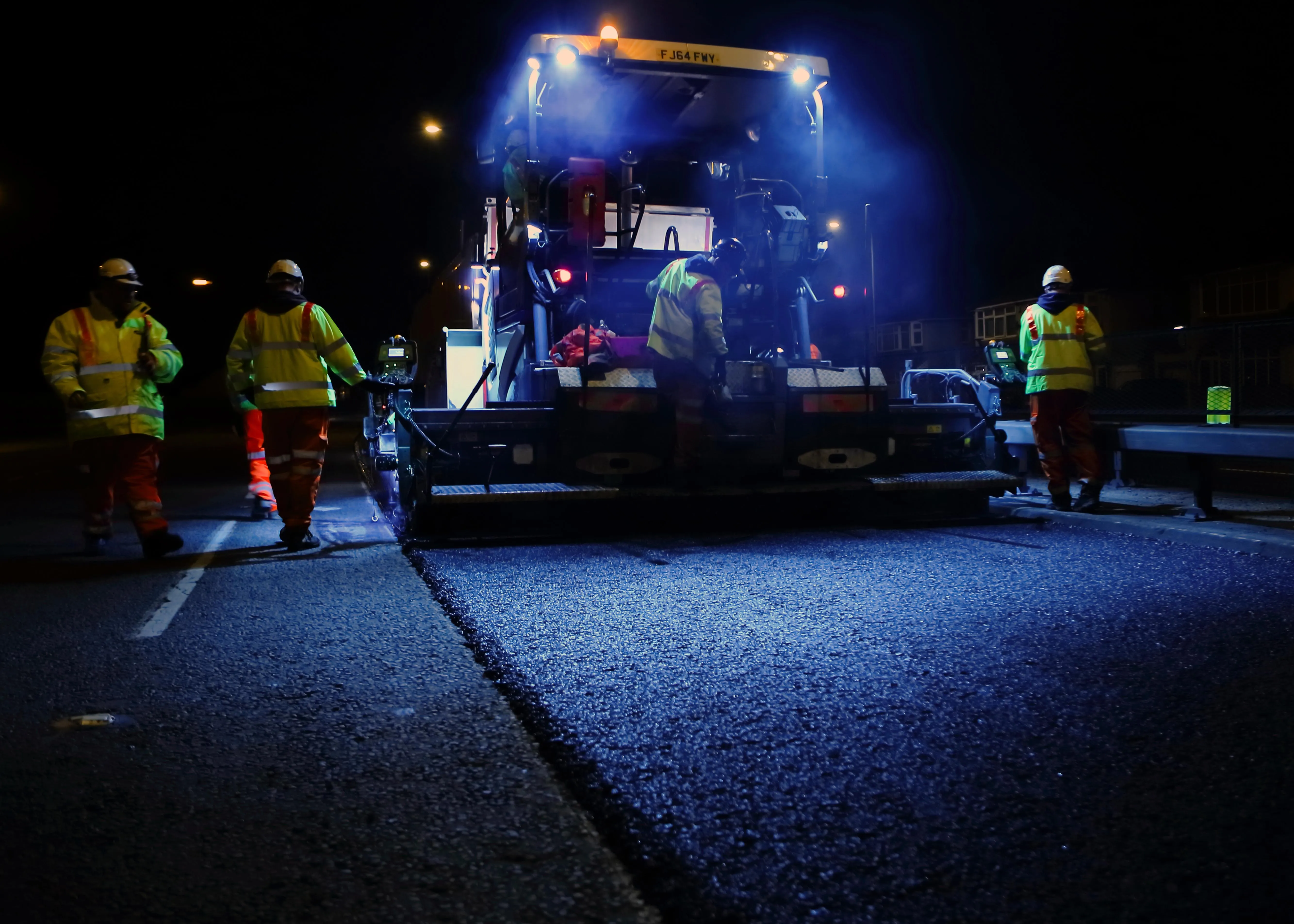
    With safety the priority in road paving, Aggregate Industries says it has launched an automated data gathering system to replace hazardous inspections by crew members. AI says that the new system, known as Automated Inspection and Testing, will see all pavers, rollers and survey vehicles fitted with the latest technology including GPS, infra-red sensors and a data recording unit. All will automatically log high-quality data before, during and after the surfacing process.
  • KIT to study bridge vibration data
    July 7, 2025
    In Germany, the Karlsruhe Institute of Technology, KIT, will use acceleration sensors to gather vibration data from bridges to pinpoint structural degradation.
  • Accurate weigh-in-motion technology
    June 21, 2016
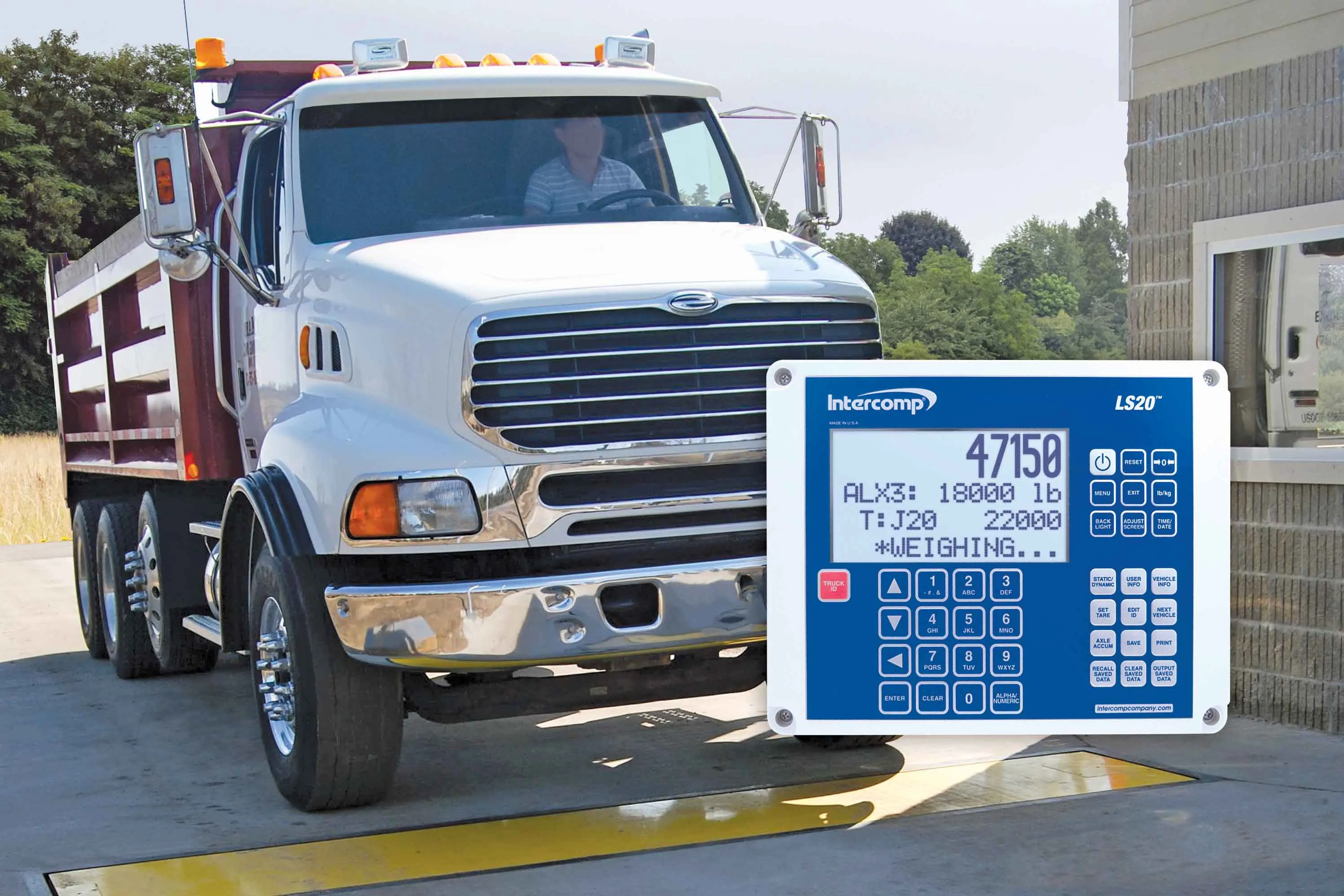
    Weigh-in-motion technology is ensuring increasingly accurate, and flexible, weighing stations. Weigh-in-motion specialist manufacturer Axtec says that its space-saving dynamic weighbridge is accurate to within ±0.5% and is the most precise system in the world. From its Runcorn, UK manufacturing facility, Axtec undertakes research and development of new technologies, as well as software testing, fabrication, construction and installation of WIM products. Axtec’s axle weighing platform design is intended f