Accurate laser scanning with Leica Geosystems

A new handheld imaging laser scanner from Leica Geosystems is said to offer high efficiency for surveyors.
February 6, 2020 Read time: 1 min
Fast laser surveying is possible with the new tool from Leica Geosystems

The BLK2GO handheld imaging laser scanner is said to be the first-of-its-kind mobile scanner that can scan complex spaces efficiently and quickly due to its LiDAR, SLAM (simultaneous localisation and mapping) and edge computing technologies.

The laser scanner can capture 3D environments while the user is in motion, and generate 3D point clouds continuously. Compact in design, the unit allows access to spaces that may have been difficult or impossible to scan before.

Combining two-axis LiDAR with visual SLAM technologies, the BLK2GO will accurately follow a user’s trajectory while scanning. When used with the iOS app, users can get live feedback, check the device status, or do quick data inspection.

For more information on companies in this article

Related Content

  • Sophisticated new loaders
    March 10, 2021
    Sophisticated new wheeled loaders are now coming to market from key suppliers
  • Leica Geosystems new machine control tool
    February 7, 2017
    Leica Geosystems is aiming to improve compaction quality with its new machine control tool. The Leica iCON roller package can deliver benefits to both compaction quality and productivity. The package provides the compactor operator with an on-screen visualisation of completed passes, displaying where they have occurred and where more are needed for consistent results. The different colours on the display show the operator where work has been carried and to what degree. Using this system means that costly
  • Tunnelling with Atlas Copco's HPT
    February 6, 2012
    Atlas Copco claims that its high precision tunnelling (HPT) system will offer greater productivity and reduced costs in drill and blast tunnelling operations. The HPT system is a package with five options for use on drill rigs and other types of construction equipment. Advanced PC-based software allows a worksite office to provide operational support to Atlas Copco rigs equipped with the Rig Control System (RCS). The Tunnel Manager system can help plan, store and evaluate data for the drilling process. This
  • Transtone revolutionises quarry operations with Connected Map and Performance Indicator
    September 1, 2024
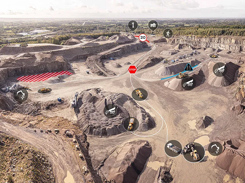
    Digital tools have the potential to reshape construction, helping customers to run more efficient, productive, safe and sustainable operations. Transtone SA, a valued customer of Volvo Construction Equipment (Volvo CE) based in Belgium, has transformed its operations with Volvo CE’s productivity services, Connected Map and Performance Indicator.