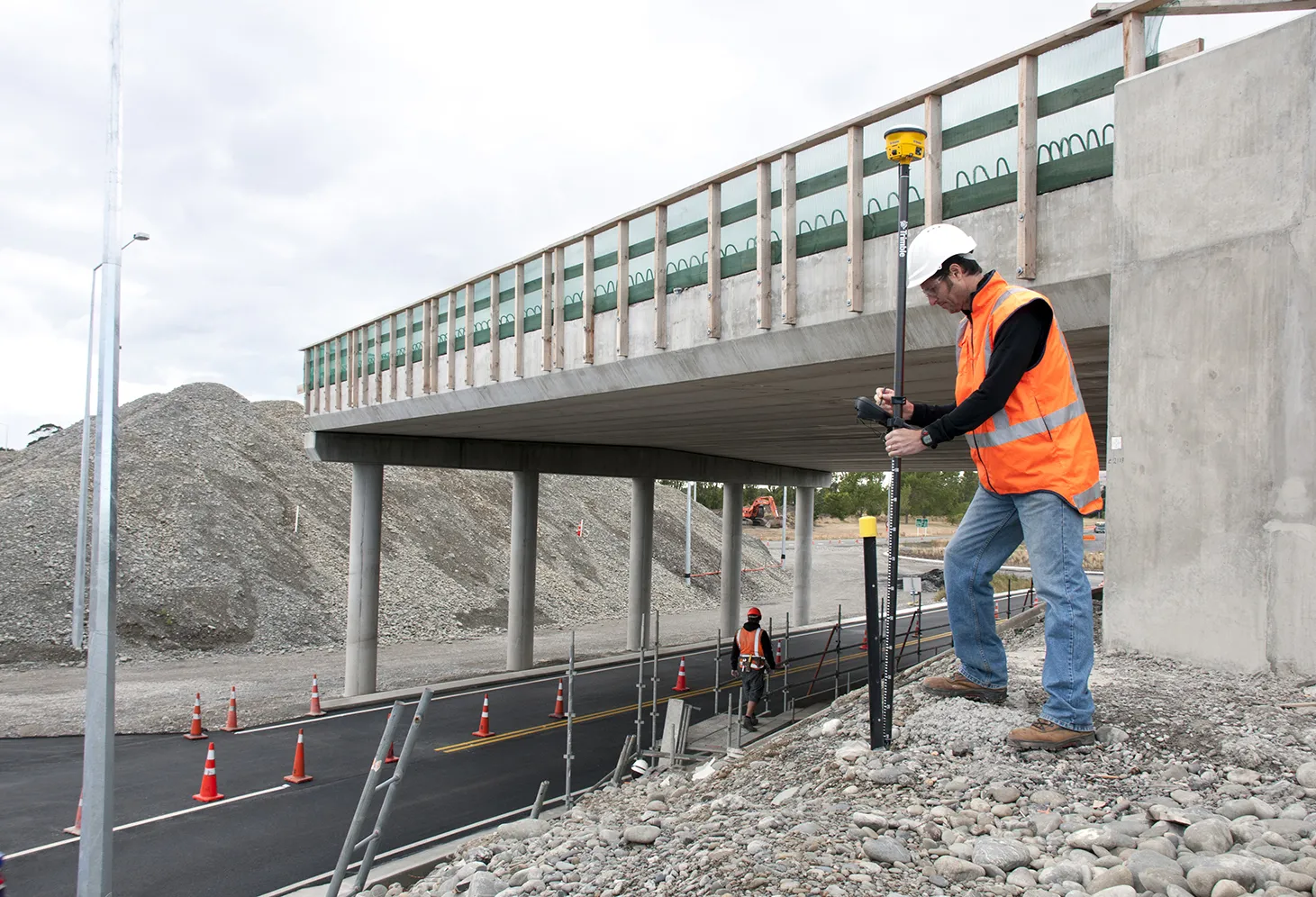
Accurate laser scanning with Leica Geosystems

A new handheld imaging laser scanner from Leica Geosystems is said to offer high efficiency for surveyors.
February 6, 2020 Read time: 1 min
Fast laser surveying is possible with the new tool from Leica Geosystems

The BLK2GO handheld imaging laser scanner is said to be the first-of-its-kind mobile scanner that can scan complex spaces efficiently and quickly due to its LiDAR, SLAM (simultaneous localisation and mapping) and edge computing technologies.

The laser scanner can capture 3D environments while the user is in motion, and generate 3D point clouds continuously. Compact in design, the unit allows access to spaces that may have been difficult or impossible to scan before.

Combining two-axis LiDAR with visual SLAM technologies, the BLK2GO will accurately follow a user’s trajectory while scanning. When used with the iOS app, users can get live feedback, check the device status, or do quick data inspection.

For more information on companies in this article

Related Content

  • Trimble’s new solutions boost road building
    January 29, 2014
    Trimble is now offering a sophisticated package of solutions comprising hardware, software and mobility technologies. This streamlines communication and collaboration throughout the construction lifecycle, from planning, design and site preparation through to the finished project. Connecting sites delivers value across the entire project lifecycle, as real-time data gives contractors and stakeholders better information about material, people and asset utilisation for improved productivity.
  • Outset rolls out new T1 Bluetooth weighing and tyre pressure app for greater productivity
    March 17, 2023
    On-board weighing technology company Outset has launched a T1 Bluetooth transmission module, designed to allows direct and constant control of a vehicle’s load volumes and tyre conditions. The system works via an Android App for smartphone or tablet.
  • TransCore debuts GPS-based device for infrastructure-less tolling and safe driving applications
    May 1, 2012
    TransCore has today launched ROVR, a GPS device with GSM communications that allows infrastructure-less tolling and includes an optional driver safety monitoring feature shown to dramatically reduce accidents, improve fuel economy, and decrease Greenhouse gases (GHG).
  • Smarter paving option from Vögele
    December 12, 2018
    Vögele is extending its range of service and training options for users with the introduction of a new app and web facility. This is said to allow paving crews to get to grips with the ErgoPlus 3 operating concept quickly and easily with the aid of numerous animations. The tool allows users to learn how to position and adjust the screed, as well as retrieve paving programmes. Using the system allows operators to achieve optimum paving results and efficient job site processes, according to the firm. The sy