
Trimble expanding BIM capability with Vianova purchase

Trimble is expanding with the acquisition of Norwegian firm Vianova Systems. The move brings Trimble additional capabilities in BIM, a key technology area. The financial terms were not disclosed. Vianova Systems is a pioneer in the development of software leveraging advanced BIM technology for the civil engineering market and infrastructure lifecycle management across infrastructure design. The company offers a portfolio of solutions for civil engineers, civil contractors and project owners. These solutions
September 3, 2015 Read time: 2 mins
2122 Trimble is expanding with the acquisition of Norwegian firm 358 Vianova Systems. The move brings Trimble additional capabilities in BIM, a key technology area. The financial terms were not disclosed. Vianova Systems is a pioneer in the development of software leveraging advanced BIM technology for the civil engineering market and infrastructure lifecycle management across infrastructure design. The company offers a portfolio of solutions for civil engineers, civil contractors and project owners. These solutions include specialist tools for road, site, bridge and tunnel civil design, advanced geotechnical analysis and sophisticated model-based multiuser collaboration tools. In addition, the tools include civil design project tracking, design model traceability and automated design change monitoring.

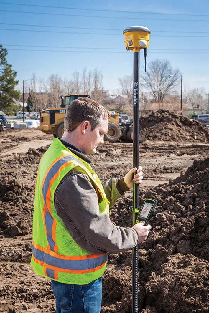
The acquisition of Vianova Systems will extend Trimble’s Connected Site portfolio. This is an information management solution that provides a high-level of process and workflow integration to optimise operations from the design phase through to the finished project. “The combination of Vianova Systems’ Building Information Modeling capabilities and Trimble’s ability to drive constructability into workflows will optimise both site and project processes. With Vianova Systems, we can now deliver solutions for the owner, engineer and contractor to more closely collaborate on civil projects,” said Roz Buick, vice president of Trimble's Civil Engineering and Construction Division.

For more information on companies in this article

Related Content

  • Advances in aggregate production machines
    October 27, 2016
    Aggregate production equipment continues to become more efficient and more productive as development continues – Mike Woof writes During 2016 all the major aggregate production equipment specialists have put a good deal of new machines on the market, highlighting their investment in research and development. These firms are also investing in developing their facilities, with new manufacturing capability coming on stream. Materials washing specialist CDE Global is now offering its modular M-Series wash
  • Laser scanning focuses on asset management
    January 9, 2015
    Laser scanners and improved data collection and analysis software are making light of asset management surveying. David Arminas reports The age of the laser scanner is upon us, taking over from traditional manual methods of surveying, data collection and processing. These new technical developments are making it much easier to process and use the data captured and are providing highways engineers with powerful tools to record, map and visualise their assets. This is good news for highways authorities
  • Trimble launches Site Positioning System Essentials Kit
    February 20, 2014
    Trimble has introduced a Site Positioning System designed for owner operators, small site contractors or construction companies new to GPS. The Trimble Site Positioning System Essentials Kit gives contractors proven Trimble quality and accuracy in an affordable and easy-to-use solution. The Essentials Kit is comprised of the new Trimble Site Mobile controller, Trimble SCS900 Site Controller Software and Trimble SPS985L GNSS Smart Antenna for a complete GPS positioning solution. Using GPS, a grade checker
  • Precision narrows the gap between design software and GIS
    March 20, 2012
    Greater precision is helping blur the boundaries between GIS technology and design software While GIS map based technology has extended its range across an ever more universal spectrum of uses in the highways sector, it is increasingly showing weaknesses for engineering purposes. It is very often not accurate enough. This has not mattered previously because the GIS tool has been seen essentially as an automated version of paper based systems from the design department's point of view. Where engineers