Topcon announces increased integration with Autodesk scanning software

Topcon Positioning Group has announced increased integration in the Autodesk and Topcon reality data workflow that it says is designed to increase project efficiency. Raw scan data from the Topcon GLS-2000 laser scanner can now be taken directly into Autodesk ReCap 360 and ReCap 360 Pro with no intermediate software conversion steps necessary. Topcon said that this integration is designed to streamline point cloud analysis to quickly identify conflicts, measure variations and make adjustments at vari
June 2, 2016 Read time: 2 mins
342 Topcon Positioning Group has announced increased integration in the 685 Autodesk and Topcon reality data workflow that it says is designed to increase project efficiency.

Raw scan data from the Topcon GLS-2000 laser scanner can now be taken directly into Autodesk ReCap 360 and ReCap 360 Pro with no intermediate software conversion steps necessary.

Topcon said that this integration is designed to streamline point cloud analysis to quickly identify conflicts, measure variations and make adjustments at various stages of a construction project.

Charles Rihner, vice president of the Topcon GeoPositioning Solutions Group, said that the Topcon and Autodesk BIM solution, users can speed up the process by now directly importing their scan data into ReCap 360 and 360 Pro for every step of the point cloud process. This includes registration – but for Pro only - cleanup, indexing, segmentation and more. “Once in ReCap 360 or Pro, reality data captured with the Topcon GLS-2000 is ready for consumption in any Autodesk software solution such as AutoCAD, Revit, Inventor, Navisworks, Infraworks, and 3ds Max,” he said.

The system’s “Capture, Process and Collaborate” workflow is designed to allow users to get to the collaboration stage and offer their customers the value of the point cloud more quickly.

“With these new versions of ReCap 360 and Pro, our capture workflow is now even faster allowing our users to get more accurate data to and from the field faster than ever,” said Rihner.

Topcon Positioning Group designs, manufactures and distributes precise positioning products and solutions for the global surveying, construction, agriculture, civil engineering, BIM, mapping and GIS, asset management and mobile control markets. Its brands include Topcon, Sokkia, Tierra, Wachendorff Elektronik, Digi-Star, RDS Technology, NORAC and 2LS.

For more information on companies in this article

Related Content

  • Concrete buster tools
    August 4, 2020
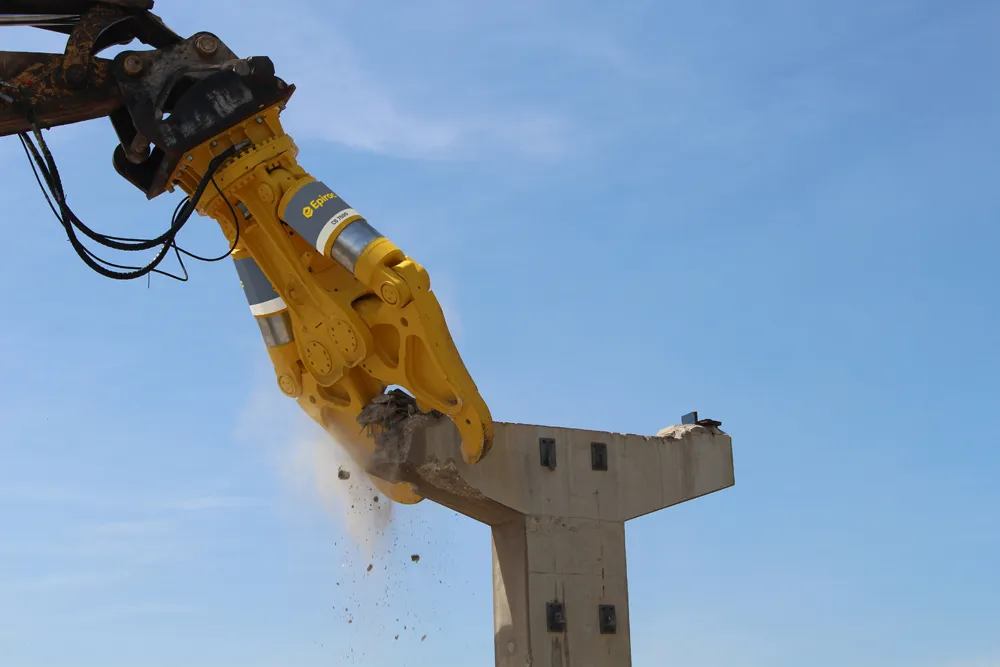
    Eprioc has introduced three new CB Concrete Busters for heavy foundation work and high reach demolition. Meanwhile, the firm’s sister company Erkat is now offering a new coupler system.
  • Trimble’s new package boosts piling accuracy; productivity
    October 1, 2014
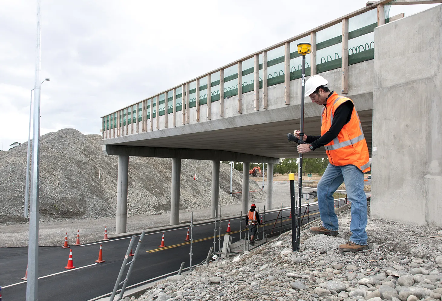
    Trimble is now offering a dedicated, land-based 3D machine control system for use with a variety of piling machine makes and models. The DPS900 Piling System is said to boost accuracy and allows piling contractors to increase efficiency, taking over from less accurate manual alignment techniques that also take more time for set-up procedures and increase the risk of errors. The firm says that the DPS900 system means contractors can take advantage of accurate positioning and automated reporting to ensure
  • A double portion of power and precision – New DYNAPAC F1250CS Plus Compact Paver & RC360 Remote
    July 1, 2023
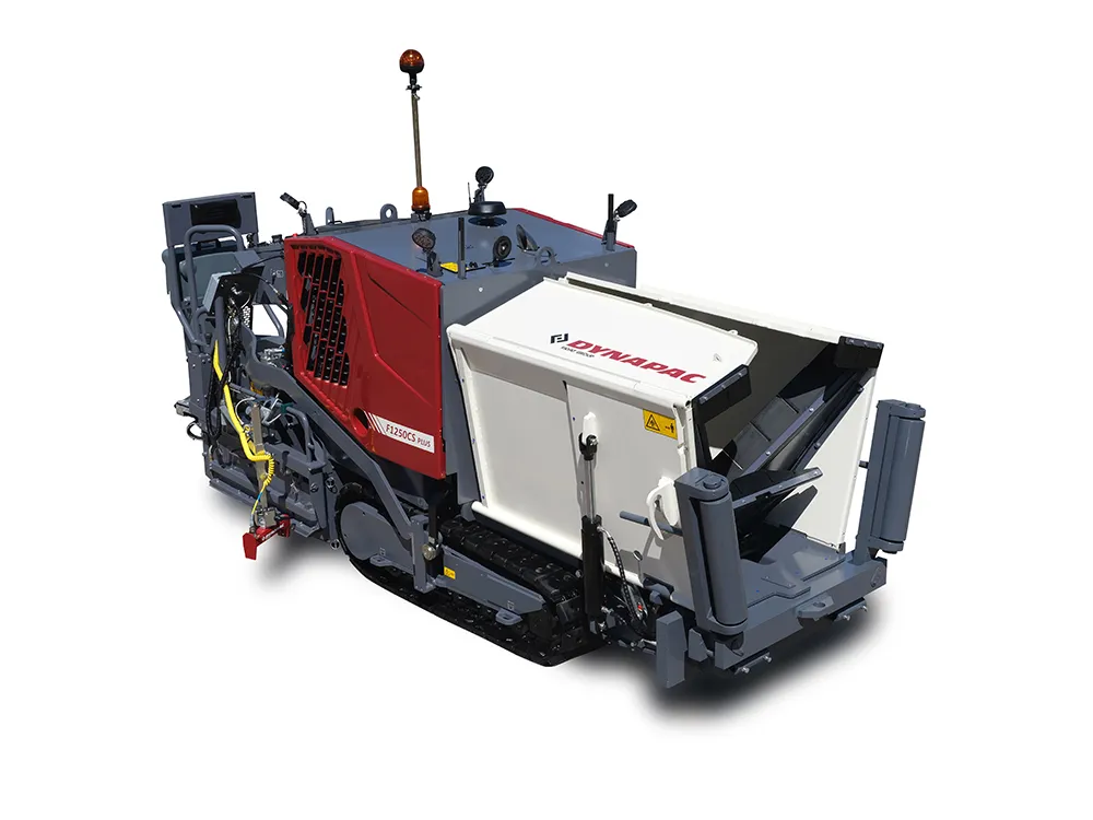
    Paving in urban areas comes with its own set of challenges and demands on machinery: tight spaces, weight limits, underground pipes, and old, exposed materials such as cobblestones require well-thought-out and innovative solutions. The popular Compact Paver F1250CS is now launched as a new model with a number of improvements as the Dynapac F1250CS Plus. The modifications to the previous model are aimed at even higher protection and comfort of the operator.
  • Trimble’s new solutions boost road building
    January 29, 2014
    Trimble is now offering a sophisticated package of solutions comprising hardware, software and mobility technologies. This streamlines communication and collaboration throughout the construction lifecycle, from planning, design and site preparation through to the finished project. Connecting sites delivers value across the entire project lifecycle, as real-time data gives contractors and stakeholders better information about material, people and asset utilisation for improved productivity.