Topcon announces increased integration with Autodesk scanning software

Topcon Positioning Group has announced increased integration in the Autodesk and Topcon reality data workflow that it says is designed to increase project efficiency. Raw scan data from the Topcon GLS-2000 laser scanner can now be taken directly into Autodesk ReCap 360 and ReCap 360 Pro with no intermediate software conversion steps necessary. Topcon said that this integration is designed to streamline point cloud analysis to quickly identify conflicts, measure variations and make adjustments at vari
June 2, 2016 Read time: 2 mins
342 Topcon Positioning Group has announced increased integration in the 685 Autodesk and Topcon reality data workflow that it says is designed to increase project efficiency.

Raw scan data from the Topcon GLS-2000 laser scanner can now be taken directly into Autodesk ReCap 360 and ReCap 360 Pro with no intermediate software conversion steps necessary.

Topcon said that this integration is designed to streamline point cloud analysis to quickly identify conflicts, measure variations and make adjustments at various stages of a construction project.

Charles Rihner, vice president of the Topcon GeoPositioning Solutions Group, said that the Topcon and Autodesk BIM solution, users can speed up the process by now directly importing their scan data into ReCap 360 and 360 Pro for every step of the point cloud process. This includes registration – but for Pro only - cleanup, indexing, segmentation and more. “Once in ReCap 360 or Pro, reality data captured with the Topcon GLS-2000 is ready for consumption in any Autodesk software solution such as AutoCAD, Revit, Inventor, Navisworks, Infraworks, and 3ds Max,” he said.

The system’s “Capture, Process and Collaborate” workflow is designed to allow users to get to the collaboration stage and offer their customers the value of the point cloud more quickly.

“With these new versions of ReCap 360 and Pro, our capture workflow is now even faster allowing our users to get more accurate data to and from the field faster than ever,” said Rihner.

Topcon Positioning Group designs, manufactures and distributes precise positioning products and solutions for the global surveying, construction, agriculture, civil engineering, BIM, mapping and GIS, asset management and mobile control markets. Its brands include Topcon, Sokkia, Tierra, Wachendorff Elektronik, Digi-Star, RDS Technology, NORAC and 2LS.

For more information on companies in this article

Related Content

  • Smarter compaction equipment from key manufacturers
    June 23, 2015
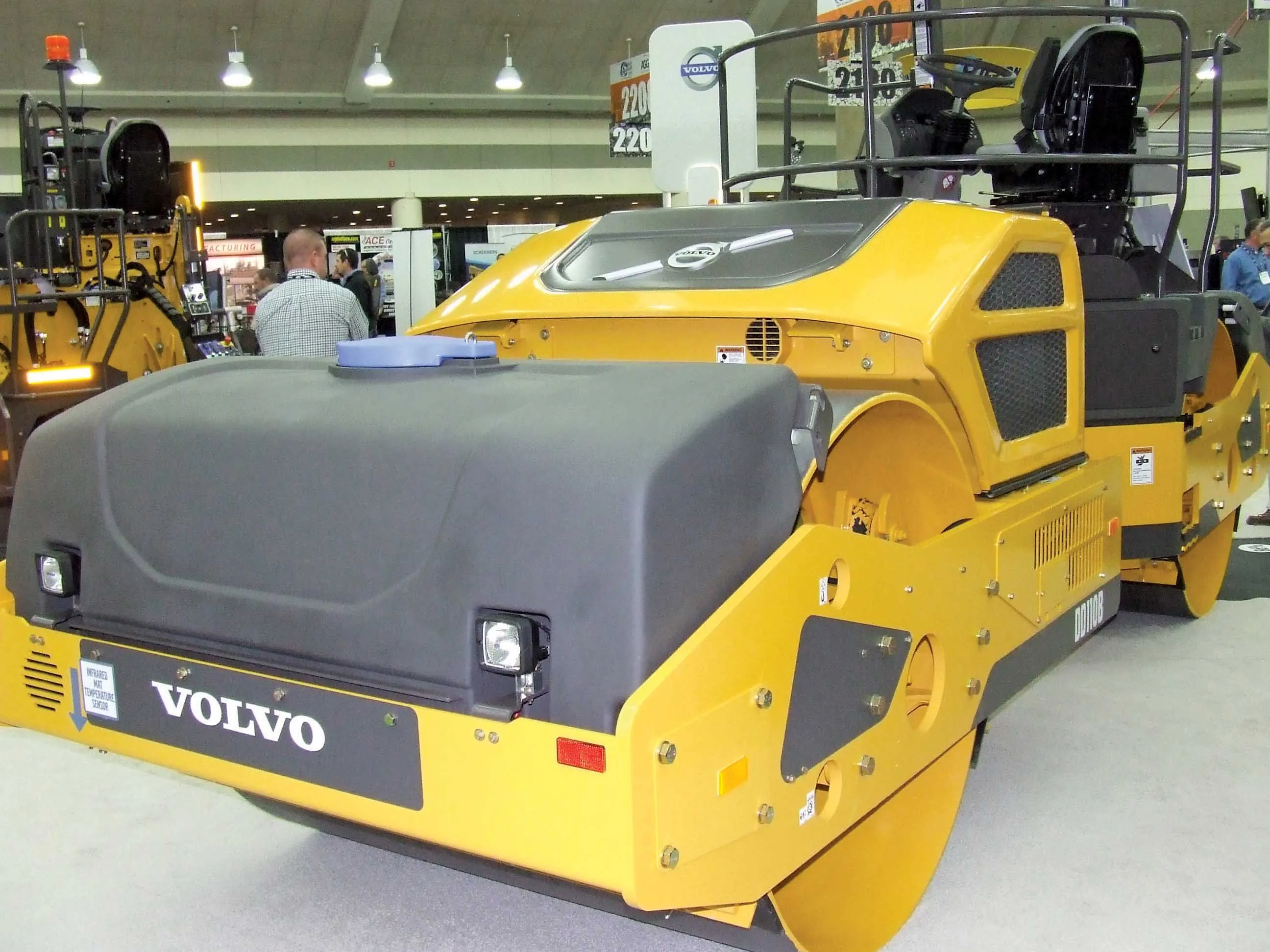
    Intelligent compaction technologies continue to advance in sophistication - Mike Woof writes Ever more sophisticated intelligent compaction technologies are being offered to customers, which can boost working efficiency and help improve construction quality. This is particularly the case for the compaction of asphalt running surfaces. Asphalt cooling leaves only a short time window during which a paved mat can be properly compacted, so intelligent compaction systems offer major gains for contractors and cli
  • Machine and machine control innovations in concrete paving
    June 28, 2013
    Machine innovations and machine control advances are the latest news in the concrete paving sector - Mike Woof reports. While machine control systems were pioneered in the concrete paving market, continuous refinement of the technologies is offering major improvements for customers. Customers have a choice now of more than one supplier while the packages are said to be more user-friendly than before. And in addition, the systems themselves can be more closely integrated into the machines due to advances mad
  • Florida and one.network in lane closure pilot
    August 30, 2022
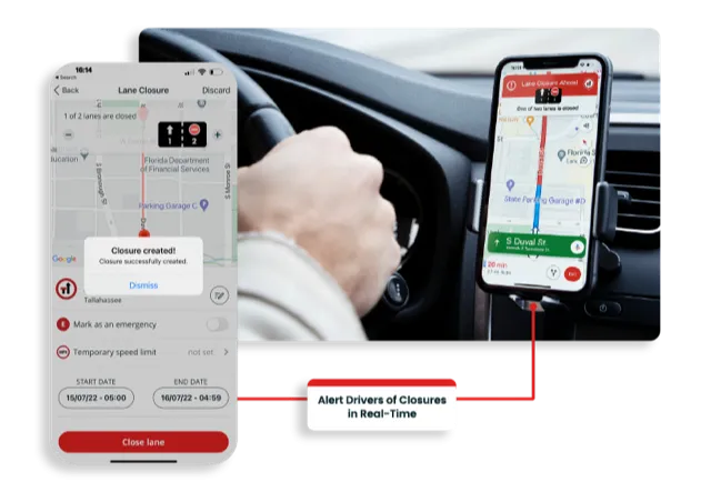
    The project will use Live Link, one.network's proprietary shared road management platform that connects with major GPS providers in the US.
  • Nottingham study of smart scanning detects early pothole signs
    May 11, 2015
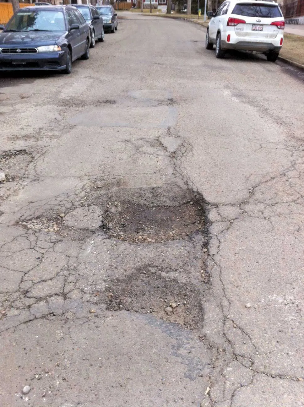
    Researchers at Nottingham Trent University in the UK are developing smart scanning technology using existing cameras to detect early signs of pothole development The technology scans roads for ravelling - the loss of aggregates from the asphalt which leads to potholes and cracks. Combined with 2D and 3D scanners on a pavement monitoring vehicle, a computer vision algorithm can examine the road with accuracy at traffic speed during day or night. The system works by detecting different textures of th