Topcon announces increased integration with Autodesk scanning software

Topcon Positioning Group has announced increased integration in the Autodesk and Topcon reality data workflow that it says is designed to increase project efficiency. Raw scan data from the Topcon GLS-2000 laser scanner can now be taken directly into Autodesk ReCap 360 and ReCap 360 Pro with no intermediate software conversion steps necessary. Topcon said that this integration is designed to streamline point cloud analysis to quickly identify conflicts, measure variations and make adjustments at vari
June 2, 2016 Read time: 2 mins
342 Topcon Positioning Group has announced increased integration in the 685 Autodesk and Topcon reality data workflow that it says is designed to increase project efficiency.

Raw scan data from the Topcon GLS-2000 laser scanner can now be taken directly into Autodesk ReCap 360 and ReCap 360 Pro with no intermediate software conversion steps necessary.

Topcon said that this integration is designed to streamline point cloud analysis to quickly identify conflicts, measure variations and make adjustments at various stages of a construction project.

Charles Rihner, vice president of the Topcon GeoPositioning Solutions Group, said that the Topcon and Autodesk BIM solution, users can speed up the process by now directly importing their scan data into ReCap 360 and 360 Pro for every step of the point cloud process. This includes registration – but for Pro only - cleanup, indexing, segmentation and more. “Once in ReCap 360 or Pro, reality data captured with the Topcon GLS-2000 is ready for consumption in any Autodesk software solution such as AutoCAD, Revit, Inventor, Navisworks, Infraworks, and 3ds Max,” he said.

The system’s “Capture, Process and Collaborate” workflow is designed to allow users to get to the collaboration stage and offer their customers the value of the point cloud more quickly.

“With these new versions of ReCap 360 and Pro, our capture workflow is now even faster allowing our users to get more accurate data to and from the field faster than ever,” said Rihner.

Topcon Positioning Group designs, manufactures and distributes precise positioning products and solutions for the global surveying, construction, agriculture, civil engineering, BIM, mapping and GIS, asset management and mobile control markets. Its brands include Topcon, Sokkia, Tierra, Wachendorff Elektronik, Digi-Star, RDS Technology, NORAC and 2LS.

For more information on companies in this article

Related Content

  • Manufacturers have developed key innovations in recycling machines
    March 4, 2015
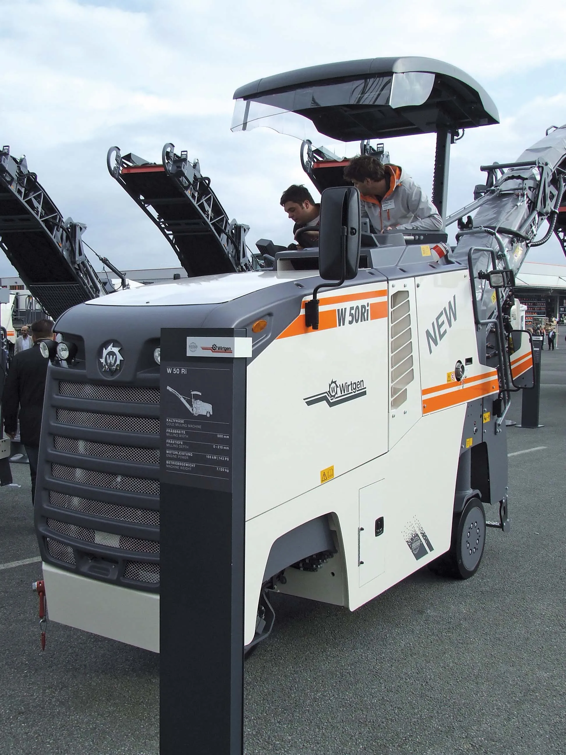
    Manufacturers are making advances in stabiliser/reclaimers and milling machines - Mike Woof reports. The market for milling equipment is a competitive one, with a range of companies from around the globe now offering machines for this segment: BOMAG, Caterpillar, Dynapac, Roadtec, Volvo CE and Wirtgen. In recent years a number of Chinese firms have entered this segment and determining the number of machines these companies manufacture is difficult, although most of their units are sold in China. But interna
  • Innovative utilities approach
    March 20, 2012
    An innovative approach to the management of utilities works is the result of a partnership that has produced the Intelligent Trench. This novel underground mapping solution is also being combined with PelicanCorp's beforeUdig service to deliver a comprehensive and accurate national record-sharing service for underground assets in the UK. The new no-charge service allows local authorities and contractors to use the Intelligent Trench portal to access utility plan information directly from the portal's data b
  • MOBA’s PAVE-IR system helps boost asphalt paving quality
    March 27, 2015
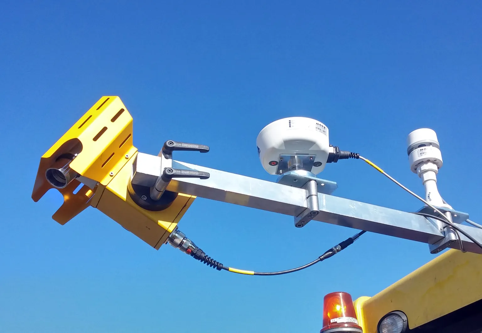
    The advanced PAVE-IR system from MOBA is said to help improve mat quality control during asphalt paving operations. This system is mounted on the paver and scans back and forth across the paving mat immediately behind the machine’s screed. Data on the thermal image of the mat is then displayed on a screen for the operator to see, as well as being recorded for documentation purposes and later analysis if required.
  • MOBA’s PAVE-IR system helps boost asphalt paving quality
    January 6, 2017
    The advanced PAVE-IR system from MOBA is said to help improve mat quality control during asphalt paving operations. This system is mounted on the paver and scans back and forth across the paving mat immediately behind the machine’s screed. Data on the thermal image of the mat is then displayed on a screen for the operator to see, as well as being recorded for documentation purposes and later analysis if required.