Technology event in Orlando

Leica Geosystems has opened its Hexagon 2011 technology event, which is running from 7-9 June.
February 28, 2012 Read time: 2 mins
265 Leica Geosystems has opened its Hexagon 2011 technology event, which is running from 7-9 June. Located in the Orlando World Center Marriot Resort in Orlando, Florida, Hexagon 2011 brings together the latest technologies and user communities from Leica Geosystems, Z/I Imaging, as well as Intergraph, and Hexagon Metrology. Juergen Dold, President, Hexagon Geosystems, and Ken Mooyman, President, Hexagon Geosystems NAFTA, will present the featured keynote address for the Geosystems at Hexagon 2011 track. Titled "Advancing Earth's Infrastructure with Measurement Technologies", the keynote provides an overview of how the portfolio of Leica Geosystems and Z/I Imaging solutions, combined with its customers' expertise, address key global challenges and associated macro-trends.

Attendees can learn how Geosystems solutions interface with and leverage Intergraph and Metrology solutions. "Hexagon 2011 unites a broad base of customers and partners from all over the world. These next few days provide an unique opportunity to showcase the synergies across various industries and the importance of measurement technologies in helping our customers meet some of the greatest challenges facing mankind today" said Mooyman.

The Geosystems at Hexagon 2011 track alone features more than 100 targeted breakout sessions tailored into three sub-tracks - "Trends in Mapping & Positioning for Government and Industry", "HDS/Laser Scanning", and "Geospatial Solutions"  incorporating hands-on training courses, previews of new technologies, interactive technical demonstrations and workshops, compelling customer testimonials from today's thought leaders and unlimited networking opportunities.

Employing the theme "Building a Smarter World," Hexagon 2011 emphasizes the ways in which Hexagon empowers organizations to build a smarter world through industry-specific technologies that make processes and infrastructures better, safer and smarter.

For more information on companies in this article

Related Content

  • Smarter compaction technology in use in Missouri
    October 2, 2018
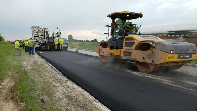
    Intelligent compaction and infrared scanning technologies have been used to improve construction quality The Missouri Department of Transportation (MoDOT) carried out a year-long project throughout 2017 to demonstrate the use of intelligent compaction (IC), infrared scanning (IR), and Veta software to improve pavement construction operations. “We were looking for ways to assess quality in asphalt projects,” said Bill Stone, research administrator at MoDOT. “We are working towards better pavements that l
  • An iCON of construction
    June 21, 2012
    Leica Geosystems has high hopes for iCON, described as its pioneering portfolio of tailor-made positioning and measuring solutions for construction professionals. Said to be more than a new product line and a software package, the iCON range consists of four elements. iCONstruct provides tailor-made hardware and software solutions for positioning and measuring tasks on site.
  • The 95 Express: managing mobility through ITS
    February 17, 2012
    Our series of profiles on winning projects from the 2010 Global Road Achievement Awards (GRAA) continues with the traffic management and intelligent transport systems (ITS) category, won by AECOM for its work on Florida's first managed lanes project
  • Going Digital helped the Government of Malaysia leverage digital twins to deliver trusted information for better project and asset management.
    March 30, 2020
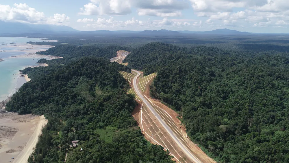
    In 2014, the government of Malaysia announced a plan to fully develop and upgrade the two-lane trunk road across Malaysia’s largest state, Sarawak, to accelerate socioeconomic growth in East Malaysia.