Trimble’s new georeferencing package

Trimble company Applanix is now offering the POSPac MMS 8 package, an advanced GNSSaided inertial post-processing software for georeferencing data. This information can be collected from cameras, LIDARs, multibeam sonars and other sensors on mobile platforms. Using the Trimble CenterPoint RTX subscription service with the RTX technology, POSPac MMS 8 is said to offer new capabilities for mobile mapping from land, air, marine and UAV platforms. It can offer centimetre-level accuracy within one hour aft
March 13, 2017 Read time: 2 mins
2122 Trimble company Applanix is now offering the POSPac MMS 8 package, an advanced GNSSaided inertial post-processing software for georeferencing data. This information can be collected from cameras, LIDARs, multibeam sonars and other sensors on mobile platforms.

Using the Trimble CenterPoint RTX subscription service with the RTX technology, POSPac MMS 8 is said to offer new capabilities for mobile mapping from land, air, marine and UAV platforms.

It can offer centimetre-level accuracy within one hour after data collection with just an internet connection. The firm says it can be used to map inaccessible regions that have no existing continuously operational reference stations (CORS) without the cost of deploying local base stations. It can also provide reliable uptime using Trimble’s professionally managed, highly maintained private network and automatically survey in dedicated base stations direct from POSPac: streamline map production work_ ow.

A key advance is the integration of the Trimble RTX technology into POSPac MMS. The package also includes several new features such as a tool to avoid reworking with separate QC software that can be commuted to the field for running quality control on the GNSS observations to ensure accurate specifications can be met before leaving the project area.

For more information on companies in this article

Related Content

  • Hexagon completes North West Geomatics acquisition
    June 11, 2014
    Hexagon, a leading global provider of design, measurement and visualisation technologies to a wide number of industries, including road construction and mining, has acquired the remaining 90% of shares in North West Geomatics, making the company a fully owned Hexagon subsidiary. North West Geomatics, also known as North West Group (North West), provides high-quality aerial mapping and related spatial data services to engineering and mapping firms, environmental consulting organisations and government agen
  • A competitive market
    August 2, 2012
    Competition is increasing in the earthmoving sectors, and for some companies market share is improving The wheeled loader market is becoming more competitive, with a number of firms now challenging the leading players, Caterpillar, Komatsu and Volvo. In other earthmoving product sectors such as excavators, companies such as Case, Doosan, Hyundai, JCB, Liebherr and Volvo are becoming more aggressive in terms of sales and are capturing market share. Case is gearing up its operations in Western Europe, Eastern
  • Precision pinpointing
    March 1, 2012
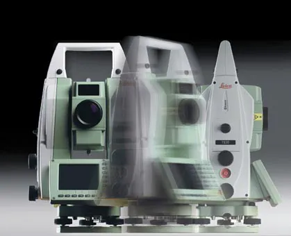
    Leica Geosystems says that its TS30 package is a new high precision Total Station that meets highest standards in all surveying applications. Distances can now be measured with Leica Geosystems' proven PinPoint EDM Technology with an unprecedented precision of 0.6mm + 1ppm on prisms. On natural surfaces a high accuracy of 2mm + 2ppm up to 1,000m can be achieved.
  • SaferAfrica Project discusses Data Collection in Africa
    July 5, 2018
    Members of the consortium of the EU-funded SaferAfrica project met in Athens on 24-27 April 2018 to discuss advancements and to present first results to the management board. IRF (Geneva) is a member of the consortium and shared its experience on data collection during the dedicated workshop held jointly with the management board. Representatives from the African Development Bank, UNECA, SSATP/World Bank, FIA, WHO, IRTAD, RU and PIARC were also present to address the issue of data in Africa and the specific