Trimble’s new georeferencing package

Trimble company Applanix is now offering the POSPac MMS 8 package, an advanced GNSSaided inertial post-processing software for georeferencing data. This information can be collected from cameras, LIDARs, multibeam sonars and other sensors on mobile platforms. Using the Trimble CenterPoint RTX subscription service with the RTX technology, POSPac MMS 8 is said to offer new capabilities for mobile mapping from land, air, marine and UAV platforms. It can offer centimetre-level accuracy within one hour aft
March 13, 2017 Read time: 2 mins
2122 Trimble company Applanix is now offering the POSPac MMS 8 package, an advanced GNSSaided inertial post-processing software for georeferencing data. This information can be collected from cameras, LIDARs, multibeam sonars and other sensors on mobile platforms.

Using the Trimble CenterPoint RTX subscription service with the RTX technology, POSPac MMS 8 is said to offer new capabilities for mobile mapping from land, air, marine and UAV platforms.

It can offer centimetre-level accuracy within one hour after data collection with just an internet connection. The firm says it can be used to map inaccessible regions that have no existing continuously operational reference stations (CORS) without the cost of deploying local base stations. It can also provide reliable uptime using Trimble’s professionally managed, highly maintained private network and automatically survey in dedicated base stations direct from POSPac: streamline map production work_ ow.

A key advance is the integration of the Trimble RTX technology into POSPac MMS. The package also includes several new features such as a tool to avoid reworking with separate QC software that can be commuted to the field for running quality control on the GNSS observations to ensure accurate specifications can be met before leaving the project area.

For more information on companies in this article

Related Content

  • Smarter compaction technology in use in Missouri
    October 2, 2018
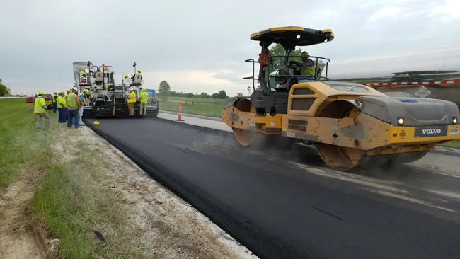
    Intelligent compaction and infrared scanning technologies have been used to improve construction quality The Missouri Department of Transportation (MoDOT) carried out a year-long project throughout 2017 to demonstrate the use of intelligent compaction (IC), infrared scanning (IR), and Veta software to improve pavement construction operations. “We were looking for ways to assess quality in asphalt projects,” said Bill Stone, research administrator at MoDOT. “We are working towards better pavements that l
  • Benninghoven burners EVO JET
    March 1, 2025
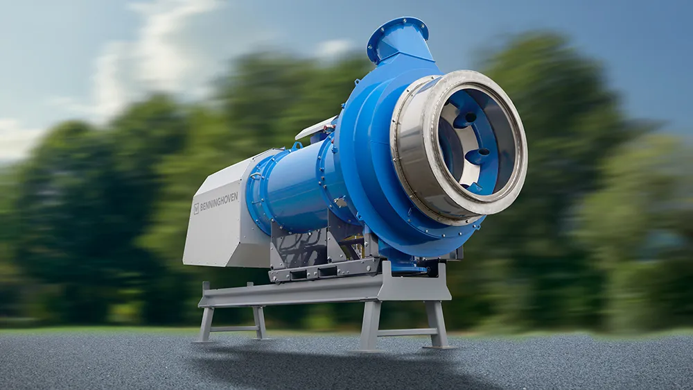
    Benninghoven is a world market leader in burners for asphalt mixing plants and a manufacturer of multi-fuel burners with up to 4 fuels. The complete know-how and wealth of experience from over 70 years of burner competence support the development of unique burners with excellent properties.
  • Machine control brings accuracy to US paving job
    November 2, 2012
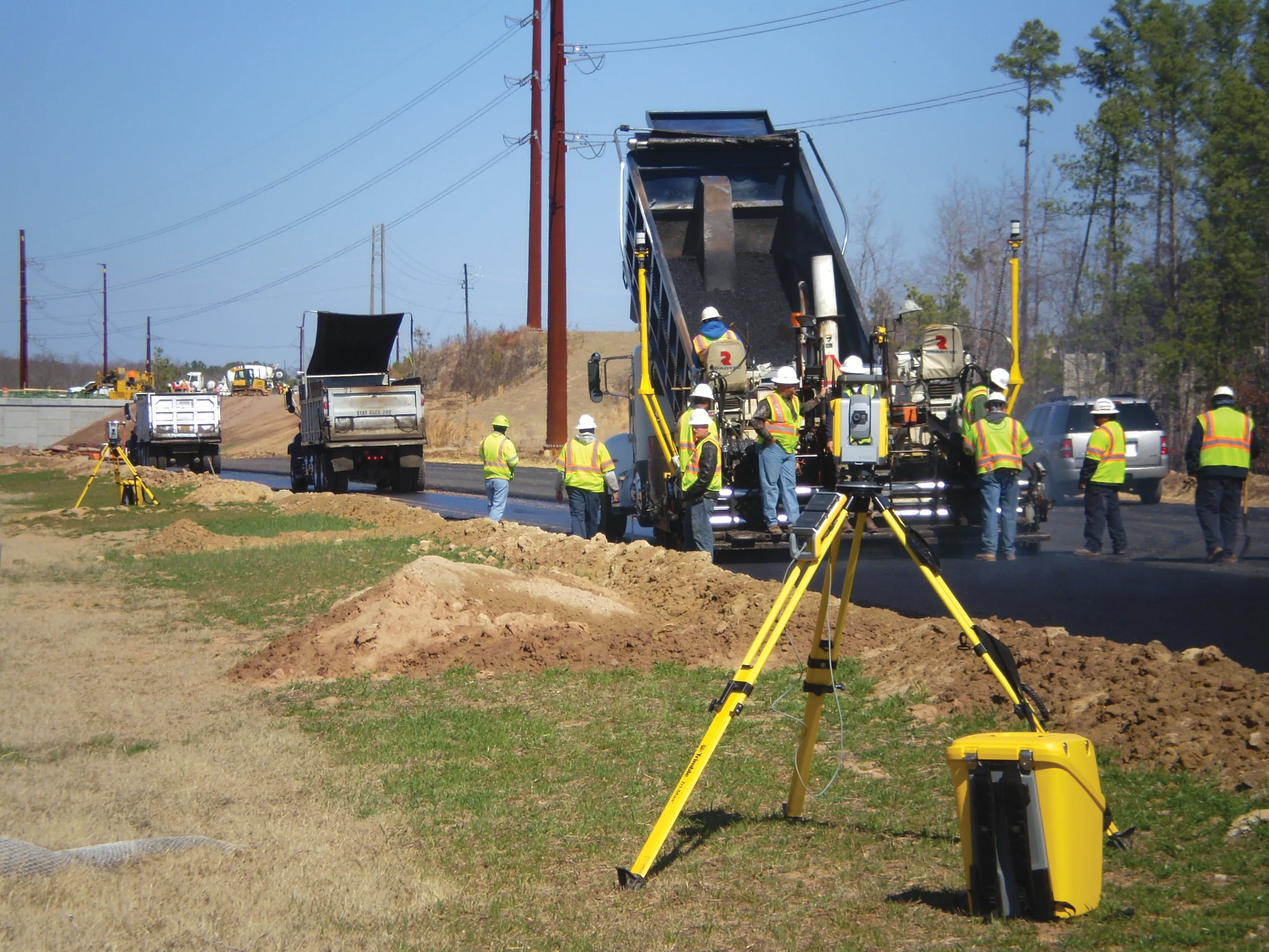
    The historic city of Raleigh in North Carolina is one of the few cities in the US that was planned and built specifically to serve as a state capital and its population and traffic volume have grown enormously in recent years An indicator of Raleigh's growth has been the need for an expanded roadway system to serve Wake County. As early as the 1970s there were plans for a Western Wake Expressway. This developed into a 112km, interstate-grade beltway, known as the Raleigh Outer Loop, which will encompass Ral
  • Efficient surveying
    February 10, 2012
    According to Spectra Precision, its latest outdoor data collectors can optimise surveying operations. The sophisticated Ranger 3 data collector series and the Nomad 900 series are designed to operate with Spectra Precision Survey Pro field software and offer advanced surveying capabilities. Spectra Precision now offers three Ranger 3 models, the 3L, 3XC and 3RC. These data collectors come standard with an 800MHz processor, 256MB of memory, a full VGA display, integrated Bluetooth, GPS, compass and 802.11 Wi