Trimble’s new georeferencing package

Trimble company Applanix is now offering the POSPac MMS 8 package, an advanced GNSSaided inertial post-processing software for georeferencing data. This information can be collected from cameras, LIDARs, multibeam sonars and other sensors on mobile platforms. Using the Trimble CenterPoint RTX subscription service with the RTX technology, POSPac MMS 8 is said to offer new capabilities for mobile mapping from land, air, marine and UAV platforms. It can offer centimetre-level accuracy within one hour aft
March 13, 2017 Read time: 2 mins
2122 Trimble company Applanix is now offering the POSPac MMS 8 package, an advanced GNSSaided inertial post-processing software for georeferencing data. This information can be collected from cameras, LIDARs, multibeam sonars and other sensors on mobile platforms.

Using the Trimble CenterPoint RTX subscription service with the RTX technology, POSPac MMS 8 is said to offer new capabilities for mobile mapping from land, air, marine and UAV platforms.

It can offer centimetre-level accuracy within one hour after data collection with just an internet connection. The firm says it can be used to map inaccessible regions that have no existing continuously operational reference stations (CORS) without the cost of deploying local base stations. It can also provide reliable uptime using Trimble’s professionally managed, highly maintained private network and automatically survey in dedicated base stations direct from POSPac: streamline map production work_ ow.

A key advance is the integration of the Trimble RTX technology into POSPac MMS. The package also includes several new features such as a tool to avoid reworking with separate QC software that can be commuted to the field for running quality control on the GNSS observations to ensure accurate specifications can be met before leaving the project area.

For more information on companies in this article

Related Content

  • Topcon launches new subscription based web services
    August 17, 2012
    Topcon has restructured its GNSS network business and global GNSS services, offering new and informative web resources for users. TopNET is said to offer subscription based, real-time GNSS network RTK and DGNSS subscriptions, with high quality GPS and GLONASS correction data, as well as all future GNSS signals, for many different applications; including surveying, construction, GIS mapping, machine control, and precision agriculture.
  • GSSI offers bridge monitoring tool
    May 19, 2015
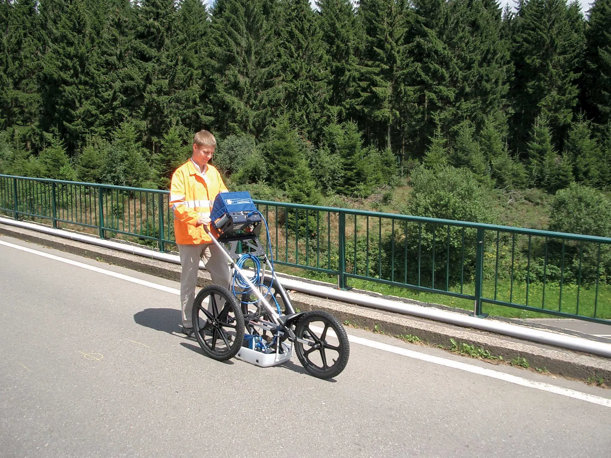
    GSSI is introducing the sophistictaed BridgeScan condition assessment system. This package is used for concrete inspection and utility mapping of bridges. Said to be both affordable and versatile, this ground penetrating radar (GPR) equipment can be used to assess concrete condition on bridge decks, as well as parking structures. Using this unit offers accurate assessments of concrete condition, which improves repair cost estimation and saves time and money. With BridgeScan, identification of rebar
  • Optimising paving processes with Topcon
    November 21, 2019
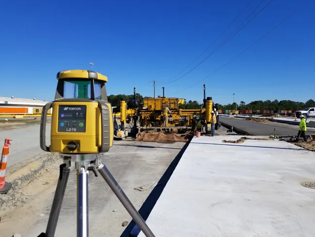
    The use of sophisticated machine control technology is integral to delivering high quality and productivity for concrete paving operations
  • Innovations in earthmoving
    May 13, 2024
    New innovations for the crawler excavator market will boost productivity as well as sustainability – Mike Woof writes