Topcon’s sophisticated drone offering

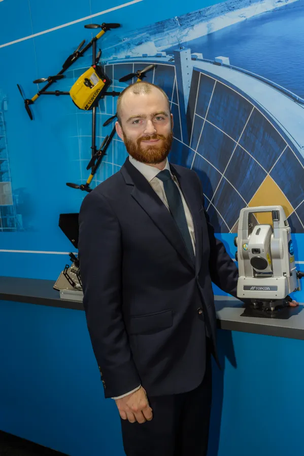
The sophisticated drone models offered by Topcon Positioning have been made available through the firm’s partnership with Intel. These highly-advanced units are available in fixed wing or rotary versions, with features including triple redundancy to ensure reliability and prevent failures. The units feature high resolution cameras, which offer accurate and comprehensive datasets for photogrammetry work. Chris Emery, Topcon’s business manager monitoring solutions, Europe said: “You get swathes of data for
April 26, 2018 Read time: 1 min
Topcon’s drone range offers accurate data gathering

The sophisticated drone models offered by 342 Topcon Positioning have been made available through the firm’s partnership with Intel. These highly-advanced units are available in fixed wing or rotary versions, with features including triple redundancy to ensure reliability and prevent failures.

The units feature high resolution cameras, which offer accurate and comprehensive datasets for photogrammetry work. Chris Emery, Topcon’s business manager monitoring solutions, Europe said: “You get swathes of data for as-built or verification purposes.”

Combined with new analytical tools, this technology means that there is no longer a need to send personnel into high-risk working areas. Data can be quickly collected, analysed and used, for example, in the evaluation of real-time progress on construction operations or producing stockpile reports.

For more information on companies in this article

Related Content

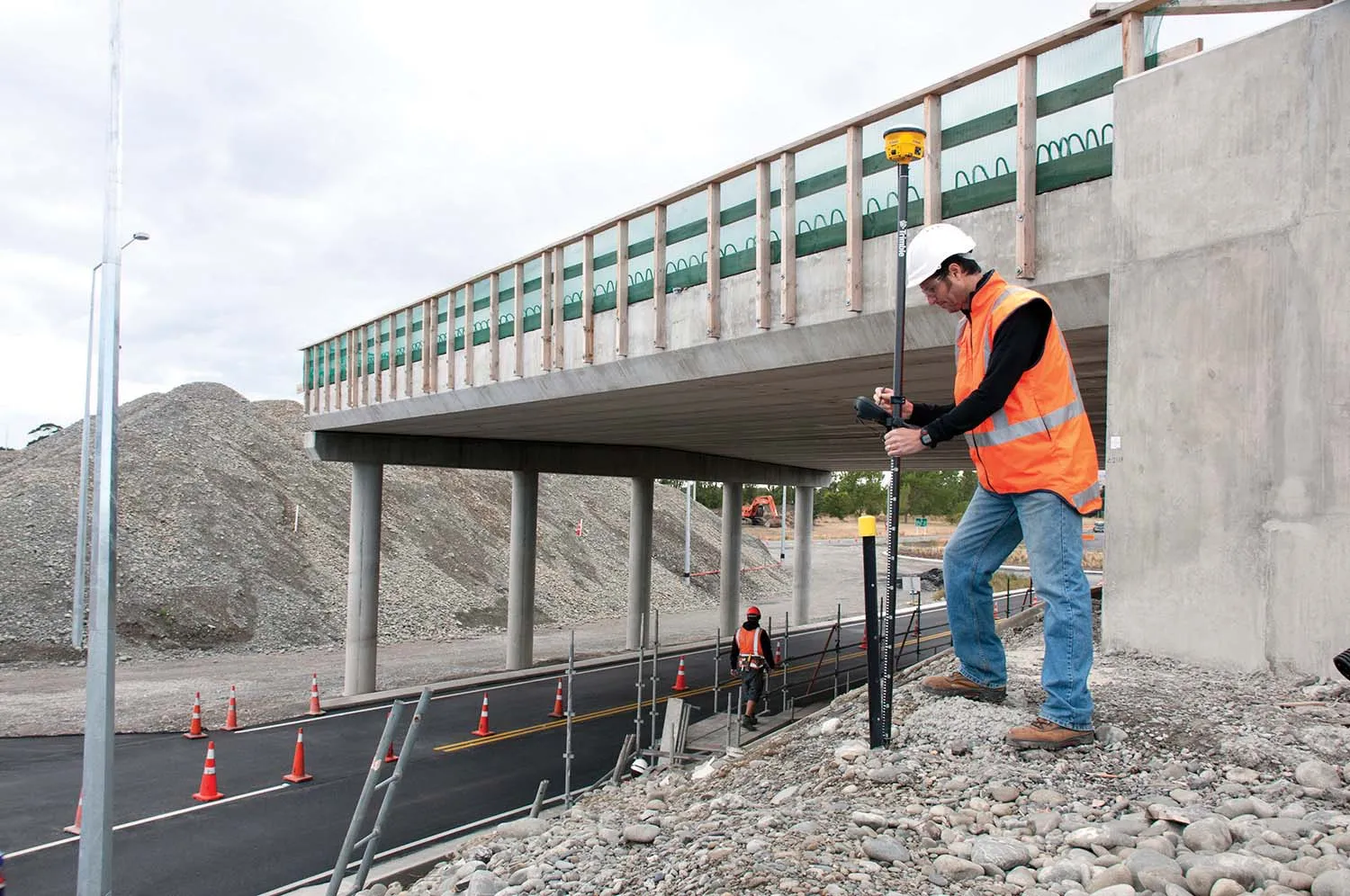
  • Trimble technology centre stage at CONEXPO-CON/AGG 2014
    March 27, 2014
    The Trimble Quantm alignment planning system, on show at CONEXPO/CON-AGG 2014, allows road designers to cut planning time and deliver projects with little environmental and social impact at a reduced cost. The system analyses millions of alignment alternatives and returns a range of options to the planning team for consideration. When new data becomes available the Quantm system can quickly recalculate more alignment options.
  • Sophisticated scanning from Topcon
    August 13, 2019
    Topcon Positioning Group is introducing a new generation of scanning robotic total stations. The firm’s new the GTL-1000 is a compact scanner integrated with a fully featured robotic total station. The firm says that the system is designed to offer a powerful instrument for single-operator layout and scan on a single set up. Combined with the ClearEdge3D Verity package, it offers effective construction verification workflows. The instrument includes a complete robotic total station with layout functionalit
  • Paving smarter with LeeBoy equipment
    April 20, 2018
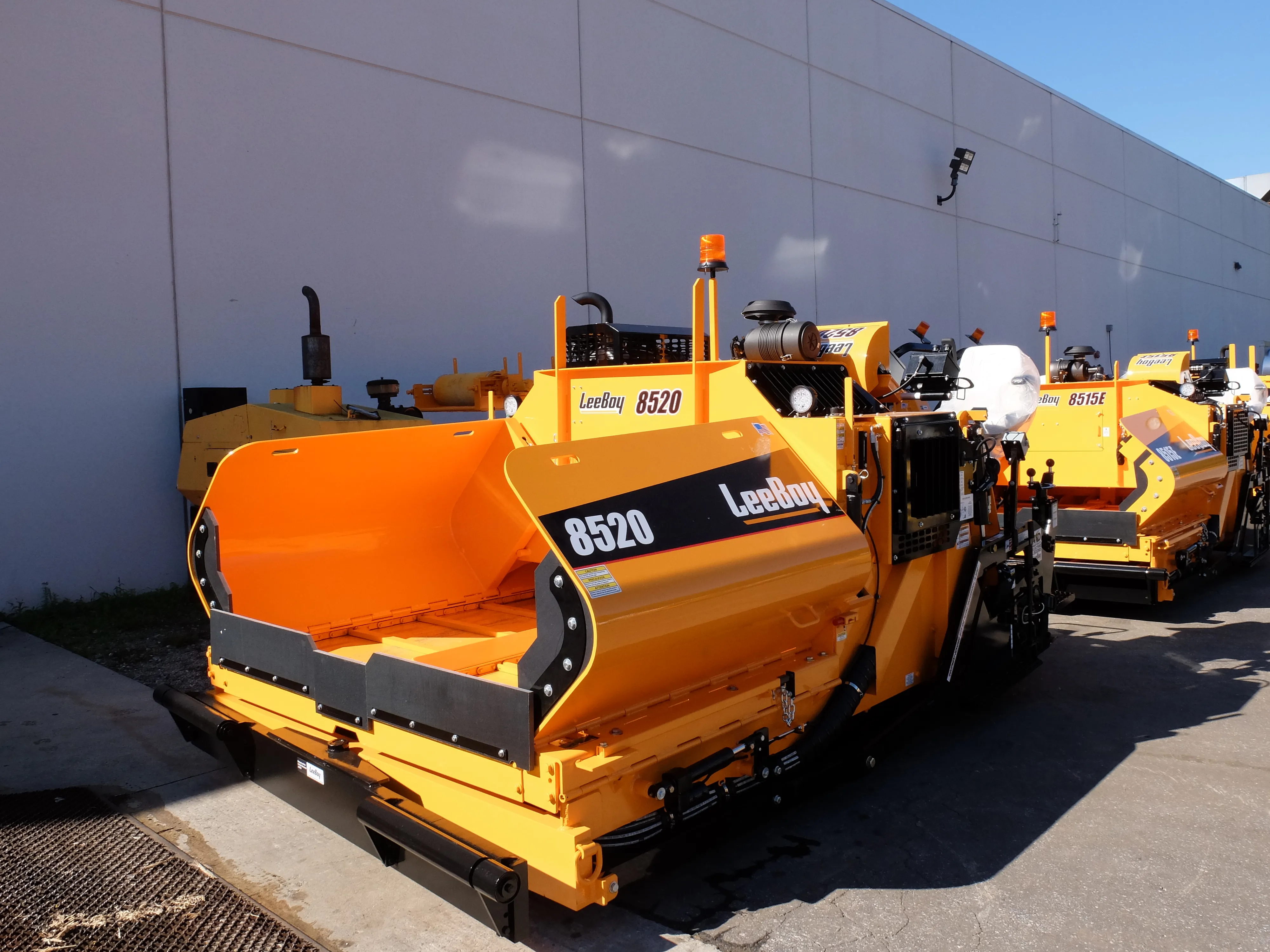
    A highway widening project in the US state of New Hampshire is being assisted by the use of a gravity-fed asphalt paver. The widening work is being carried out as part of an upgrade for a 32km stretch of I-93, which was started eight years ago. The work is being carried out for the New Hampshire Department of Transportation (NHDOT) on a section of the highway between Exits 1 and 5 from the Massachusetts Stateline to Manchester, NH. According to NHDOT, the project involves widening I-93 from two lanes in
  • Topcon offers compact digital imaging solution
    February 2, 2015
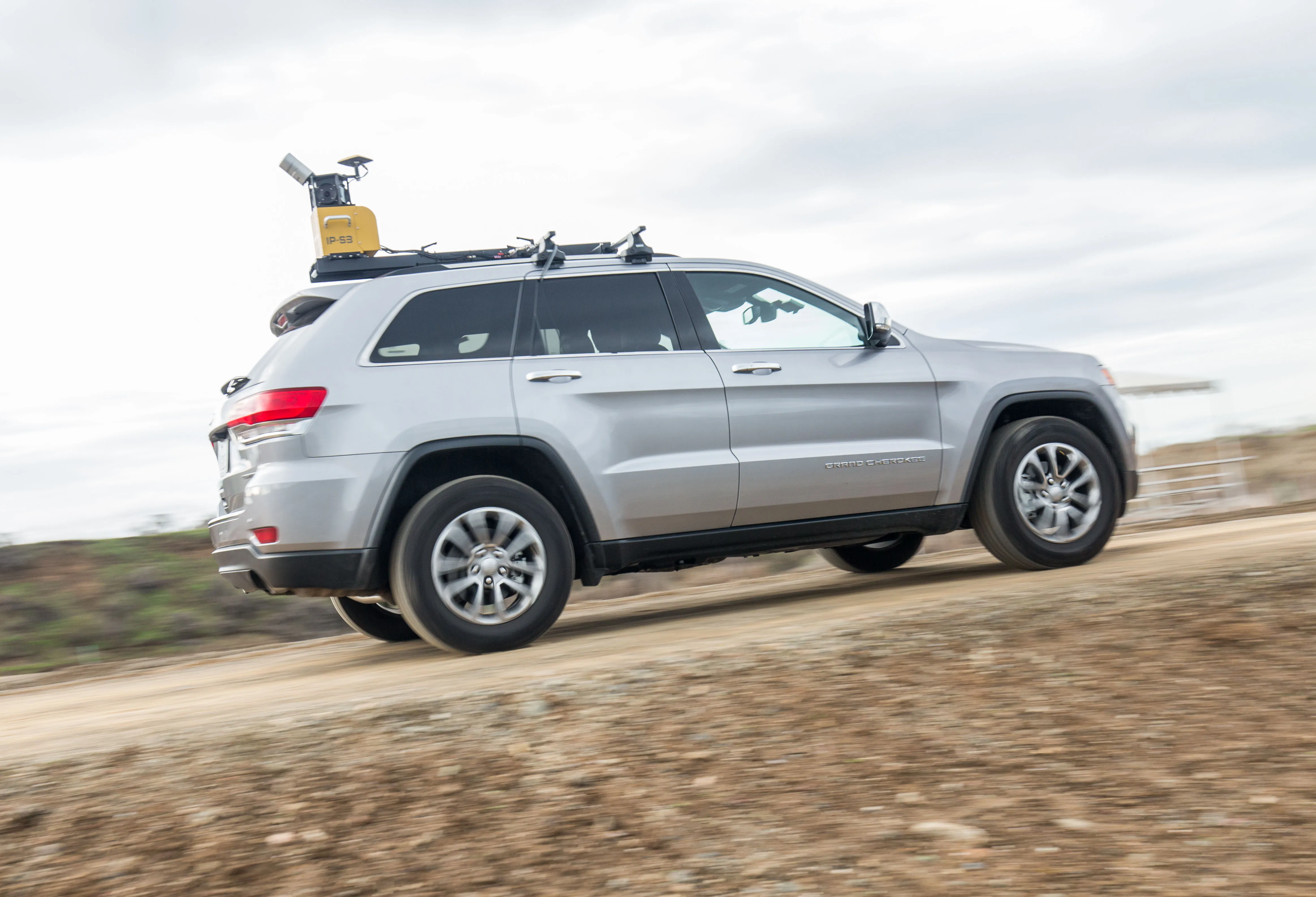
    Topcon claims that its new IP-S3 system offers a compact and lightweight 3D imaging solution. This high density system is said to be five times faster than previous generation tools, while weighing in at just 18kg. Scanning at 700,000 points/second, the system is said to offer data-rich results with its 30MP panoramic imagery and offers a mobile mapping powerhouse, according to the firm. The company says that this high-density and high-resolution camera comes in a unit that is much smaller than its predeces