Surveying accurately

Spectra Precision says that its EPOCH 35 system benefits from the latest GPS and GLONASS technology to provide accurate cadastral, topographic, control and stakeout survey applications. Said to be reliable and cost-effective, the EPOCH 35 GNSS system includes a base, rover, field software, data collector, and radio. The rover features integrated Bluetooth capability, an internal radio modem and battery. For North America, the system operates with the proven TDS Survey Pro field software while for other mark
July 18, 2012 Read time: 1 min
Riegl's sophisticated V-Line range includes interfaces for GPS, networking and mobile operation together with high precision time stamping
2373 Spectra Precision says that its EPOCH 35 system benefits from the latest GPS and GLONASS technology to provide accurate cadastral, topographic, control and stakeout survey applications. Said to be reliable and cost-effective, the EPOCH 35 GNSS system includes a base, rover, field software, data collector, and radio. The rover features integrated Bluetooth capability, an internal radio modem and battery. For North America, the system operates with the proven TDS Survey Pro field software while for other markets, the system runs the Spectra Precision Field Surveyor package. For RTK surveying, the base system can include a choice of radio modems with either a long or short range data link from the base to the rover. In addition, Network RTK is also supported by simply connecting to an external data-capable cellular modem. Back at the office, surveyors can use the Spectra Precision Office Software for post-processing and quality control.

For more information on companies in this article

Related Content

  • Klimator to monitor Swedish road conditions
    September 14, 2022
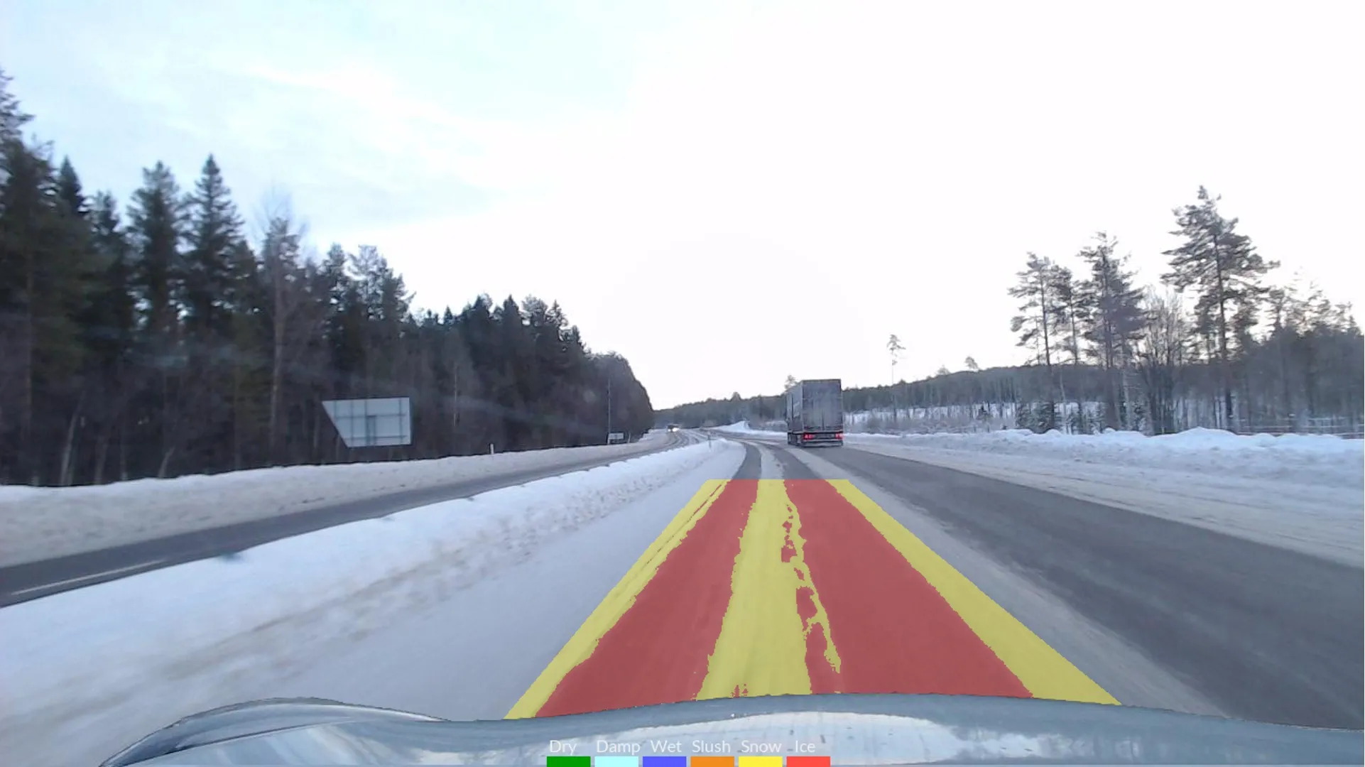
    The project will use Klimator's detection technology called AHEAD which will combine with friction information from floating car data – FCD - to improve the understanding and interpretation of FCD on multiple lanes during winter.
  • Efficient road traffic management for large-scale sporting events
    October 25, 2022
    Modern road networks require a significant amount of infrastructure to function, from the roads themselves to signage, as well as other assets that are needed to keep things running. Throw in the digitisation of road networks and infrastructure requirements will significantly increase, especially when it comes to the introduction of connected (“internet-of-things”) devices and an array of sensor systems required for road monitoring.
  • Topcon’s PS-AS series to “set a new industry standard” for robotic total stations
    January 6, 2017
    Topcon Europe Positioning’s (TEP) new auto-tracking robotic total station series for the construction market on show at bauma 2013 will “set a new industry standard”, according to Leighton Davies, the company’s survey products sales manager for Europe. With what is said to be its combination of the latest tracking, motorised turning, angle accuracy and software technology, the new PS-AS series instruments are designed for applications such as stakeout and as a key component of a Local Positioning System, us
  • Topcon’s PS-AS series to “set a new industry standard” for robotic total stations
    January 30, 2013
    Topcon Europe Positioning’s (TEP) new auto-tracking robotic total station series for the construction market on show at bauma 2013 will “set a new industry standard”, according to Leighton Davies, the company’s survey products sales manager for Europe. With what is said to be its combination of the latest tracking, motorised turning, angle accuracy and software technology, the new PS-AS series instruments are designed for applications such as stakeout and as a key component of a Local Positioning System, us