Surveying accurately

Spectra Precision says that its EPOCH 35 system benefits from the latest GPS and GLONASS technology to provide accurate cadastral, topographic, control and stakeout survey applications. Said to be reliable and cost-effective, the EPOCH 35 GNSS system includes a base, rover, field software, data collector, and radio. The rover features integrated Bluetooth capability, an internal radio modem and battery. For North America, the system operates with the proven TDS Survey Pro field software while for other mark
July 18, 2012 Read time: 1 min
Riegl's sophisticated V-Line range includes interfaces for GPS, networking and mobile operation together with high precision time stamping
2373 Spectra Precision says that its EPOCH 35 system benefits from the latest GPS and GLONASS technology to provide accurate cadastral, topographic, control and stakeout survey applications. Said to be reliable and cost-effective, the EPOCH 35 GNSS system includes a base, rover, field software, data collector, and radio. The rover features integrated Bluetooth capability, an internal radio modem and battery. For North America, the system operates with the proven TDS Survey Pro field software while for other markets, the system runs the Spectra Precision Field Surveyor package. For RTK surveying, the base system can include a choice of radio modems with either a long or short range data link from the base to the rover. In addition, Network RTK is also supported by simply connecting to an external data-capable cellular modem. Back at the office, surveyors can use the Spectra Precision Office Software for post-processing and quality control.

For more information on companies in this article

Related Content

  • Automatic control
    February 7, 2012
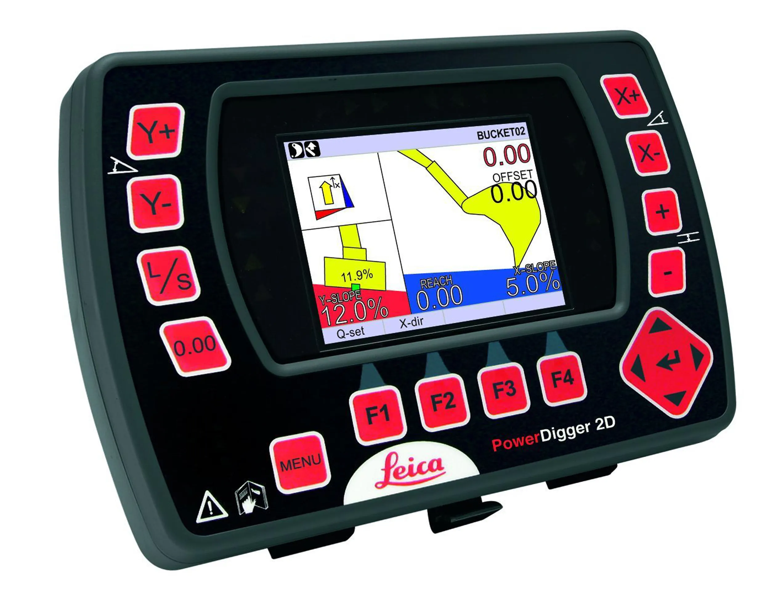
    Leica Geosystems says that sophisticated PowerDigger 2D guidance system for excavators offers automatic slope control. The system expands on its PowerSnap technology and is said to make excavating easier and more productive. The system uses a standard panel whether fitted to a dozer, excavator or grader, which is also said to save money on training and equipment, as well as reducing down time. Leica PowerDigger 2D system allows multiple elevations and slopes to be constructed at any orientation, witho
  • Bentley developing software portfolio with new acquisition
    January 14, 2015
    Software specialist Bentley Systems continues to develop its engineering software portfolio, this time with the acquisition of the UK-based firm C3global. This move brings Bentley the web-based Amulet software for operational analytics. From a product portfolio perspective, it complements Bentley’s AssetWise platform, which serves configuration management, asset health monitoring, inspection, maintenance, and compliance for infrastructure assets. The move means AssetWise will deliver additional actionable i
  • Florida gets one.network closure
    November 14, 2022
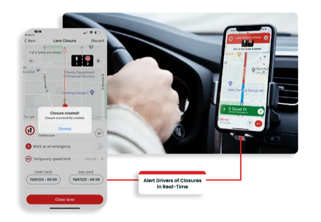
    Road crews in the US state of Florida can now post lane closure information to GPS providers from their mobile phones while working on site
  • A new road maintenance approach developed jointly can improve efficiency
    April 11, 2013
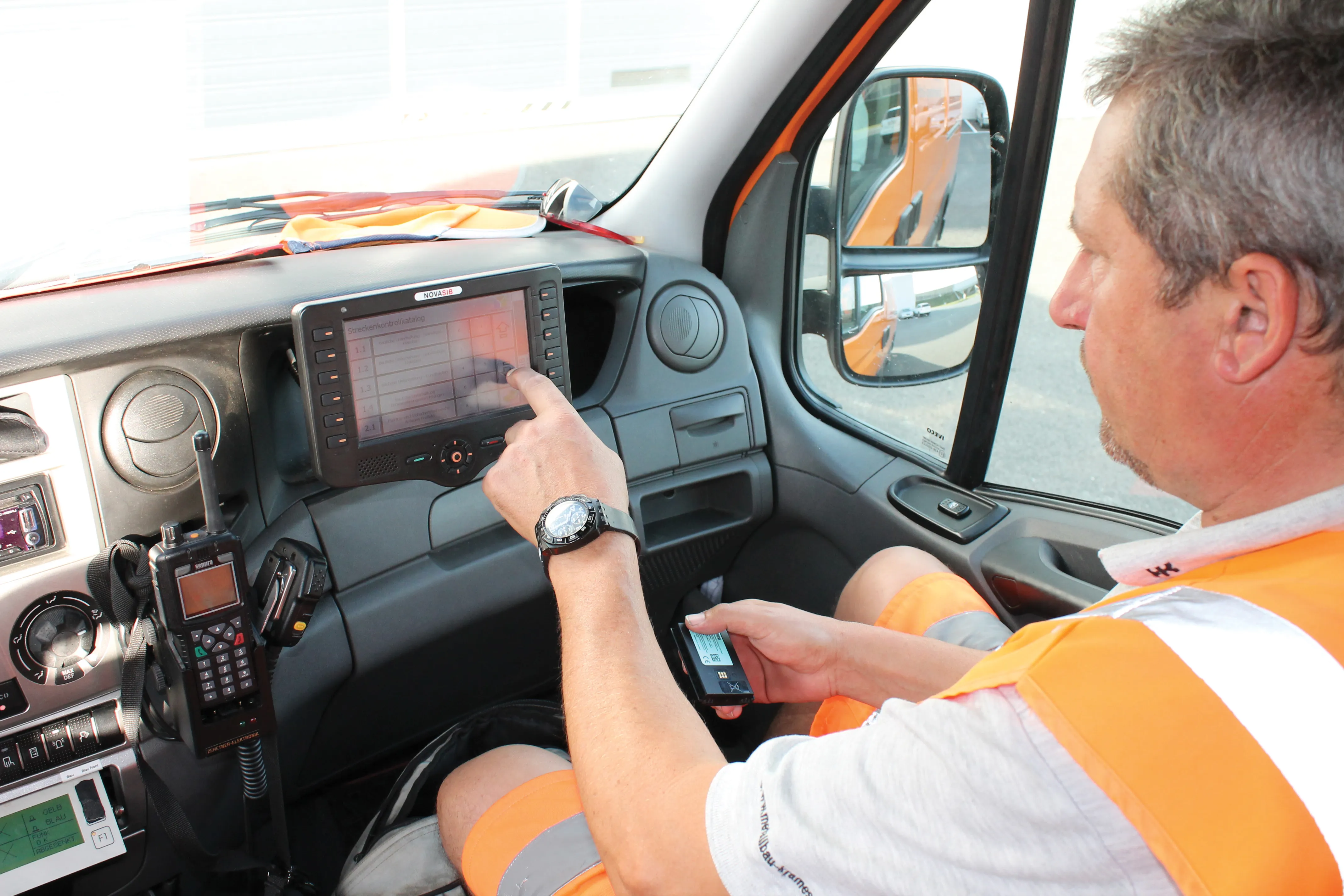
    Innovative road maintenance solutions in Austria. A sophisticated system for managing maintenance tasks has been developed in Austria to meet the specific needs of a highway concession package. Bonaventura Straßenerhaltungs-GmbH is a 100%-owned business of the French company Egis Road Operation S.A., and was founded to provide the road maintenance services of the first Austrian PPP infrastructure project "Ypsilon"(PPP-Ostregion, Paket 1) granted by ASFINAG. The concessionaire won a 30-year contract in 2006