Surveying accurately

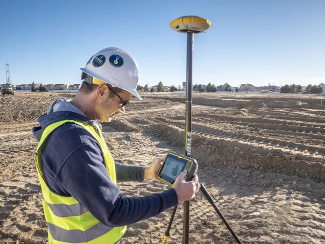
Spectra Precision says that its EPOCH 35 system benefits from the latest GPS and GLONASS technology to provide accurate cadastral, topographic, control and stakeout survey applications. Said to be reliable and cost-effective, the EPOCH 35 GNSS system includes a base, rover, field software, data collector, and radio. The rover features integrated Bluetooth capability, an internal radio modem and battery. For North America, the system operates with the proven TDS Survey Pro field software while for other mark
July 18, 2012 Read time: 1 min
Riegl's sophisticated V-Line range includes interfaces for GPS, networking and mobile operation together with high precision time stamping
2373 Spectra Precision says that its EPOCH 35 system benefits from the latest GPS and GLONASS technology to provide accurate cadastral, topographic, control and stakeout survey applications. Said to be reliable and cost-effective, the EPOCH 35 GNSS system includes a base, rover, field software, data collector, and radio. The rover features integrated Bluetooth capability, an internal radio modem and battery. For North America, the system operates with the proven TDS Survey Pro field software while for other markets, the system runs the Spectra Precision Field Surveyor package. For RTK surveying, the base system can include a choice of radio modems with either a long or short range data link from the base to the rover. In addition, Network RTK is also supported by simply connecting to an external data-capable cellular modem. Back at the office, surveyors can use the Spectra Precision Office Software for post-processing and quality control.

For more information on companies in this article

Related Content

  • Integrated corridor management offers transportation efficiency
    May 28, 2013
    In the Intelligent Transportation Systems world, the concept of managing roadway or transportation corridors is not new. Smart Corridor concepts have existed for some time, such as the Santa Monica Smart Corridor system from the 1990s. Across the world, a new emerging model for operating roadway transportation networks called integrated corridor management (ICM) has emerged. This is particularly true in California, where several new ICM projects have or are being deployed. There is a new paradigm for corrid
  • Leica Geosystems new machine control tool
    February 7, 2017
    Leica Geosystems is aiming to improve compaction quality with its new machine control tool. The Leica iCON roller package can deliver benefits to both compaction quality and productivity. The package provides the compactor operator with an on-screen visualisation of completed passes, displaying where they have occurred and where more are needed for consistent results. The different colours on the display show the operator where work has been carried and to what degree. Using this system means that costly
  • Trimble's ruggedised tablet for site use
    May 15, 2019
    Trimble is now offering its T7 Tablet, a rugged, lightweight and versatile device for construction surveying applications. The unit features the Trimble Siteworks Software for construction surveying, allowing it to provide real-time data to visualise cut/fill levels, calculate material volumes, check grade and communicate work orders. This can allow users to to improve productivity and decision-making. Scott Crozier, general manager for Trimble’s Civil Engineering and Construction Division said, “Surveyors
  • Tolling innovation
    January 4, 2013
    Leading European tolling solution companies are involved in a number of innovative tolling projects across the continent and further afield. Guy Woodford looks at some of the latest Siemens Mobility & Logistics (SML) has received orders from Eurotoll and Total, two of France’s largest electronic toll on-board unit issuers, to supply technology for the new French toll collection system. The equipment comprises on-board units for the vehicles as well as the electronic detection system. The SML orders’, worth