Satellites for site safety

Mobexx is offering a satellite communications capability for its Mentor Ranger in-vehicle computer intended to improve lone worker safety. The system switches automatically between cellular and satellite networks depending on the available coverage. This package is said to maximise connectivity between site personnel and the office, providing improved monitoring and communication whenever they are operating in high risk situations or isolated sites. The new satellite interface allows the Work Alone system t
February 10, 2012 Read time: 2 mins
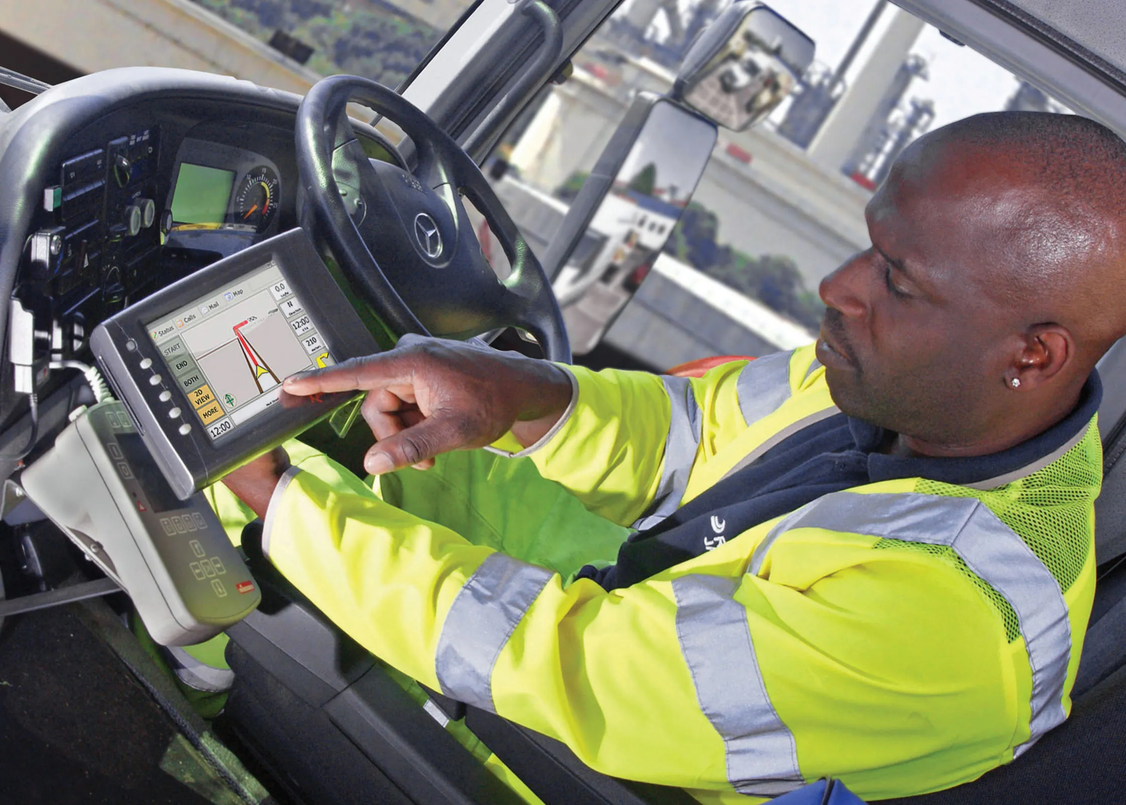
Remote worker safety is improved according to Mobexx when using its latest system
2554 Mobexx is offering a satellite communications capability for its Mentor Ranger in-vehicle computer intended to improve lone worker safety. The system switches automatically between cellular and satellite networks depending on the available coverage. This package is said to maximise connectivity between site personnel and the office, providing improved monitoring and communication whenever they are operating in high risk situations or isolated sites. The new satellite interface allows the Work Alone system to operate in either cellular or satellite mode. The system uses the global Iridium satellite network. Companies can use the Work-Alone system for live monitoring of mobile engineers and their vehicles on computer screen. This gives information for each vehicle and a countdown to the engineer's next update. Mobile staff wear a pendant to check-in to the system and click a button to activate the package, which triggers a countdown to the next required status update. If an engineer misses a check-in, the system creates an automatic alert, which highlights the vehicle on the office computer screen. Alerts are also created by pressing the pendant's panic button or if the pendant is motionless for a preset time. The system can also provide automatic email alerts of the missed check-in or panic event to managers.

For more information on companies in this article

Related Content

  • Topcon introduces sophisticated GIS technology
    November 20, 2014
    Topcon Positioning Group is broadening its range of GIS solutions with the introduction of the new FC-500 data controller and MAGNET Relay package. The FC-500 unit features a large, bright sunlight-readable display and is compatible with either the Topcon eGIS or MAGNET Field GIS software.
  • Road recycling
    September 27, 2023
    Easier to operate, thanks to the increasing use of GPS, and greener to run because of biofuels are two of the more innovative technologies being integrated into machine design by major road recycling equipment manufacturers.
  • Skanska’s sophisticated satellite system saves fuel
    April 23, 2013
    Satellite vehicle tracking technology from Isotrak is helping Skanska UK’s utilities business save on fuel and be kinder to the environment by reducing emissions. Using the real time system to track the company’s mobile workforce on the road enables efficient vehicle management and provides detailed reporting on individual driving styles for each driver. This is said to have enabled Skanska UK, a leading utility infrastructure and asset management provider, covering telecommunications, gas, power and water
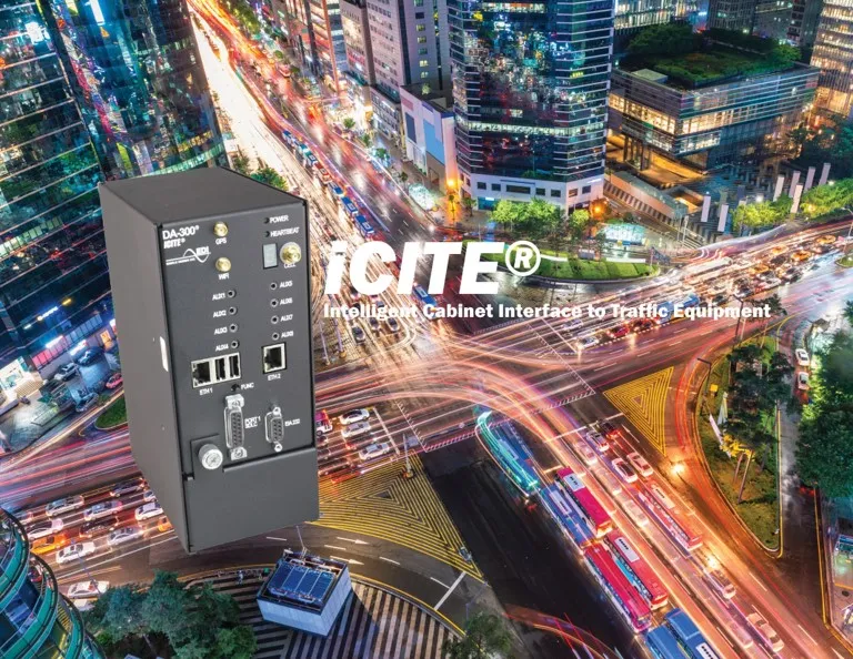
  • Winner Profile: iCITE Data Aggregator by Eberle Design Inc for traffic management
    May 21, 2019
    There is a global need for more intelligent traffic management and enhanced road safety, fuelled by data collection and the useful interpretation of that data into real-time information that provides for effective action by traffic engineers. The prevailing transportation paradigm, one-person-one-vehicle, is forcing the multimodal traffic infrastructure to its limits. With continuous congestion, longer commute times, and increased accidents, agencies are tasked with finding solutions without escalating thei