
Safer construction sites with Leica Geosystems

April 5, 2024 Read time: 1 min
Leica Geosystems has developed a safety system for onsite use

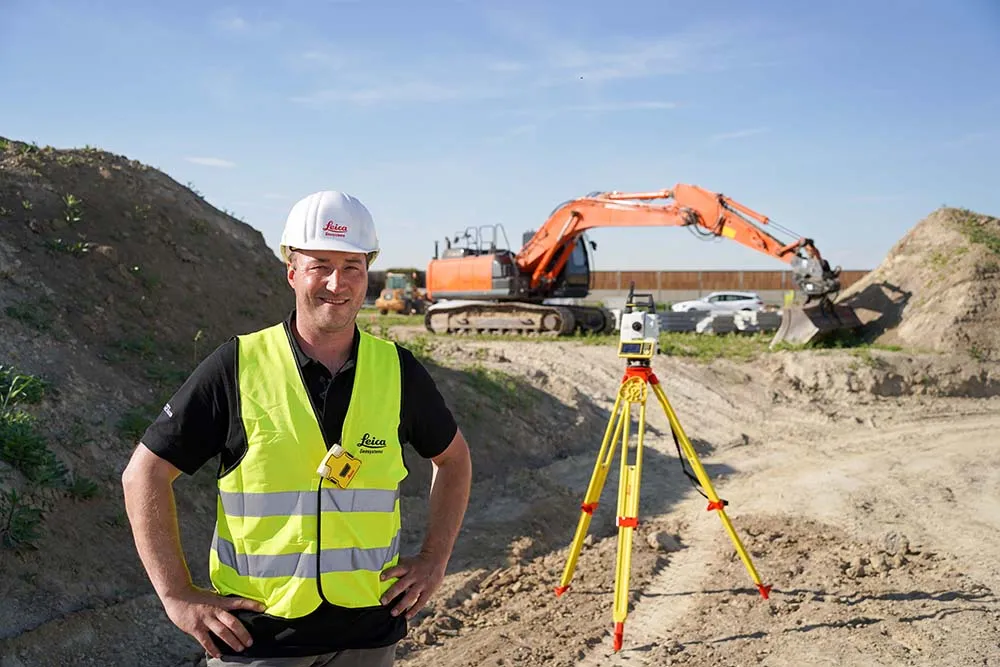
A new package from Leica Geosystems is said to help boost safety for personnel on construction sites. The PA10 system is intended to highlight the location of construction personnel on working sites to machine operators, as well as alerting workers as to where equipment is in use.

“It’s a personal awareness system,” said Thomas Bonvalot of Leica Geosystems. “Everybody onsite will know where a machine is working and the machine operator will know there is a pedestrian.”

For more information on companies in this article

Related Content

  • Compact machine control package from trimble
    December 10, 2018
    Trimble is introducing the Earthworks GO! package, aimed at use with compact machines. This is a significant development as it will allow users of small machines access to machine control systems, improving productivity and work quality. The firm says that its Earthworks GO! offering allows users to deliver accurate grading with a simple, portable package. This compact machine control solution runs on Android or iOS smartphones. Scott Crozier is general manager of Trimble’s general construction division. H
  • Volvo CE machines in the heat of Qatar
    May 14, 2018
    Construction machines from Volvo CE are helping to build a city in the desert in Qatar. The equipment is being used to build the sustainable city of Lusail, located to the north of Doha, Qatar. In temperatures reaching up to 50°C, over 240 Volvo machines have been hard at work, coping with 24-hour days, based on a three-shift cycle building a city designed to support 250,000 residents. Part of Qatar’s Vision 2030, which aims to transform the Middle Eastern state into a society capable of achieving
  • Houston, Texas is seeing fast expansion of population, with in vast increases in traffic
    October 9, 2018
    The US city of Houston is expanding fast and its transport system is having to be developed to cope
  • Accurate utilities detection
    November 26, 2024

    Trimble and Radiodetection are collaborating to improve the technology used in the utility measurement and mapping process. Integrating the Trimble Catalyst DA2 GNSS system and Radiodetection’s RD MapTM+ application and precision locator products helps to streamline utility-locating workflows to provide accurate measurement capabilities and generate underground utilities maps in a single field operation.