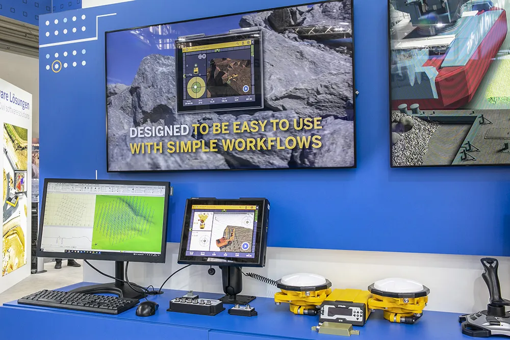
Piling rig control system from Trimble

Trimble is offering machine control options for piling and drilling machines from ABI Maschinenfabrik und Vertriebsgesellschaft as well as Junttan.
December 29, 2022 Read time: 2 mins
Trimble piling system

The Trimble Groundworks package is a 3D machine control system said to improve efficiency and reduce downtime with stakeless navigation, productivity and quality monitoring, and office-to-field connectivity.

The integration of Trimble software in the office and Trimble Groundworks in the field can increase the efficiency and productivity of piling operations, wirelessly syncing data to reduce site visits and provide a single data source.

Trimble Groundworks allows operators to create an in-field design for piling and create piling reports.

To reduce blind spots, administrators can set avoidance zones in the design file. With stakeless workflows, Trimble Groundworks is said to reduce the need for surveyors to be near the machine, making jobsites safer. For an ABI MOBILRAM-System or DELMAG drill rig, the option to install a Trimble Groundworks base kit provides mounting hardware, brackets and an integrated wiring harness.Having the system installed in the factory can reduce the cost and complexity of the installation for the customer.

“Trimble enables our customers to map the entire construction process from planning to quality management. On construction sites, for example, the pile grid does not have to be measured in place,” said Tobias Schmidt, head of control engineering electrics at ABI. “A significant advantage of the Trimble Ready solution is the direct communication with the ABI control system, so that the sensor technology available on the machines can be integrated.”

For more information on companies in this article

Related Content

  • EarthSense Systems releases air pollution map of the UK
    June 15, 2018
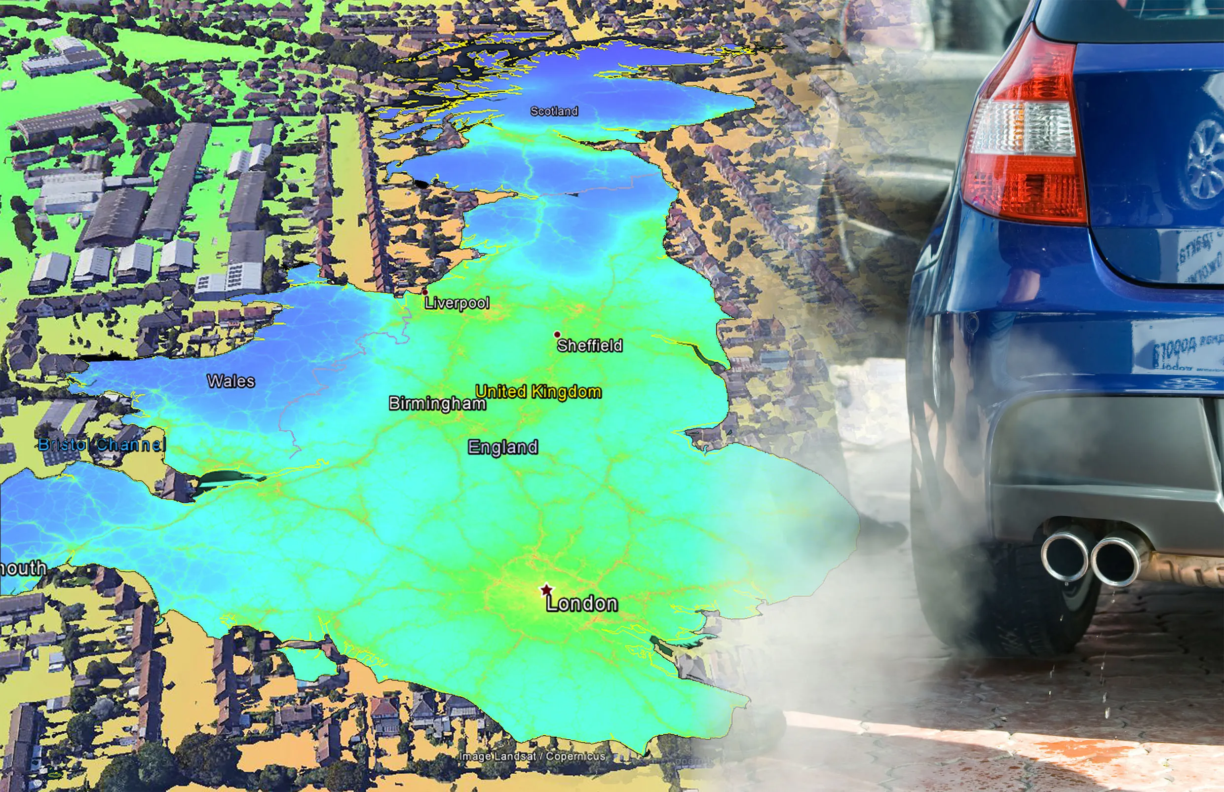
    EarthSense Systems has published MappAir, a high-resolution map of air pollution throughout the entire UK. MappAir shows how air pollution - specifically nitrogen dioxide - changes across the country and within towns and cities, highlighting likely sources and potential clean-air refuge areas. It combines data from satellites and its EarthSense Systems’ own air quality monitoring sensors along with open source data. The result, using complex modelling, creates a highly accurate map at 100m resolution, says
  • EarthSense Systems releases air pollution map of the UK
    June 26, 2018
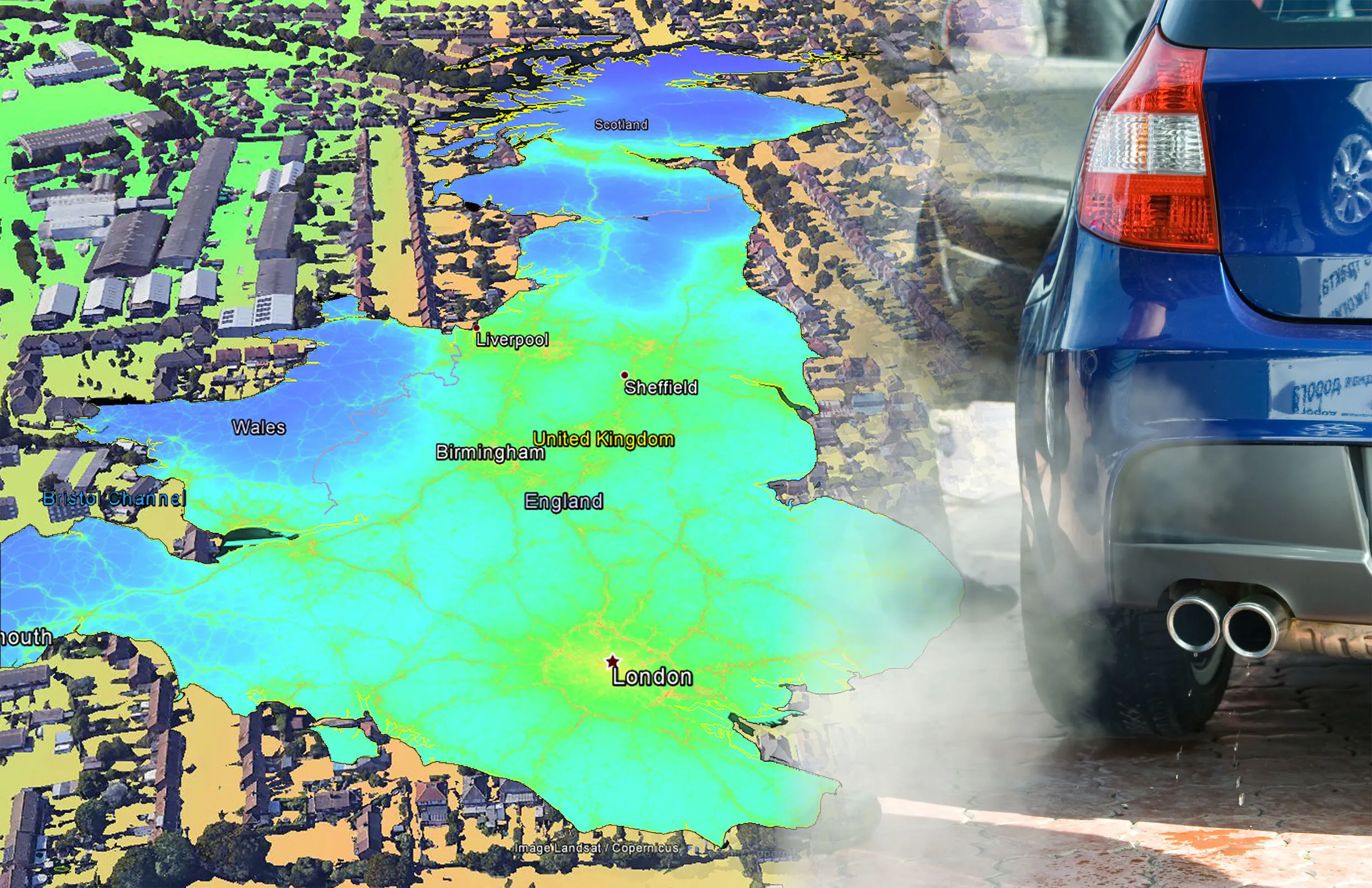
    EarthSense Systems has published MappAir, a high-resolution map of air pollution throughout the entire UK MappAir shows how air pollution - specifically nitrogen dioxide - changes across the country and within towns and cities, highlighting likely sources and potential clean-air refuge areas. It combines data from satellites and its EarthSense Systems’ own air quality monitoring sensors along with open source data. The result, using complex modelling, creates a highly accurate map at 100m resolution, says
  • Reality check: Topcon’s Aptix
    July 20, 2023
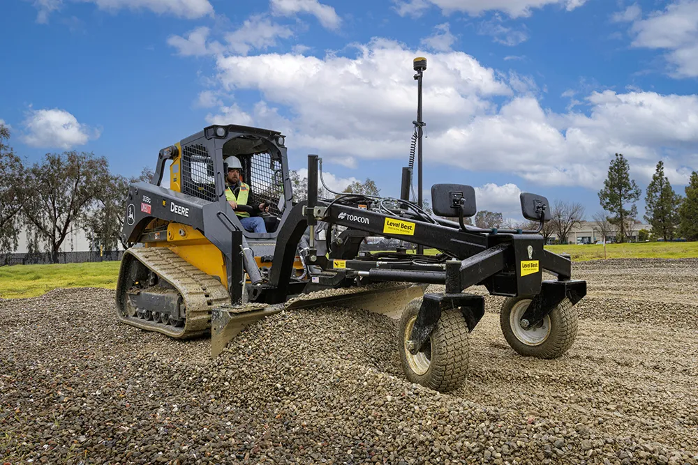
    The biggest challenge facing construction professionals and general contractors is disconnected data and/or siloed data sources. The recently launched Aptix integration platform has broken down these silos, explains Topcon’s Scott Langbein.
  • Smart road surfacing in a tunnel
    August 19, 2022
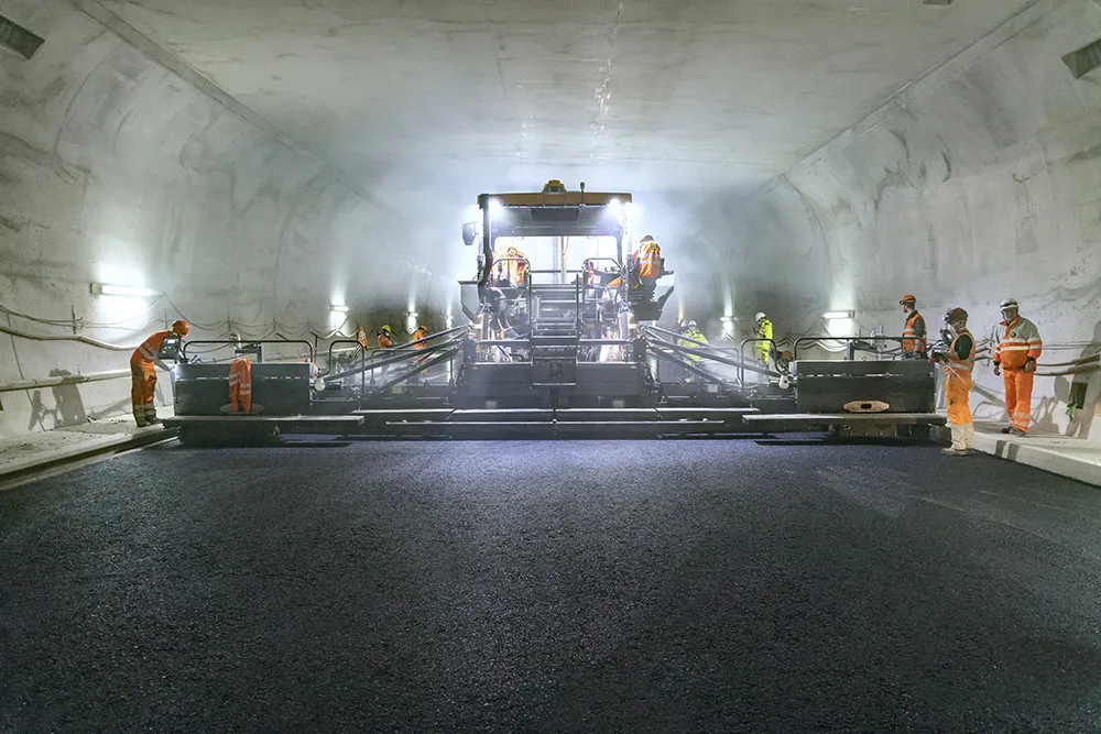
    Smart road construction techniques have been used in the widest tunnel in Switzerland. Efficient operation and logistics were required for paving a width of 11.5m in the Gubrist Tunnel and contractor Marti AG Solothurn Bauunternehmung made good use of Vögele’s WITOS Paving Plus technology to optimise its work on the project.