No superhero

In the Australian city of Melbourne, an 18- year-old man was critically injured when he was hit by a four wheel drive vehicle. The man had been dared by his friends to stand on a freeway, wearing only his underwear for protection. The vehicle was written off in the incident although its occupants were unhurt. Local police criticised the man for his "utter stupidity" and said it was lucky that no-one was killed.
July 19, 2012 Read time: 1 min
In the Australian city of Melbourne, an 18- year-old man was critically injured when he was hit by a four wheel drive vehicle. The man had been dared by his friends to stand on a freeway, wearing only his underwear for protection. The vehicle was written off in the incident although its occupants were unhurt. Local police criticised the man for his "utter stupidity" and said it was lucky that no-one was killed.

Related Content

  • Tasmanian bridge proposal faces controversy
    October 27, 2020
    The design proposal for a new Tasmanian bridge project faces controversy.
  • Apps for all in Louisiana
    May 20, 2020
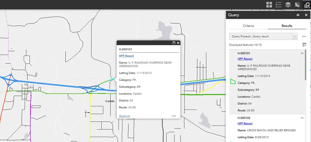
    Jason Barnes* looks at how a system of engagement (SoE) from software specialist Esri helped the US state of Louisiana’s transportation department create user-friendly apps
  • Italy's strategic tunnel link
    August 21, 2012
    The world's largest tunnelling machine is completing Italy's important road connection between Bologna and Florence - Adrian Greeman reports For just under a decade a huge programme of highway construction has been underway in the mountainous region between Bologna and Florence, realigning a section of the A1 highway nearly 70km long. The new section, through major tunnels and across high viaducts, will greatly increase capacity on Italy's most important highway.
  • London police mapping crash data
    June 27, 2013
    London’s Metropolitan Police Service is using the latest desktop mapping software to collate essential data about road traffic collisions. The advanced Geographical Information System (GIS) from GGP Systems in being used to identify and map the exact location of incidents where a personal injury has occurred and prepare detailed reports for the Department for Transport (DfT) and Transport for London (TfL). This can be used to highlight problem areas, with plans for improving infrastructure then being drawn