New surveying tool from Sokkia

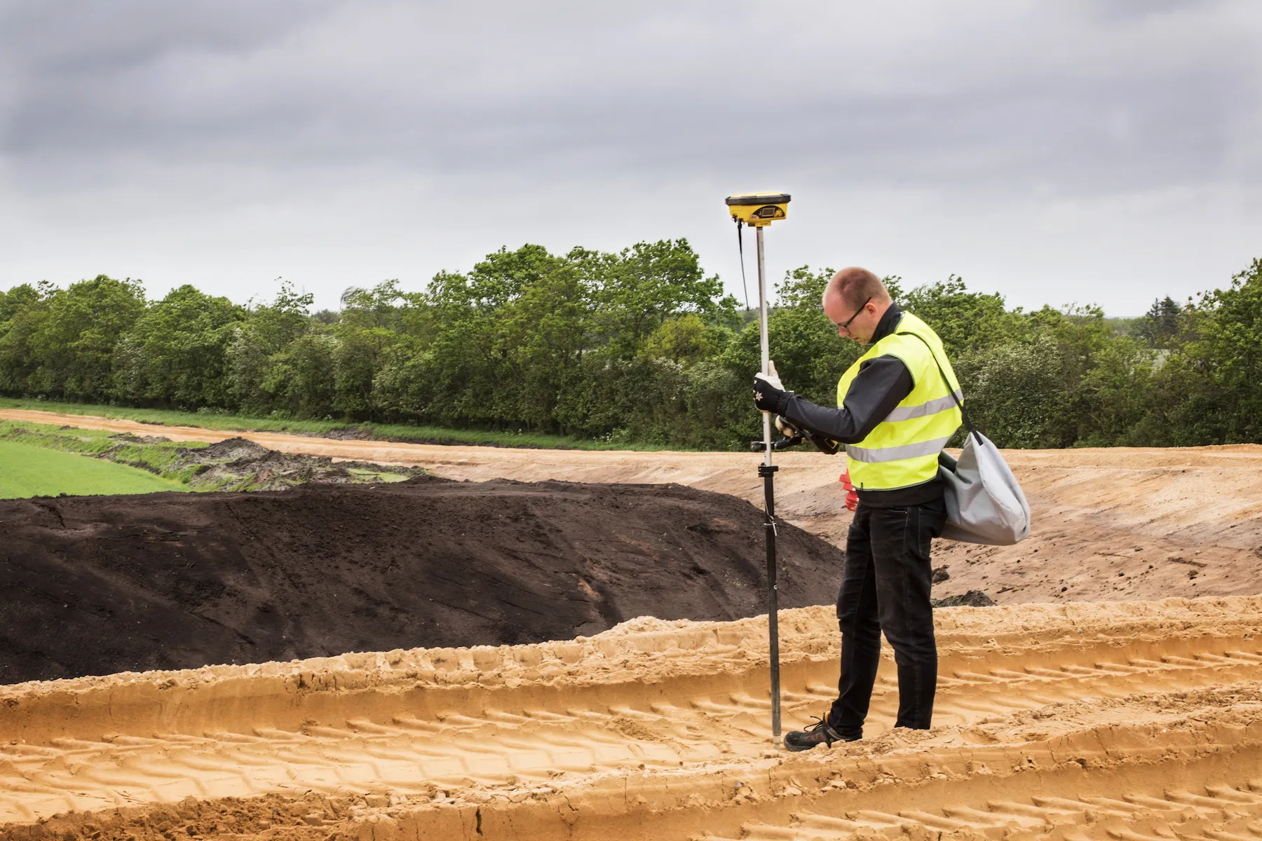
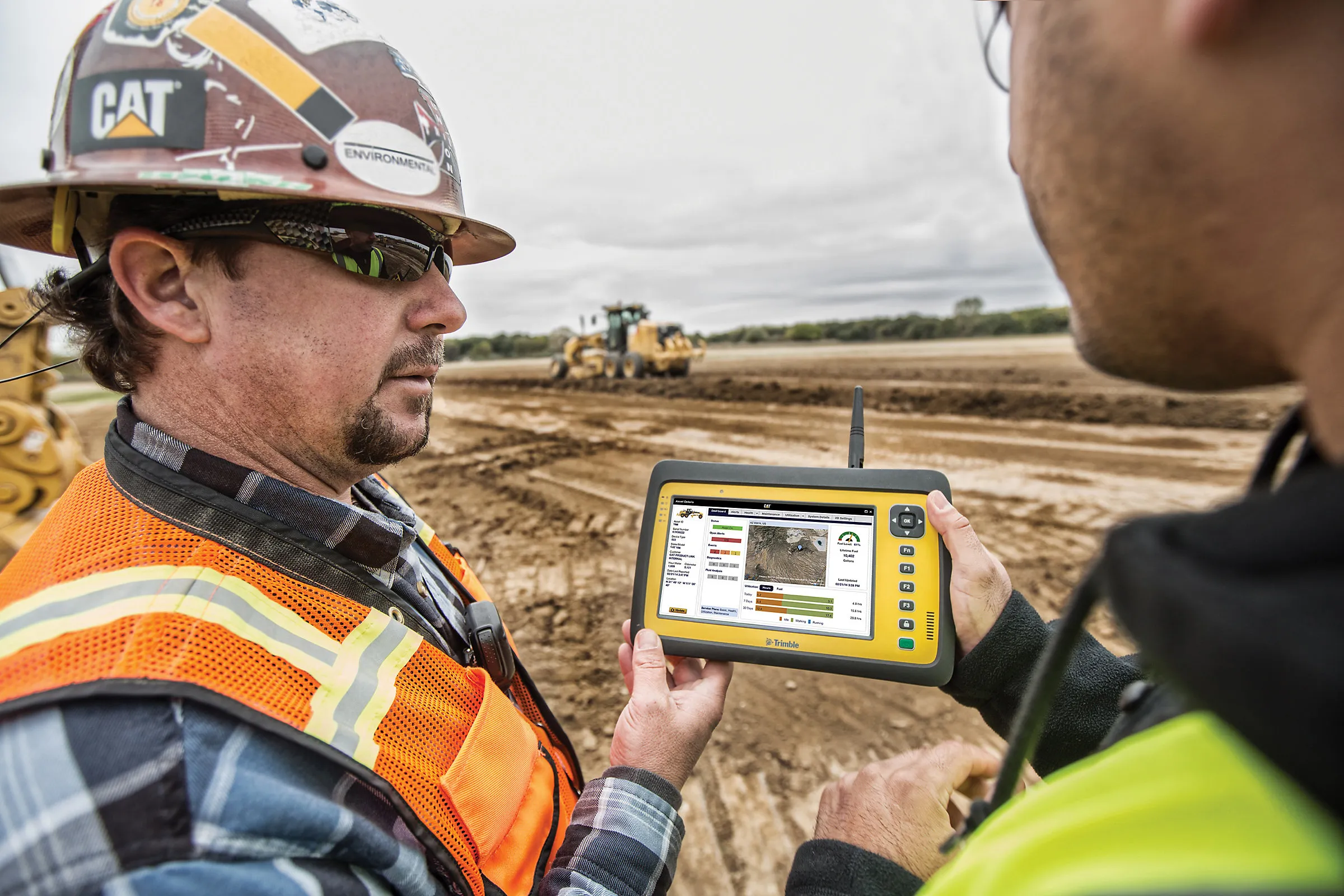
Sokkia is introducing a new field controller for use with construction and surveying applications, the SHC5000. The unit runs the firm’s MAGNET Field, Site and Layout software and is designed as a versatile and fast handheld computer for GNSS receivers and total stations. It is also said to offer the largest screen size in the Sokkia line. The display’s capacitive touch interface comes with finger, glove, small tip stylus and water capable options. Operators can also change the screen from portrait to l
July 6, 2016 Read time: 2 mins
1090 Sokkia is introducing a new field controller for use with construction and surveying applications, the SHC5000.

The unit runs the firm’s MAGNET Field, Site and Layout software and is designed as a versatile and fast handheld computer for GNSS receivers and total stations. It is also said to offer the largest screen size in the Sokkia line. The display’s capacitive touch interface comes with finger, glove, small tip stylus and water capable options. Operators can also change the screen from portrait to landscape when viewing maps or drawings. The SHC5000 comes with two built-in cameras. One uses an 8MP camera with autofocus and LED flash that is designed for uses such as field photography. The second has a 2MP camera on the front side of the unit for purposes such as video meetings.

Additional features include 64GB of flash storage, an optional 4G LTE cellular modem, internal GPS navigation, Bluetooth and Wi-Fi, and a battery life of 10-plus hours.

For more information on companies in this article

Related Content

  • Danish digging for Leica Geosystems’ 3D machine control
    October 26, 2017
    In Denmark’s northern Jutland, Leica Geosystems’ equipment is being used to help build a 40km motorway, one of the fastest-built such projects in the country’s history. The Danish Road Directorate is the client for the €5.4 million motorway between the two Danish cities of Herning, to the south with around 50,000 people, and Holstebro, a city of about 35,000 people, north of Herning. Preliminary ground investigations were made in 2013 and work started in 2015 with completion set for 2018.
  • Closer up with Chromasens' 3DPIXA Rl camera
    September 6, 2021
    Chromasens said the 3DPIXA Rl 3D automatically detects potholes and cracks.
  • Caterpillar develops advances telematics technology to track machine performance
    February 24, 2017
    Caterpillar is launching new Cat Connect hardware and software to enable equipment managers to connect all of their assets—from the largest earthmover to the smallest generator, and including both light and heavy-duty trucks and utility vehicles. New Cat Product Link technologies connect any brand and type of equipment, powered or non-powered, and all report through a single system, VisionLink. The new technologies are said to offer multiple communications channels—cellular, satellite and Bluetooth—to b
  • Winner Profile: iCITE Data Aggregator by Eberle Design Inc for traffic management
    May 21, 2019
    There is a global need for more intelligent traffic management and enhanced road safety, fuelled by data collection and the useful interpretation of that data into real-time information that provides for effective action by traffic engineers. The prevailing transportation paradigm, one-person-one-vehicle, is forcing the multimodal traffic infrastructure to its limits. With continuous congestion, longer commute times, and increased accidents, agencies are tasked with finding solutions without escalating thei