Leica’s growing support network

Leica Geosystems has launched Leica Zeno Office v3.1 and Leica MobileMatriX v5.1 software updates for the Zeno GIS series. Leica Zeno Office v3.1 and MobileMatriX v5.1 now support the new Leica CS25 GNSS, an innovative tablet computer and high accuracy data collector; Esri ArcGIS 10.0/10.1; and post-processing accuracy improvements. Johannes Hotz, senior product manager, says: “Both Zeno Office, in combination with Leica Zeno Field, and MobileMatriX further support the measurement of positions and associate
April 23, 2013 Read time: 2 mins

Leica Geosystems has launched Leica Zeno Office v3.1 and Leica MobileMatriX v5.1 software updates for the Zeno GIS series.

265 Leica Zeno Office v3.1 and MobileMatriX v5.1 now support the new Leica CS25 GNSS, an innovative tablet computer and high accuracy data collector; Esri ArcGIS 10.0/10.1; and post-processing accuracy improvements.

Johannes Hotz, senior product manager, says: “Both Zeno Office, in combination with Leica Zeno Field, and MobileMatriX further support the measurement of positions and associated information of items of economic value that are owned by an individual, the public or an organisation. This associated information includes support for feature and attribute rich data collection in addition to the capture, management and storage of survey grade geometry. This means that for every stage in the asset management life cycle our valued clients can collect rich and accurate data, while maintaining the integrity of their data model.”

The combination of the Leica CS25 GNSS and MobileMatriX is said to ensure that asset collection and post-processing of GNSS raw data can now been done in one application and on one device, bringing field and office application together into a highly portable solution. Support for file based geodatabases ensures that the user can take data into the field, while, at the same time, benefiting from claimed unmatched performance in terms of file size and speed.

Leica MobileMatriX v5.1 also supports the latest sensors from Leica Geosystems to ensure compatibility of MobileMatriX with other Leica Geosystems technology (Zeno GG03 SmartAntenna, Zeno CS25 GNSS tablet computer, Leica GS14 and the new Leica FlexLine plus series).

For more information on companies in this article

Related Content

  • Smarter software from Trimble
    May 8, 2019
    Trimble has introduced version 5.0 of Trimble Business Center. This merges two products, Trimble Business Center and Business Center - HCE, to provide surveying and civil construction customers with a complete office software solution. The combined software enables data interoperability between survey and construction workflows for more efficiency, time savings and data quality. The firm says that the package simplifies workflows and licensing for its customers, saving them time and money by providing a
  • Leica Cyclone teams up with NCTech’s iSTAR camera database
    January 19, 2016
    Users of Leica Cyclone, a 3D point cloud processing software, can now automatically import and align high-dynamic range (HDR) data from NCTech’s iSTAR camera database. The result is enhanced images delivered faster and easier, according to both companies. “It is also the accuracy to which these images fit the 3D point cloud data that is paramount. NCTech’s iSTAR camera produces high-quality HDR imaging at the accuracy everyone expects,” said Faheem Khan, vice president, business development for Leica Geosys
  • GPS machine control improves construction accuracy
    February 29, 2012
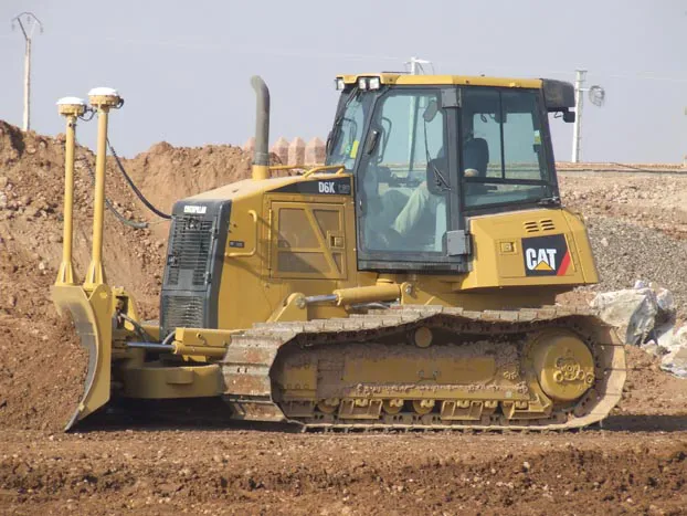
    The latest GPS systems will improve the accuracy of many construction operations. Mike Woof reports. The pace of technological advancement is fast in the GPS market. Despite a market downturn, the GPS solution providers continue to invest in research and development. And there is evidence to suggest that the contracting sector is more keen than ever to employ the latest technology because of the cost benefits this can bring.
  • AibotX6 Version 2 uses High Precision GNSS
    January 19, 2016
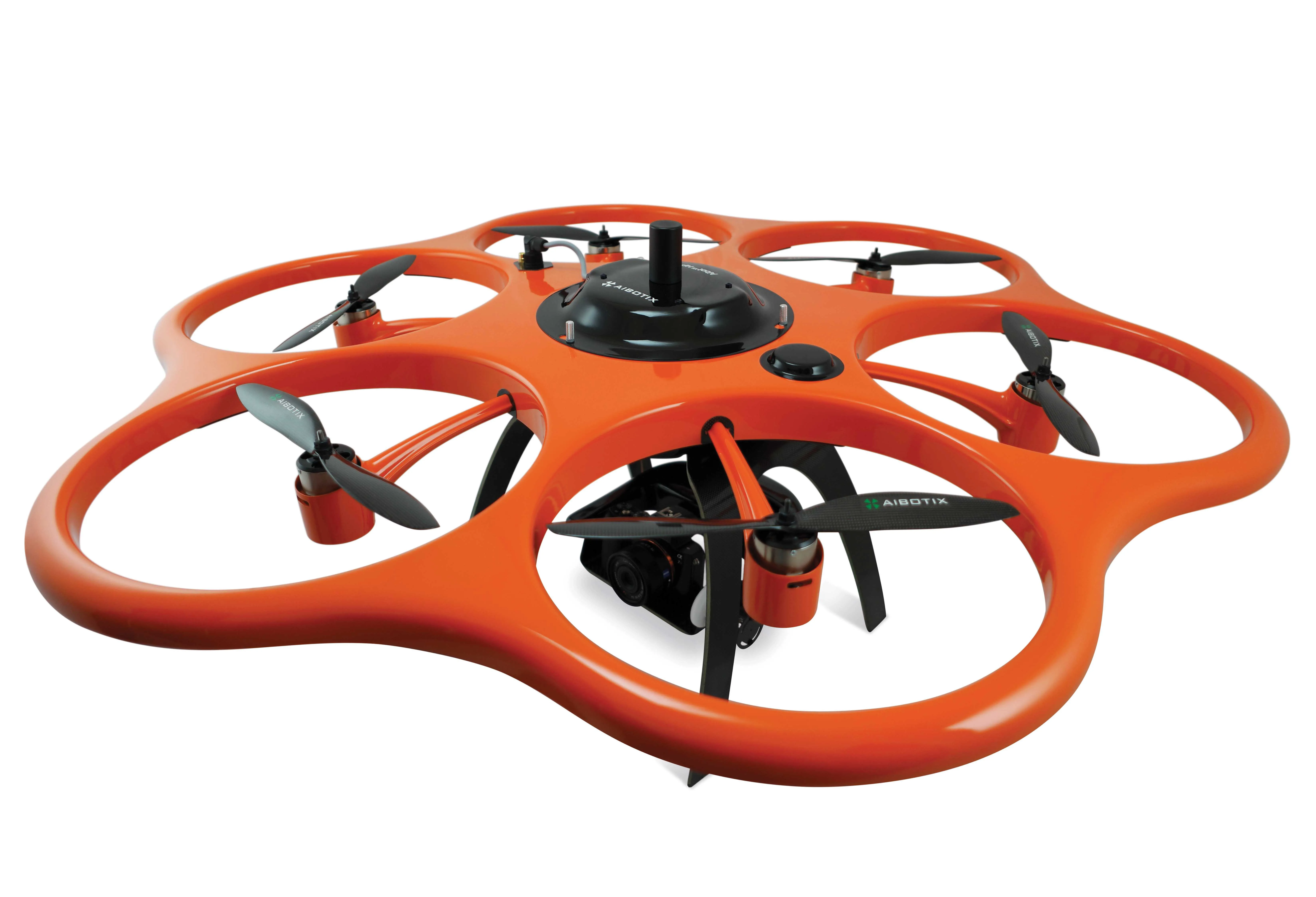
    Kassel-based company Aibotix has presented a solution for high-precision surveying with Version 2 of its tried and tested surveying hexacopter AibotX6: High Precision GNSS. Aibotix, based in Kassel, in the middle of Germany, develops and manufactures multi-copters for applications in the industrial sector. The company's name is a combination of Ai for artificial intelligence and botix for robotics.