Leica’s growing support network

Leica Geosystems has launched Leica Zeno Office v3.1 and Leica MobileMatriX v5.1 software updates for the Zeno GIS series. Leica Zeno Office v3.1 and MobileMatriX v5.1 now support the new Leica CS25 GNSS, an innovative tablet computer and high accuracy data collector; Esri ArcGIS 10.0/10.1; and post-processing accuracy improvements. Johannes Hotz, senior product manager, says: “Both Zeno Office, in combination with Leica Zeno Field, and MobileMatriX further support the measurement of positions and associate
April 23, 2013 Read time: 2 mins

Leica Geosystems has launched Leica Zeno Office v3.1 and Leica MobileMatriX v5.1 software updates for the Zeno GIS series.

265 Leica Zeno Office v3.1 and MobileMatriX v5.1 now support the new Leica CS25 GNSS, an innovative tablet computer and high accuracy data collector; Esri ArcGIS 10.0/10.1; and post-processing accuracy improvements.

Johannes Hotz, senior product manager, says: “Both Zeno Office, in combination with Leica Zeno Field, and MobileMatriX further support the measurement of positions and associated information of items of economic value that are owned by an individual, the public or an organisation. This associated information includes support for feature and attribute rich data collection in addition to the capture, management and storage of survey grade geometry. This means that for every stage in the asset management life cycle our valued clients can collect rich and accurate data, while maintaining the integrity of their data model.”

The combination of the Leica CS25 GNSS and MobileMatriX is said to ensure that asset collection and post-processing of GNSS raw data can now been done in one application and on one device, bringing field and office application together into a highly portable solution. Support for file based geodatabases ensures that the user can take data into the field, while, at the same time, benefiting from claimed unmatched performance in terms of file size and speed.

Leica MobileMatriX v5.1 also supports the latest sensors from Leica Geosystems to ensure compatibility of MobileMatriX with other Leica Geosystems technology (Zeno GG03 SmartAntenna, Zeno CS25 GNSS tablet computer, Leica GS14 and the new Leica FlexLine plus series).

For more information on companies in this article

Related Content

  • Trimble advances in machine control
    August 22, 2018
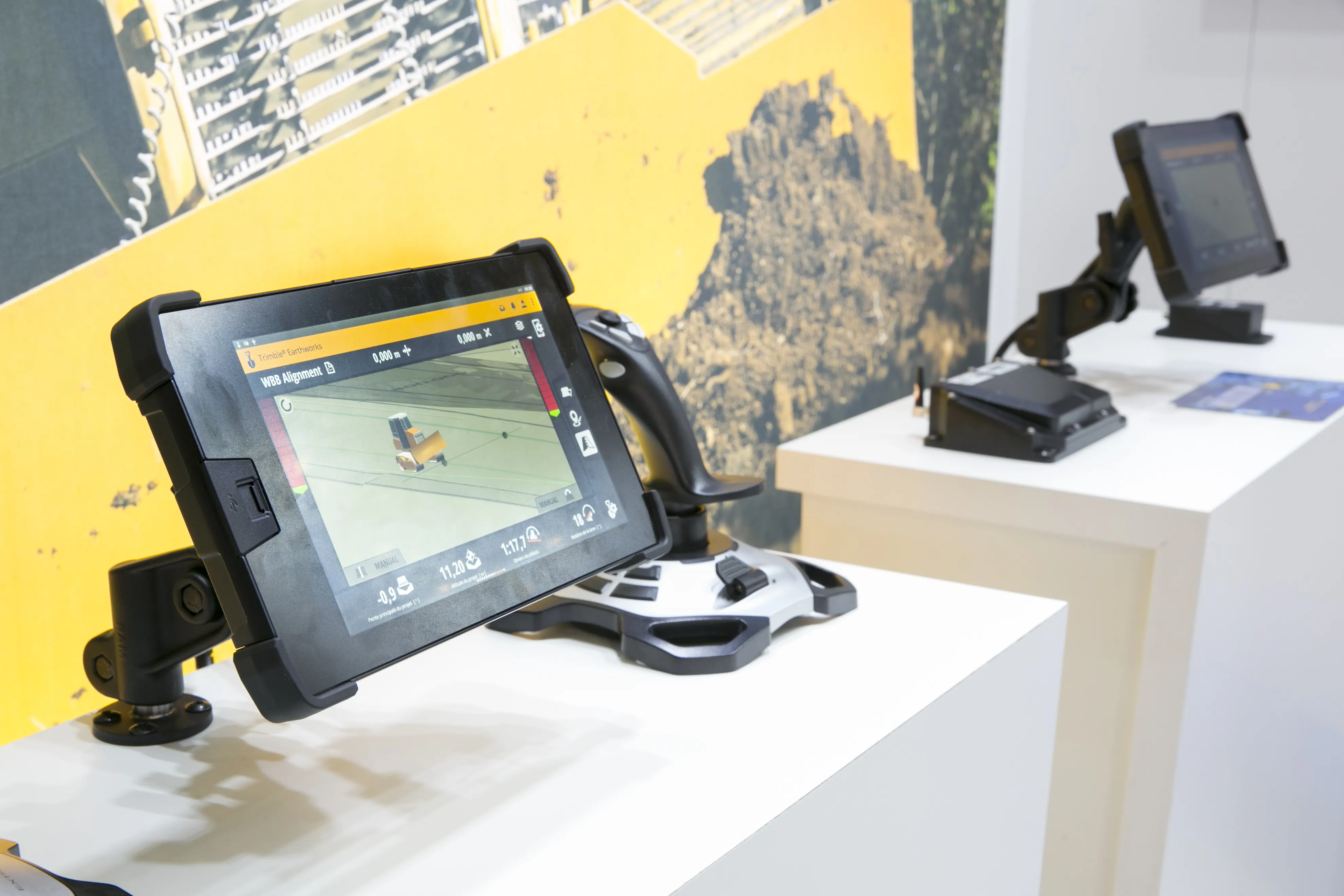
    Trimble is offering new advances in machine control technology – Mike Woof writes An important technology advance from Trimble is now coming from its expanding range of EarthWorks machine control systems. These systems can help deliver more efficient earthmoving operations, increasing productivity while maintaining accuracy. The first EarthWorks system was developed for use with excavators and this latest system is designed to be used with dozers, utilising much of the same hardware. Meanwhile, othe
  • Smart excavators coming to market
    March 23, 2021
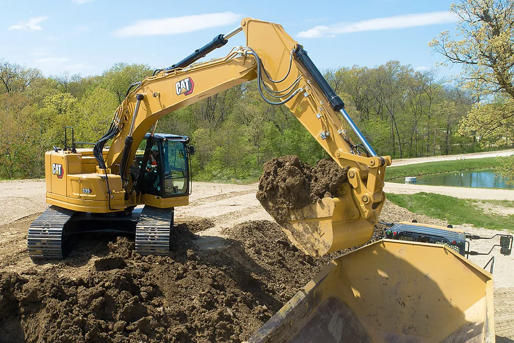
    New excavators coming to market offer a combination of increased performance and smart technology
  • Meeting engine emission regulations challenges
    February 16, 2012
    New engine emission regulations pose major challenges for engine manufacturers - Geoff Ashcroft reports. The arrival of emissions regulations in January for engines over 130kW has meant that engine makers have adopted varied technologies to meet and exceed those goals. For the end user though, buying new kit that complies with Tier 4 Interim/Stage IIIB emissions regulations is likely to carry additional costs.
  • Innovations in concrete paving technology
    March 16, 2012
    Paving with concrete offers a strong and long life base for a roadway, with manufacturers continuing to develop technologies – Mike Woof reports. Innovation comes fast in the concrete paving market with a number of specialist suppliers offering an array of solutions to meet the needs of slipforming contractors. These machines can be used for a range of applications from large-scale airport runway or highway construction duties, tunnel jobs, bridge decks, barriers, traffic islands and kerbs. Because the app