It’s a level playing field with Leica’s iCON gps 70 Series

Efficiency is the name of the game from the iCON gps 70 Series, a GNSS rover from Leica Geosystems. With the iCON gps 70 T you can measure and stakeout points faster and without the need to keep the pole vertical and level the bubble. The combination of the latest GNSS technology and inertial measurement unit (IMU) equips the iCON gps 70 T with permanent tilt compensation and makes it resistant to any magnetic interference. Because the iCON gps 70 T is calibration-free, it can be ready instantly and any
April 27, 2018 Read time: 2 mins
Leica’s iCON gps 70: no need to keep the pole vertical and level the bubble

Efficiency is the name of the game from the iCON gps 70 Series, a GNSS rover from Leica Geosystems.

With the iCON gps 70 T you can measure and stakeout points faster and without the need to keep the pole vertical and level the bubble.

The combination of the latest GNSS technology and inertial measurement unit (IMU) equips the iCON gps 70 T with permanent tilt compensation and makes it resistant to any magnetic interference.

Because the iCON gps 70 T is calibration-free, it can be ready instantly and anywhere that it is needed.

The on-site operator can collect as-built field data and stake out designs faster while increasing accuracy and reduced errors. This also allows the operative to focus more on his or her safety in a hazardous environment.

The iCON gps 70 series is seamlessly integrated into the Leica iCON field software. By keeping the core central interface, following the unrivalled Leica iCON concept, the onsite operative can benefit from the simple-to-use workflows which require less training and avoid costly downtime.

The GNNSS technology allows 555 channels for more signals, faster acquisition
and improved sensitivity.

To ensure accuracy and continued use, the unit is IP66 / IP68 protected. It is also built for extreme temperatures of -40°C to +65°C.

Related Content

  • Sophisticated GNSS system
    February 9, 2012
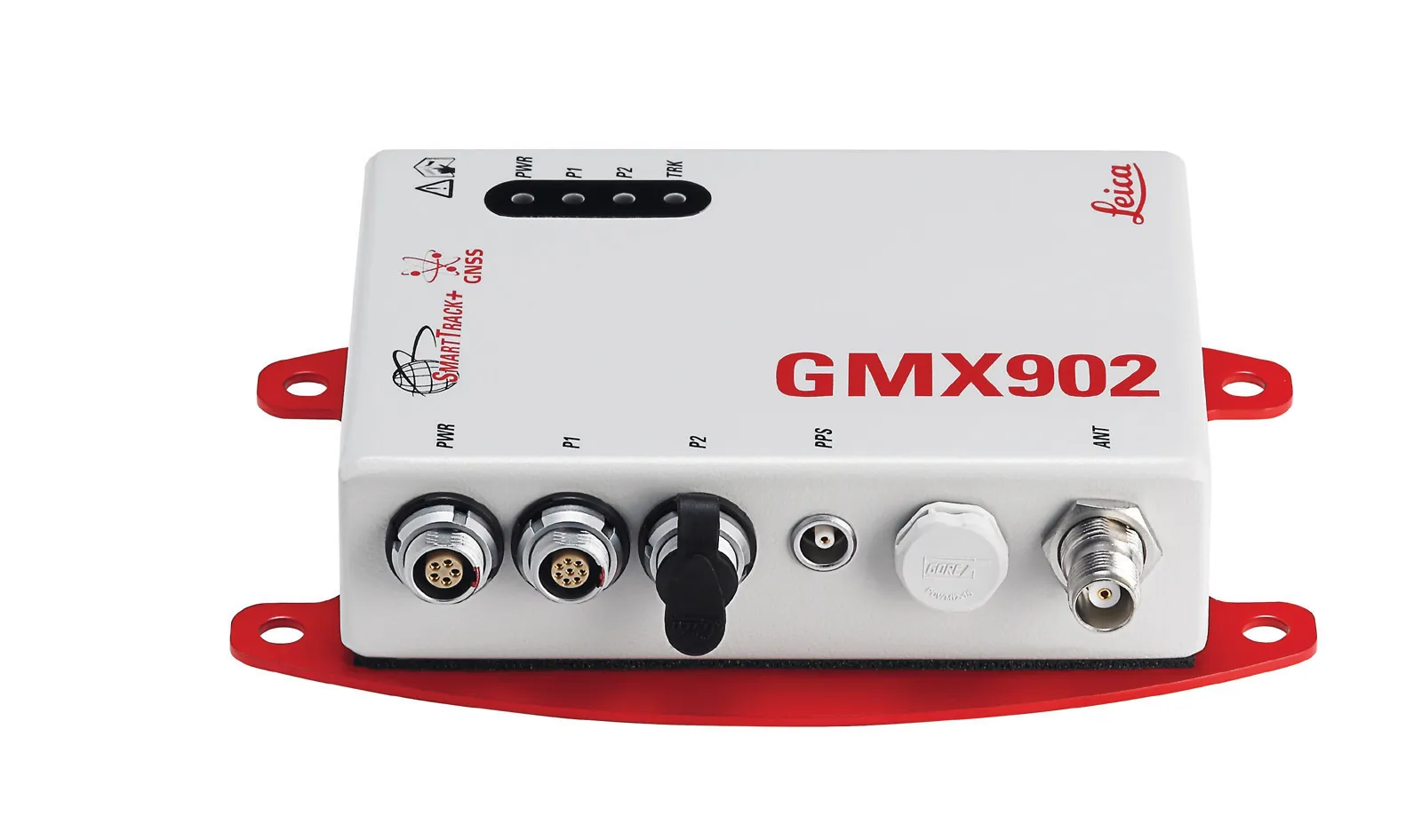
    Leica Geosystems says that its new GR10 unit is a sophisticated GNSS reference station receiver and features ease of use, reliability and performance. The GR10 is said to help streamline system installation, day to day operation and administration. The system can be commissioned quickly and features its own receiver hostname while DHCP support means there is no need for pre-configuration of the IP address.
  • Topcon’s advanced software for construction
    December 12, 2018
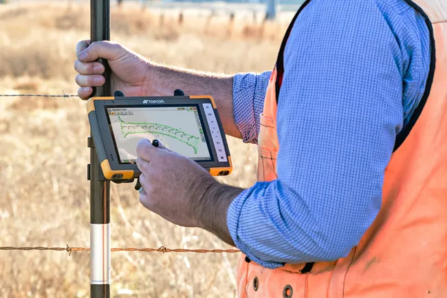
    Topcon Positioning is introducing the latest version of its MAGNET 5 software. This new version includes upgrades to the MAGNET Field, Office and Enterprise applications designed for advanced performance, third-party integration, and construction planning and oversight capability. The package offers new flexible display options and additional customisable data labels. Additionally, operators can view GNSS status when the controller is connected to a total station in Hybrid mode, and show offsets as a visua
  • Kronprinsesse Marys Bro bridges Roskilde Fjord
    January 10, 2019
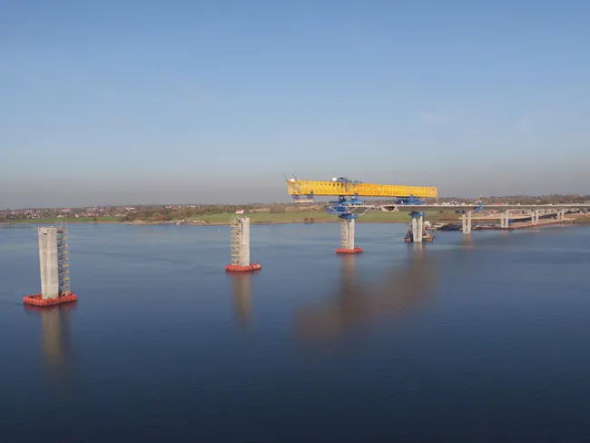
    A BESIX joint venture is giving the royal treatment to the new Kronprinsesse Marys Bro across Roskilde Fjord, writes David Arminas It was announced in September 2016 that Belgian group BESIX, in a joint venture (RBAI) with Italian firm Rizzani de Eccher and Spanish company Acciona Infraestructuras, had been chosen for the €133 million project. The award, by client Vejdirektoratet (Danish Road Directorate), marked the entry of BESIX into the Scandinavian market. Vejdirektoratet praised the winning bid as
  • Surveying software from Trimble
    June 15, 2021
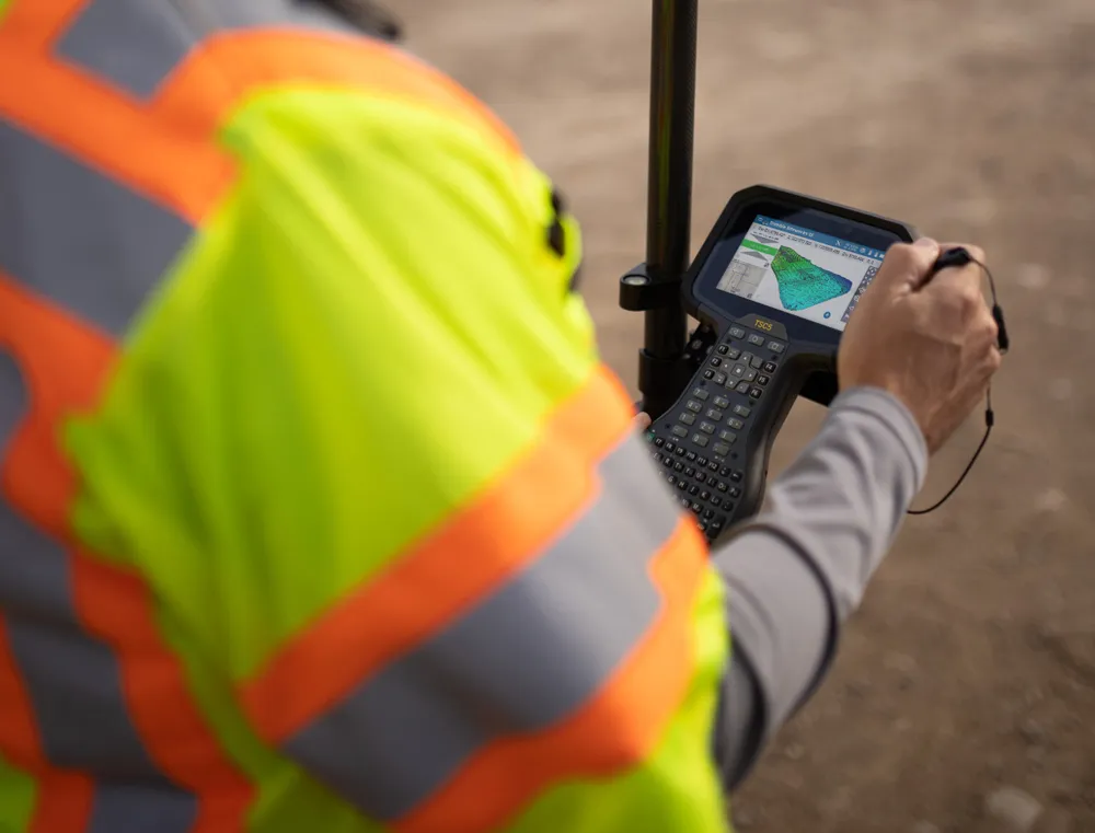
    Trimble has introduced its Siteworks SE Starter Edition, an entry-level, easy-to-use construction surveying software.